Minnesota | Northern Minnesota
Big Fork River
Highway 6 South to Highway 6 North
Check current paddling conditions for this Big Fork River route, including water level, recent gauge trend, weather, and route details.
Route snapshot
Loading the route snapshot. This usually takes a few seconds.
Today
Get the answer fast, then scan the route.
Start with the verdict, current conditions, route plan, and quick facts before you commit to the drive.
Today's conditions
Gauge
Recent trend
Checking preferred range.
Checking trend.
Gauge source
-- Checking timestampMN DNR provides the current paddling level here, but not chart-ready recent samples.
Weather
Best window today
Checking weather.
Today by hour
Short-route forecast
Checking the next several hours.
Quick facts
Plan
Dial in the shuttle, distance, and access.
Use this section once the route looks viable and you need to turn it into an actual trip plan.
Access plan
Access, shuttle, and map
Launch at the southern Highway 6 carry-in near the Craigsville gauge and take out at the northern Highway 6 access. This is DNR's 15.7-mile recommended Big Fork day trip through remote Koochiching State Forest.
Put-in
Highway 6 South / State Hwy 6 Bridge carry-in access Open mapBoth endpoints are official public-water-access sites, but they are remote carry-in landings with limited services.
Take-out
Bill Counter Landing / Highway 6 North carry-in access Open mapThe DNR access layer labels the upstream put-in as State Hwy 6 Bridge and the downstream take-out as State Hwy 6 (S), while the DNR route page uses Highway 6 (S) to Highway 6 (N). Use river miles and coordinates to avoid confusion.
Pulling access map tiles. Usually under 5 seconds.
Access caveats
- Both endpoints are official public-water-access sites, but they are remote carry-in landings with limited services.
- The DNR access layer labels the upstream put-in as State Hwy 6 Bridge and the downstream take-out as State Hwy 6 (S), while the DNR route page uses Highway 6 (S) to Highway 6 (N). Use river miles and coordinates to avoid confusion.
- This route is long enough that daylight, weather, and a realistic bailout plan matter more than on short metro routes.
Watch for
- Rocky or impassable rapids when Big Fork levels fall toward the scrapable/low band.
- A Class I rapid immediately below the put-in, plus additional Class I-II rapids, cold water, sweepers, beaver-dam potential, and remote shoreline with limited quick exits.
- Do not continue into Big Falls or Little American Falls sections without separate whitewater and portage planning.
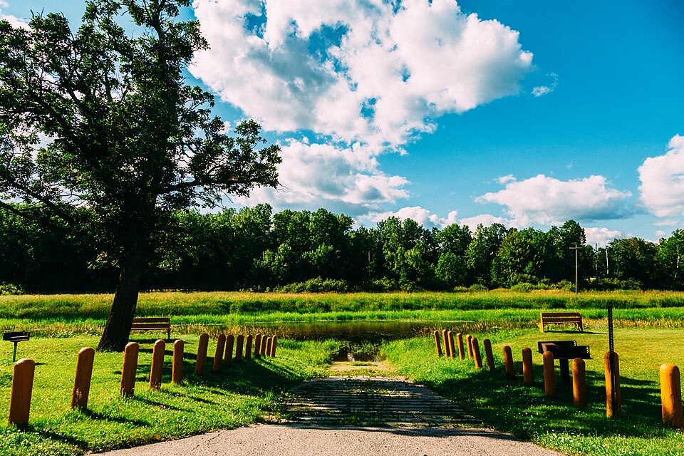
Route gallery
See this route on the water
Photos help show what the access looks like and what the route actually feels like on the water.
Sources
Check the data behind today's call.
Use this section when the page shows stale data, limited confidence, or a call you want to verify before driving.
Why this score Today's data confidence is checking
Data confidence mostly comes down to three things: how direct the gauge is, how clear the range is, and how fresh the data is.
- Checking data confidence notes.
- Checking data confidence cautions.
Outlook Tomorrow and weekend
This is a cautious early look. If the data is too thin, we leave it out.
Waiting on forecast.
Waiting on forecast.
Data behind the score Gauge, thresholds, and timing
These are the live readings and threshold notes behind today's score.
| Gauge site | Big Fork River nr Craigsville, MN6 |
| Gauge height | Checking |
| Discharge | Checking |
| 24h trend | Checking |
| 24h change | Checking |
| Current band | Checking |
| Rain last 24h | Checking |
| Rain last 72h | Checking |
| Air temp | Checking |
| Water temp | Checking |
| Wind | Checking |
| Gusts | Checking |
| Rain timing | Checking |
| Target band | 4.50 ft to 8.50 ft |
| Low threshold | 4.00 ft |
| High threshold | 9.50 ft |
| Data confidence behind the range | Official data source |
| Gauge observed | Checking |
| Paddle Today updated | Checking |
| Main source behind this score | MN DNR river-level interpretation bands for Big Fork River near Craigsville |
| Gauge source | Checking |
| Weather source | Checking |
| Rainfall source | Checking |
Notes What to know before you go
These notes cover the access details, route quirks, and source caveats most likely to matter once you get there.
- DNR bands 4.0 / 4.5-8.5 / 9.5 ft
MN DNR interprets the Craigsville / Highway 6 gauge as Scrapable below 4.0 ft, Low from 4.0 to 4.5, Medium from 4.5 to 8.5, High from 8.5 to 9.5, and Very High above 9.5.
- Recommended trip 15.7 river miles
MN DNR recommends Highway 6 (S) carry-in access at river mile 91.5 to Highway 6 (N) carry-in access at river mile 75.8 as a long day trip or leisurely overnight through remote Koochiching State Forest.
- Public access records DNR access IDs WAS01794 and WAS01792
Minnesota public-water-access data identifies the put-in as Big Fork River, State Hwy 6 Bridge Public Water Access Site and the take-out as Bill Counter Landing / Big Fork River, State Hwy 6 (S) Public Water Access Site.
- Route character Remote wooded shoreline
DNR says this trip winds through thickly wooded shoreline in remote Koochiching State Forest. The route map names Easy Half watercraft campsite at river mile 81.7, with a grassy tree-lined clearing and picnic tables.
- Gauge corroboration USGS 05131870
USGS lists Big Fork River at CSAH 6 near Craigville at the same corridor crossing. This supports the gauge-location story, while MN DNR remains the threshold source because it publishes paddling bands.
- Low-water context Rapids may become too rocky
DNR notes that some Big Fork rapids are too rocky to run when the Highway 38 bridge gauge in Bigfork is below four feet; use that as a supplemental low-water caution even though the route uses the closer Craigsville gauge for scoring.
Verify it yourself Check the source links
Use these links to double-check the gauge, route details, and access notes before you head out.
Paddler reports
Recent notes from paddlers
A few quick notes from people who were on this route recently.
Reports
Photos, paddler notes, and updates.
See what others have shared, then add a condition report, upload photos, or flag anything that needs fixing.
Share your trip
Keep exploring
More routes to check next
Compare another stretch on this river, or jump to nearby options before you pick a plan.
More in Minnesota
All 46 routesNearby routes by distance
Quick answers
Big Fork River paddling FAQ
What water level is good for paddling Big Fork River?
Paddle Today watches Big Fork River nr Craigsville, MN6 and treats 4.50 ft to 8.50 ft as the target band for this route, with weather and recent trend included in the final score.
Where does this Big Fork River route start and end?
This route starts at Highway 6 South / State Hwy 6 Bridge carry-in access and ends at Bill Counter Landing / Highway 6 North carry-in access, about 15.7 mi on the water.
Is this Big Fork River route good for beginners?
This is listed as a moderate route. Expect more planning than an easy float, and use the live score, route notes, and source links before committing.
Flag a change
See something outdated?
Access, hazards, wood, and shuttle details change. Send a quick correction if something looks off.