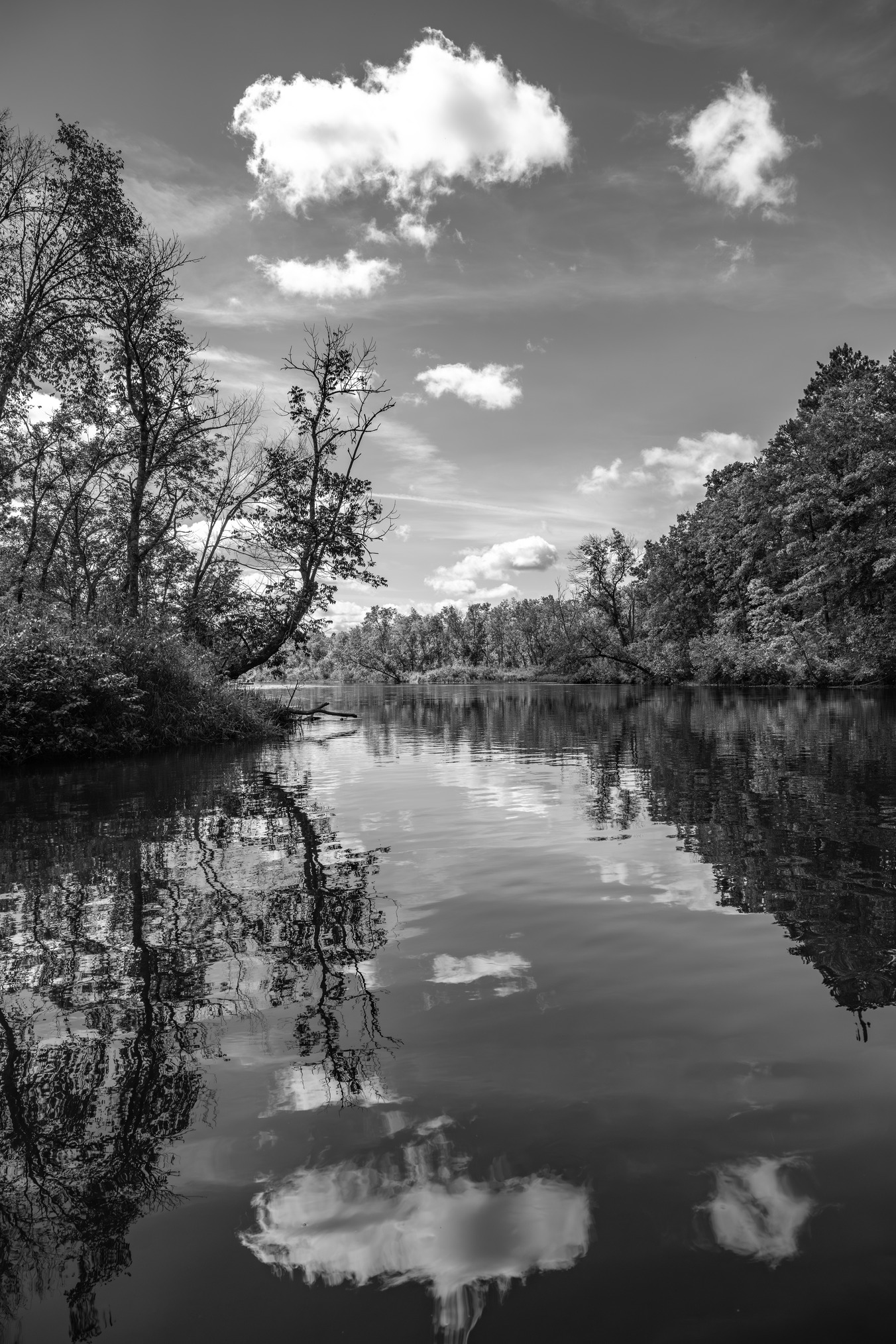
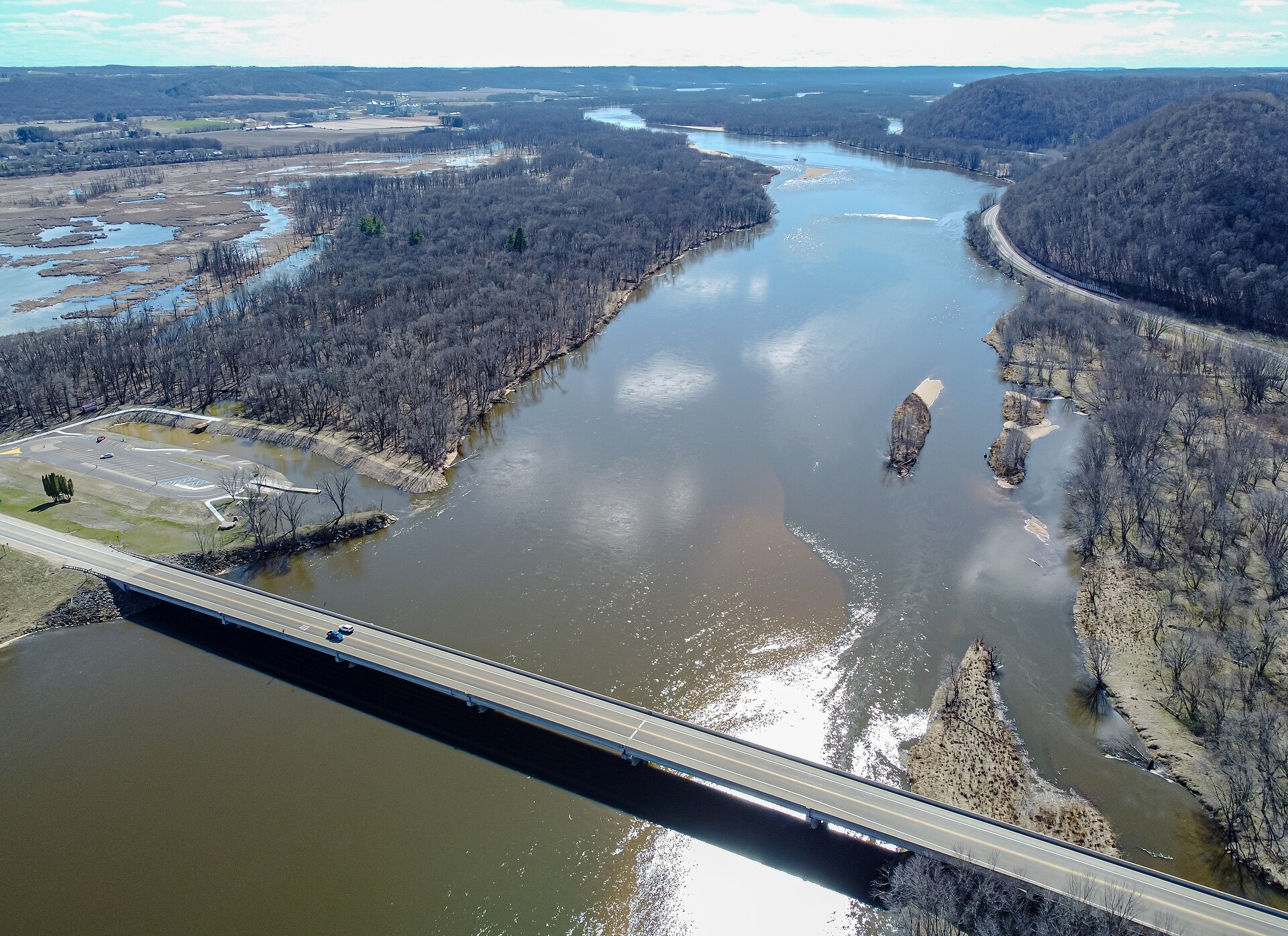
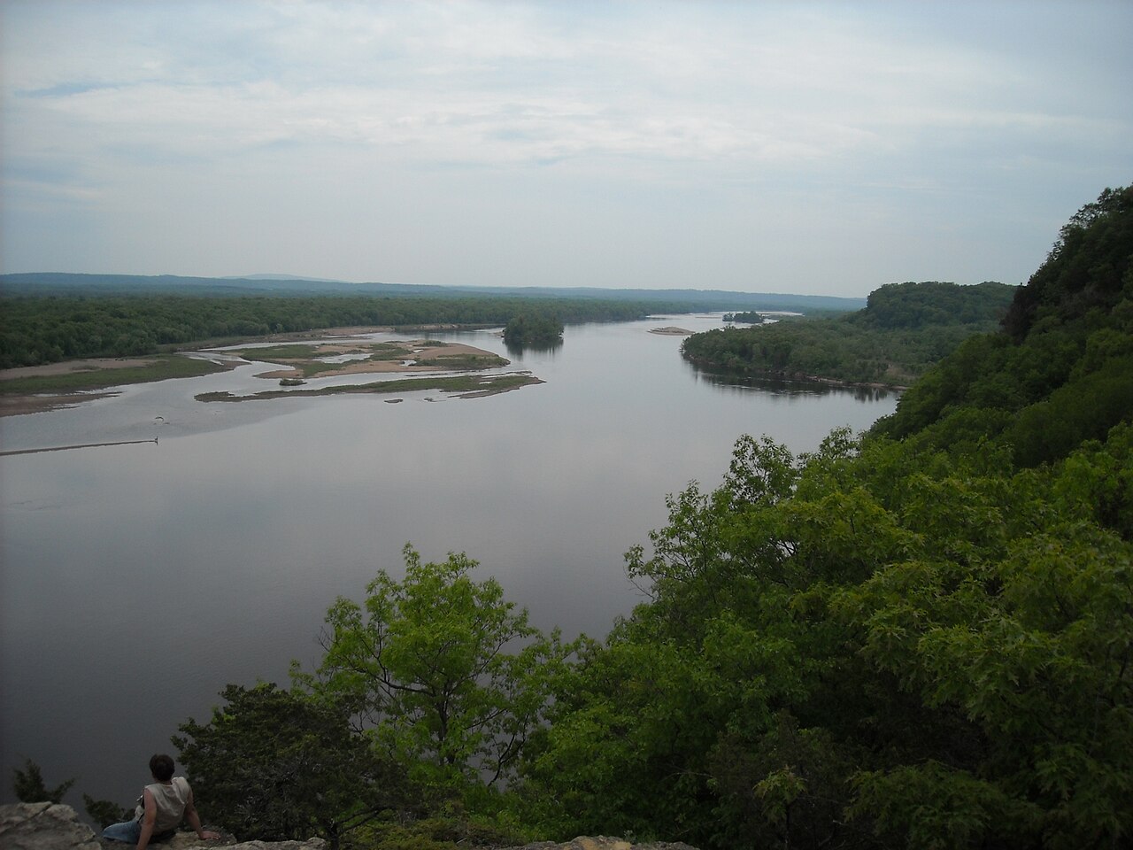
State routes

Wisconsin Rivers

Compare 65 tracked Wisconsin paddle routes with route links, water-level context, difficulty, and access planning details.

Paddle Today only lists routes when the gauge, threshold, and source support are defensible enough for live route scoring.

65 routes 33 rivers 15 regions 20 beginner routes

Showing route starts. Interactive map loading.

Where Paddle Today tracks Wisconsin

Use the map to scan route density, then start with beginner routes, planning routes, or the full directory below.

65 route markers 12 multi-route rivers 20 beginner routes
E Easy M Moderate D Difficult

Best Wisconsin routes today

Loading current scores, gauge reads, and weather signals.

-- Live
Northwest Wisconsin

Namekagon River

Big Bend Landing to Trego Town Park

Easy | 7.7 mi | About 2 hr 30 min to 3 hr 30 min
View route
-- Live
Lower Wisconsin Riverway

Wisconsin River

Arena Landing to Peck’s Landing / Spring Green

Easy | 10 mi | About 3 hr to 4 hr, longer with sandbar stops
View route
-- Live
Lower Wisconsin Riverway

Wisconsin River

Blue River Landing to Boscobel Landing

Easy | 10 mi | About 3 hr to 4 hr, longer with sandbar stops
View route
-- Live
Lower Wisconsin Riverway

Wisconsin River

Gotham / Buena Vista Landing to Muscoda Landing West

Easy | 7.9 mi | About 3 hr to 4 hr, longer with sandbar stops
View route

This panel hydrates from live Paddle Today scores. The route links above remain useful when JavaScript or the score API is unavailable.

Good starting points in Wisconsin

Ranked from route metadata, source support, difficulty, and logistics.

Trees on both sides of a river reach skyward towards bright puffy clouds on an idyllic day. A strong horizontal line divides the image at the center, over which the upper portion is reflected like mirror on calm water below.
Wisconsin route Northwest Wisconsin Namekagon River Big Bend Landing to Trego Town Park Put in at Big Bend Landing and take out at Trego Town Park Landing. Expect a mellow wooded first half, a prettier busier stretch past Earl Park, and a s...

Route facts

Easy | 7.7 mi | About 2 hr 30 min to 3 hr 30 min official source support
Placeholder river image for Wisconsin River - Arena Landing to Peck’s Landing / Spring Green.
Wisconsin route Lower Wisconsin Riverway Wisconsin River Arena Landing to Peck’s Landing / Spring Green Put in at Arena and take out at Peck’s Landing near Spring Green. This is a popular Lower Wisconsin sandbar day route with easy current, broad channels,...

Route facts

Easy | 10 mi | About 3 hr to 4 hr, longer with sandbar stops mixed source support
The Wisconsin River flows north of Boscobel with the U.S. 61 bridge crossing the channel.
Wisconsin route Lower Wisconsin Riverway Wisconsin River Blue River Landing to Boscobel Landing Put in at Blue River Landing and finish at Boscobel. This is an easy Lower Wisconsin day through islands, sandbars, and bluff country when the Muscoda g...

Route facts

Easy | 10 mi | About 3 hr to 4 hr, longer with sandbar stops mixed source support
Placeholder river image for Wisconsin River - Gotham / Buena Vista Landing to Muscoda Landing West.
Wisconsin route Lower Wisconsin Riverway Wisconsin River Gotham / Buena Vista Landing to Muscoda Landing West Launch at Gotham / Buena Vista Boat Landing near the Pine River mouth and finish at Muscoda Landing West just downstream of the Highway 80 bridge. This...

Route facts

Easy | 7.9 mi | About 3 hr to 4 hr, longer with sandbar stops mixed source support
Canoes and paddlers reach Muscoda on the Wisconsin River during a 1973 historical river trip.
Wisconsin route Lower Wisconsin Riverway Wisconsin River Muscoda to Blue River Landing Launch at the Muscoda/Riverside Park corridor and take out at Blue River Landing. This is a short easy Lower Wisconsin day with sandbars and island chan...

Route facts

Easy | 8 mi | About 2 hr to 3 hr, longer with sandbar stops mixed source support
The Wisconsin River winds through a wide sandy valley below Ferry Bluff near Sauk City.
Wisconsin route Lower Wisconsin Riverway Wisconsin River Sauk City to Arena Landing Launch from the Sauk City/Sauk Prairie landing corridor and take out at Arena Landing. This is one of the classic upper Lower Wisconsin day trips, with...

Route facts

Easy | 11 mi | About 3.5 hr to 4.5 hr, longer with sandbar stops mixed source support

Wisconsin beginner routes

These routes are tagged easy in the route data. Today's water can still change the call.

Showing 8 of 20 beginner routes. Use the Easy difficulty filter below to see the full set.

Routes with practical logistics

Use the live weekend board for score-based recommendations.

Rivers and regions

Compact directory links for crawlers and planners.

By river

Wisconsin River 12
Bois Brule River 4
Milwaukee River 4
Sugar River 4
Wolf River 4
Baraboo River 3
Peshtigo River 3
Bark River 2
Flambeau River 2
Kickapoo River 2
Pike River 2
Red Cedar River 2
Badfish Creek 1
Beaver Dam River 1
Big Eau Pleine River 1
Black River 1
Brule River 1
Chippewa River 1
Eau Claire River 1
Jump River 1
Kinnickinnic River 1
La Crosse River 1
Menominee River 1
Menomonee River 1
Namekagon River 1
Pecatonica River 1
Pine River 1
Popple River 1
Red River 1
St. Croix River 1
Turtle Creek 1
Waupaca River 1
White River 1

By region

Central Wisconsin 4
Driftless Wisconsin 4
Lake Country 1
Lower Wisconsin Riverway 9
Northeast Wisconsin 10
Northern Wisconsin 1
Northwest Wisconsin 9
Northwoods Wisconsin 6
South Central Wisconsin 1
South-Central Wisconsin 9
Southeast Wisconsin 5
Southern Wisconsin 2
Southwest Wisconsin 1
West-Central Wisconsin 1
Western Wisconsin 2

Every Wisconsin route on Paddle Today

65 server-rendered route links.

Showing all 65 routes.

Badfish Creek Old Stage Road to North Casey Road Southern Wisconsin | Moderate Baraboo River Glenville Landing to Luebke Landing South-Central Wisconsin | Easy Baraboo River Haskins Park to Glenville Landing South-Central Wisconsin | Moderate Baraboo River Wayside Park to Kalepp Road Driftless Wisconsin | Moderate Bark River Highway 164 to Merton Millpond Lake Country | Moderate Bark River Prince's Point to Burnt Village Park Southern Wisconsin | Easy Beaver Dam River Cotton Mill Park to County Road J South Central Wisconsin | Moderate Big Eau Pleine River Cherokee Park to March Rapids Park Central Wisconsin | Moderate Black River Melrose Landing to North Bend Landing Southwest Wisconsin | Easy Bois Brule River Bois Brule Landing to Pine Tree Landing Northwest Wisconsin | Moderate Bois Brule River Highway 13 Canoe Landing to Mouth Access Northwest Wisconsin | Moderate Bois Brule River Pine Tree Landing to Highway 13 Canoe Landing Northwest Wisconsin | Moderate Bois Brule River Stone's Bridge Landing to Winneboujou Landing Northwest Wisconsin | Moderate Brule River Highway 139/189 Bridge Landing to Forest Road 2150 Landing Northeast Wisconsin | Moderate Chippewa River County A Bridge to Highway 8 Landing Northwest Wisconsin | Easy Eau Claire River Bear Lake Road Bridge Landing to County N Bridge Landing Central Wisconsin | Hard Flambeau River County Highway W to Hervas Camp Landing Northwoods Wisconsin | Moderate Flambeau River Hervas Camp Landing to Beaver Dam Landing Northwoods Wisconsin | Moderate Jump River Wayside Park / Highway 73 to Haley Park Northwest Wisconsin | Moderate Kickapoo River Ontario to Rockton Driftless Wisconsin | Moderate Kickapoo River Rockton Landing to La Farge Landing Driftless Wisconsin | Moderate Kinnickinnic River Glen Park to Kinnickinnic State Park Western Wisconsin | Hard La Crosse River Veterans Memorial County Park to Holiday Heights Park Western Wisconsin | Easy Menominee River Mill Street Landing to Piers Gorge Road Landing Northeast Wisconsin | Hard Menomonee River Hoyt Park to Bluemound Road access Southeast Wisconsin | Hard Milwaukee River Fireman's Park to Waubedonia Park Southeast Wisconsin | Easy Milwaukee River Lime Kiln Park to Village Park Southeast Wisconsin | Moderate Milwaukee River Washington Street Dam to Quaas Creek Park Southeast Wisconsin | Moderate Milwaukee River Waubedonia Park to Veterans Memorial Park Southeast Wisconsin | Easy Namekagon River Big Bend Landing to Trego Town Park Northwest Wisconsin | Easy Pecatonica River Black Bridge Landing to Wells Landing Driftless Wisconsin | Moderate Peshtigo River CCC Bridge to Burnt Bridge Landing Northeast Wisconsin | Moderate Peshtigo River Farm Dam Landing to WPS Landing #12 Northeast Wisconsin | Hard Peshtigo River Goodman Park Access to Farm Dam Public Landing Northeast Wisconsin | Moderate Pike River Amberg Highway 141 Landing to Yellow Bridge Landing Northeast Wisconsin | Moderate Pike River Yellow Bridge Landing to Grogan Road Landing Northeast Wisconsin | Hard Pine River County N Bridge Landing to WEPCO Landing #5 Northeast Wisconsin | Easy Popple River Morgan Lake Road Bridge to Highway 101 Wayside Northeast Wisconsin | Hard Red Cedar River Menomonie to Dunnville West-Central Wisconsin | Easy Red Cedar River Tom Prince Memorial Park to Russian Slough County Park Northwest Wisconsin | Moderate Red River Weed Dam Powerhouse Landing to Zeimer's Falls Landing Northeast Wisconsin | Hard St. Croix River Fox Landing to Highway 70 Northwest Wisconsin | Moderate Sugar River Belleville Community Park to County Road X South-Central Wisconsin | Easy Sugar River County Road X to County Road EE South-Central Wisconsin | Easy Sugar River Highway 69 to Paoli South-Central Wisconsin | Moderate Sugar River Highway X to Attica Highway C Access South-Central Wisconsin | Easy Turtle Creek East Creek Road to Highway 140 South-Central Wisconsin | Easy Waupaca River County Highway Q to Brainard's Bridge Park Central Wisconsin | Moderate White River Maple Ridge Road to Highway 112 Dam Northern Wisconsin | Moderate Wisconsin River Arena Landing to Peck’s Landing / Spring Green Lower Wisconsin Riverway | Easy Wisconsin River Blue River Landing to Boscobel Landing Lower Wisconsin Riverway | Easy Wisconsin River Boscobel Landing to Bridgeport Landing Lower Wisconsin Riverway | Moderate Wisconsin River Dekorra Park to Camp Rest Park South-Central Wisconsin | Moderate Wisconsin River Gotham / Buena Vista Landing to Muscoda Landing West Lower Wisconsin Riverway | Easy Wisconsin River Highway 33 Portage to Dekorra Park South-Central Wisconsin | Easy Wisconsin River Millville Boat Landing to Wyalusing Beach Lower Wisconsin Riverway | Moderate Wisconsin River Muscoda Landing West to Woodman Landing Lower Wisconsin Riverway | Moderate Wisconsin River Muscoda to Blue River Landing Lower Wisconsin Riverway | Easy Wisconsin River Peck’s Landing / Spring Green to Muscoda Lower Wisconsin Riverway | Moderate Wisconsin River Sauk City to Arena Landing Lower Wisconsin Riverway | Easy Wisconsin River Veterans Memorial Park to Nepco Creek / County Z Central Wisconsin | Moderate Wolf River Highway 64 DNR Landing to Markton County M Landing Northwoods Wisconsin | Moderate Wolf River Hwy 52 to West Hollister Road Northwoods Wisconsin | Moderate Wolf River Markton County M Landing to Big Smokey Falls Landing Northwoods Wisconsin | Hard Wolf River West Hollister Road to Highway 64 DNR Landing Northwoods Wisconsin | Moderate

Wisconsin paddling FAQ

How does Paddle Today choose Wisconsin paddle routes?

Paddle Today lists Wisconsin routes when the route has enough defensible gauge, threshold, source, and logistics support to make a live route score useful. The current Wisconsin page includes 65 tracked routes across 33 rivers.

Are these Wisconsin river conditions live?

The route links on this page are server-rendered and crawlable. Each route page then checks live gauge readings, weather, water-level context, and route score data before you make a same-day call.

Can I request another Wisconsin route?

Yes. Use the request form to send the river, reach, access points, and any source links. Paddle Today prioritizes routes where a public gauge or defensible threshold support can back the live score.