Wisconsin | Northwest Wisconsin
Namekagon River
Big Bend Landing to Trego Town Park
Check current paddling conditions for this Namekagon River route, including water level, recent gauge trend, weather, and route details.
Route snapshot
Loading the route snapshot. This usually takes a few seconds.
Today
Get the answer fast, then scan the route.
Start with the verdict, current conditions, route plan, and quick facts before you commit to the drive.
Today's conditions
Gauge
Recent trend
Checking preferred range.
Checking trend.
Gauge source
-- Checking timestampMN DNR provides the current paddling level here, but not chart-ready recent samples.
Weather
Best window today
Checking weather.
Today by hour
Short-route forecast
Checking the next several hours.
Quick facts
Plan
Dial in the shuttle, distance, and access.
Use this section once the route looks viable and you need to turn it into an actual trip plan.
Access plan
Access, shuttle, and map
Put in at Big Bend Landing and take out at Trego Town Park Landing. Expect a mellow wooded first half, a prettier busier stretch past Earl Park, and a slower braided finish toward Trego that gets scratchier first when the river is low.
Put-in
Big Bend Landing Open mapDo not confuse the Trego Town Park finish with the permanently closed Lakeside Road picnic area and parking lot called out on the NPS maps page.
Take-out
Trego Town Park Landing Open mapTrego Town Park is part of an active campground corridor, so summer parking and launch space can feel busier than a quiet roadside landing.
Pulling access map tiles. Usually under 5 seconds.
Access caveats
- Do not confuse the Trego Town Park finish with the permanently closed Lakeside Road picnic area and parking lot called out on the NPS maps page.
- Trego Town Park is part of an active campground corridor, so summer parking and launch space can feel busier than a quiet roadside landing.
- This route is beginner-friendly by Riverway standards, but the take-out still deserves a same-day look if your group has not used the Trego landing before.
Watch for
- Occasional rock gardens and one quicker stretch near Highway 63.
- Scraping or channel-picking around the islands below Highway 63 in lower water.
- Tubing traffic and landing congestion around Earl Park and Trego on hot summer weekends.
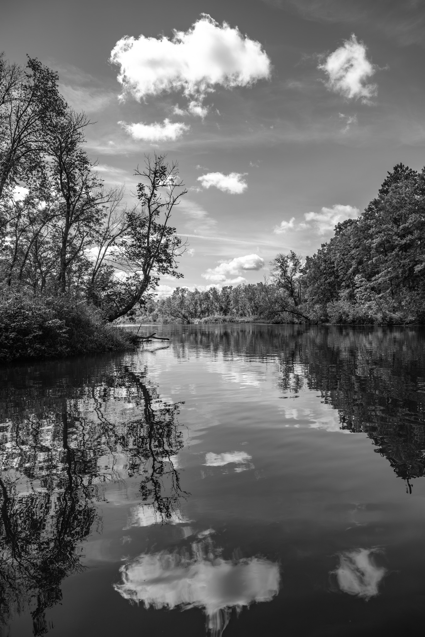
Route gallery
See this route on the water
Photos help show what the access looks like and what the route actually feels like on the water.
Sources
Check the data behind today's call.
Use this section when the page shows stale data, limited confidence, or a call you want to verify before driving.
Why this score Today's data confidence is checking
Data confidence mostly comes down to three things: how direct the gauge is, how clear the range is, and how fresh the data is.
- Checking data confidence notes.
- Checking data confidence cautions.
Outlook Tomorrow and weekend
This is a cautious early look. If the data is too thin, we leave it out.
Waiting on forecast.
Waiting on forecast.
Data behind the score Gauge, thresholds, and timing
These are the live readings and threshold notes behind today's score.
| Gauge site | Namekagon River at Leonards, WI |
| Discharge | Checking |
| Gauge height | Checking |
| 24h trend | Checking |
| 24h change | Checking |
| Current band | Checking |
| Rain last 24h | Checking |
| Rain last 72h | Checking |
| Air temp | Checking |
| Water temp | Checking |
| Wind | Checking |
| Gusts | Checking |
| Rain timing | Checking |
| Ideal range | Needs paddler reports |
| Known low-water floor | 150 cfs |
| High threshold | Not calibrated yet |
| Data confidence behind the range | Official data source |
| Gauge observed | Checking |
| Paddle Today updated | Checking |
| Main source behind this score | NPS Namekagon current-conditions normal level at Leonards |
| Gauge source | Checking |
| Weather source | Checking |
| Rainfall source | Checking |
Notes What to know before you go
These notes cover the access details, route quirks, and source caveats most likely to matter once you get there.
- Official trip detail 7.7 miles; 2 to 4 hours
NPS lists Big Bend to Trego as an easy middle-Namekagon trip with occasional riffles and rock gardens.
- Official level context 150 to 230 cfs normal; 650+ cfs high
The NPS current-conditions dataset uses the Leonards gauge as the Namekagon river-level reference and publishes 150 to 230 cfs as Normal Level with High Level above 650 cfs.
- Route character Easy with occasional rock gardens
NPS says the first half is lazy and sandy, the stretch near Earl Park is more scenic and popular, and quicker current appears as the river approaches Highway 63 in Trego.
- Low-water caution Scraping possible near the islands below Highway 63
NPS says this stretch is generally floatable throughout the season, but low-rainfall periods can require scraping or walking, especially after Highway 63 near the islands.
- Access quality NPS landings and town-park finish
NPS Section Map 2 names Big Bend Landing and Trego Town Park Landing, and the Town of Trego confirms its campground sits on the Namekagon River at the take-out area.
- Useful amenities 4 campsites; potable water at Earl Park Landing
NPS lists four campsites on this trip, including group-site support and potable water at Earl Park Landing.
Verify it yourself Check the source links
Use these links to double-check the gauge, route details, and access notes before you head out.
Paddler reports
Recent notes from paddlers
A few quick notes from people who were on this route recently.
Reports
Photos, paddler notes, and updates.
See what others have shared, then add a condition report, upload photos, or flag anything that needs fixing.
Share your trip
Keep exploring
More routes to check next
Compare another stretch on this river, or jump to nearby options before you pick a plan.
More in Wisconsin
All 65 routesNearby routes by distance
Quick answers
Namekagon River paddling FAQ
What water level is good for paddling Namekagon River?
Paddle Today watches Namekagon River at Leonards, WI and uses 150 cfs as the conservative low-water floor for this route. The ideal range still needs more paddler reports.
Where does this Namekagon River route start and end?
This route starts at Big Bend Landing and ends at Trego Town Park Landing, about 7.7 mi on the water.
Is this Namekagon River route good for beginners?
This is listed as an easy route, but conditions still matter. Check today's score, water level, weather, and access notes before you go.
Flag a change
See something outdated?
Access, hazards, wood, and shuttle details change. Send a quick correction if something looks off.