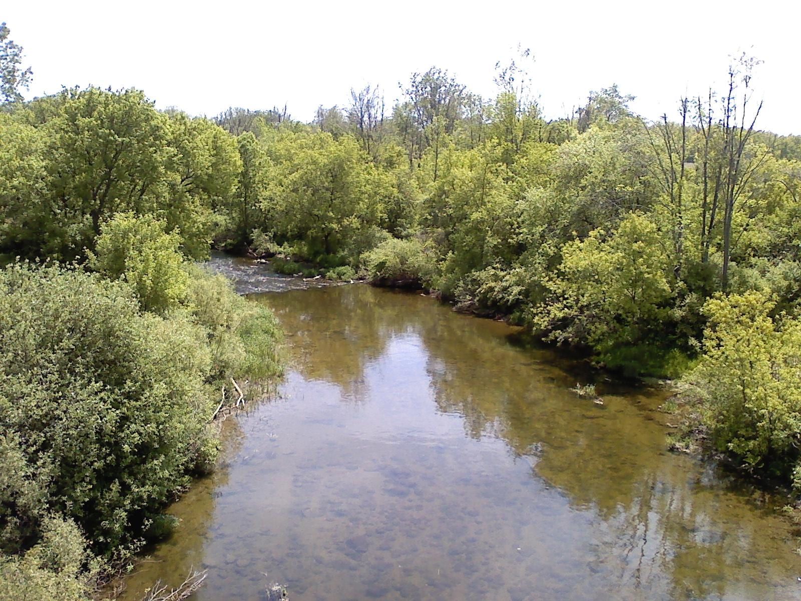
State routes

Michigan Rivers

Compare 19 tracked Michigan paddle routes with route links, water-level context, difficulty, and access planning details.

Paddle Today only lists routes when the gauge, threshold, and source support are defensible enough for live route scoring.

19 routes 4 rivers 3 regions 4 beginner routes

Showing route starts. Interactive map loading.

Where Paddle Today tracks Michigan

Use the map to scan route density, then start with beginner routes, planning routes, or the full directory below.

19 route markers 3 multi-route rivers 4 beginner routes
E Easy M Moderate D Difficult

Best Michigan routes today

Loading current scores, gauge reads, and weather signals.

-- Live
Southeast Michigan

Clinton River

Budd Park to Shadyside Park

Easy | About 4.4 mi | About 2 hr, longer with low water, wood, or scouting
View route
-- Live
Southeast Michigan

Clinton River

Shadyside Park to MacArthur Park

Easy | About 2.0 mi | About 45 min to 1 hr, longer with low water, wood, or scouting
View route
-- Live
Southeast Michigan

Clinton River

Downtown Utica to North Clinton River Park

Moderate | About 2.2 mi | Short trip, roughly 1 hr to 1.5 hr depending on level and wood
View route
-- Live
Southeast Michigan

Clinton River

MacArthur Park to Harley Ensign

Moderate | About 7.2 mi | About 2.5 hr to 3.5 hr, longer with wind, current, or motorboat traffic
View route

This panel hydrates from live Paddle Today scores. The route links above remain useful when JavaScript or the score API is unavailable.

Good starting points in Michigan

Ranked from route metadata, source support, difficulty, and logistics.

The Clinton River flows past wooded banks in Macomb County, Michigan.
Michigan route Southeast Michigan Clinton River Budd Park to Shadyside Park Launch at Budd Park and take out at Shadyside Park for CRWC's slow/beginner lower Clinton River route into Mount Clemens. Use the Sterling Heights USGS...

Route facts

Easy | About 4.4 mi | About 2 hr, longer with low water, wood, or scouting official source support
The Clinton River flows past wooded banks in Macomb County, Michigan.
Michigan route Southeast Michigan Clinton River Shadyside Park to MacArthur Park Launch at Shadyside Park and take out at the Neil Dempsey launch in MacArthur Park for a short Mount Clemens lower Clinton River link. Use the Sterling...

Route facts

Easy | About 2.0 mi | About 45 min to 1 hr, longer with low water, wood, or scouting official source support
Placeholder river image for Clinton River - Downtown Utica to North Clinton River Park.
Michigan route Southeast Michigan Clinton River Downtown Utica to North Clinton River Park Launch at Downtown Utica and take out at North Clinton River Park for the short upstream link into the Sterling Heights Clinton River Water Trail. Use t...

Route facts

Moderate | About 2.2 mi | Short trip, roughly 1 hr to 1.5 hr depending on level and wood official source support
The Clinton River flows past wooded banks in Macomb County, Michigan.
Michigan route Southeast Michigan Clinton River MacArthur Park to Harley Ensign Launch at the Neil Dempsey launch in MacArthur Park and follow the lower Clinton River to Harley Ensign at the Lake St. Clair end of the water trail. Us...

Route facts

Moderate | About 7.2 mi | About 2.5 hr to 3.5 hr, longer with wind, current, or motorboat traffic official source support
Placeholder river image for Clinton River - North Clinton River Park to Rotary Park.
Michigan route Southeast Michigan Clinton River North Clinton River Park to Rotary Park Launch at North Clinton River Park and take out at Rotary Park for the Sterling Heights Clinton River Water Trail run. Use the Sterling Heights USGS sta...

Route facts

Moderate | About 6.0 mi | About 2 hr to 3 hr, longer with low water, wood, or scouting official source support
The Clinton River flows past wooded banks in Macomb County, Michigan.
Michigan route Southeast Michigan Clinton River Rotary Park to Budd Park Launch at Rotary Park and take out at Budd Park for a short lower Clinton River connector. Use the Sterling Heights USGS stage as a warning check, then...

Route facts

Moderate | 3.6 mi | About 1.5 hr to 2 hr, longer with low water, wood, or scouting official source support

Michigan beginner routes

These routes are tagged easy in the route data. Today's water can still change the call.

Routes with practical logistics

Use the live weekend board for score-based recommendations.

Rivers and regions

Compact directory links for crawlers and planners.

By river

By region

Every Michigan route on Paddle Today

19 server-rendered route links.

Showing all 19 routes.

Clinton River Budd Park to Shadyside Park Southeast Michigan | Easy Clinton River Downtown Utica to North Clinton River Park Southeast Michigan | Moderate Clinton River MacArthur Park to Harley Ensign Southeast Michigan | Moderate Clinton River North Clinton River Park to Rotary Park Southeast Michigan | Moderate Clinton River Rotary Park to Budd Park Southeast Michigan | Moderate Clinton River Shadyside Park to MacArthur Park Southeast Michigan | Easy Huron River Argo Park Canoe Livery to Gallup Park Livery Southeast Michigan | Moderate Pine River Edgetts to Lincoln Bridge Northern Lower Michigan | Moderate Pine River Lincoln Bridge to Peterson Bridge Northern Lower Michigan | Moderate Pine River Peterson Bridge to Low Bridge Northern Lower Michigan | Moderate Shiawassee River Byron High School Ball Fields to Walnut Hills Family Campground Central Michigan | Easy Shiawassee River Ditch Road to Cole Park Central Michigan | Moderate Shiawassee River Geeck Road County Park to Shiatown County Park Central Michigan | Moderate Shiawassee River Harmon Patridge Park to Henderson County Park Central Michigan | Moderate Shiawassee River Henderson County Park to Ditch Road Central Michigan | Moderate Shiawassee River Lytle Road County Park to Brady Street Landing Central Michigan | Moderate Shiawassee River McCurdy Park to Harmon Patridge Park Central Michigan | Moderate Shiawassee River Shiatown County Park to Lytle Road County Park Central Michigan | Moderate Shiawassee River Walnut Hills Family Campground to Geeck Road County Park Central Michigan | Easy

Michigan paddling FAQ

How does Paddle Today choose Michigan paddle routes?

Paddle Today lists Michigan routes when the route has enough defensible gauge, threshold, source, and logistics support to make a live route score useful. The current Michigan page includes 19 tracked routes across 4 rivers.

Are these Michigan river conditions live?

The route links on this page are server-rendered and crawlable. Each route page then checks live gauge readings, weather, water-level context, and route score data before you make a same-day call.

Can I request another Michigan route?

Yes. Use the request form to send the river, reach, access points, and any source links. Paddle Today prioritizes routes where a public gauge or defensible threshold support can back the live score.