See all 9 routes on Shiawassee River
Michigan | Central Michigan
Shiawassee River
Byron High School Ball Fields to Walnut Hills Family Campground
Check current paddling conditions for this Shiawassee River route, including water level, recent gauge trend, weather, and route details.
Route snapshot
Loading the route snapshot. This usually takes a few seconds.
Today
Get the answer fast, then scan the route.
Start with the verdict, current conditions, route plan, and quick facts before you commit to the drive.
Today's conditions
Gauge
Recent trend
Checking preferred range.
Checking trend.
Gauge source
-- Checking timestampMN DNR provides the current paddling level here, but not chart-ready recent samples.
Weather
Best window today
Checking weather.
Today by hour
Short-route forecast
Checking the next several hours.
Quick facts
Plan
Dial in the shuttle, distance, and access.
Use this section once the route looks viable and you need to turn it into an actual trip plan.
Access plan
Access, shuttle, and map
Launch from the concrete launch by Byron High School Ball Fields and take out at the Walnut Hills Family Campground dirt launch for a 4.87-mile Shiawassee River Water Trail segment. Use the Owosso USGS gauge only as a conservative low-water corridor check, then verify Walnut Hills access and same-day shallows before launching.
Put-in
Byron High School Ball Fields concrete launch Open mapThe route sheet identifies the Byron launch as a concrete launch by the High School ball fields, with nearby Byron services.
Take-out
Walnut Hills Family Campground dirt launch Open mapWalnut Hills Family Campground is private seasonal access open May 1 through October 1 in the route sheet, with parking for a small fee.
Pulling access map tiles. Usually under 5 seconds.
Access caveats
- The route sheet identifies the Byron launch as a concrete launch by the High School ball fields, with nearby Byron services.
- Walnut Hills Family Campground is private seasonal access open May 1 through October 1 in the route sheet, with parking for a small fee.
- Respect houses, private property, and shoreline along this rural residential reach, and stop only at designated launches or landings.
Watch for
- Low-water scraping and slow travel when the Owosso gauge trends toward 2.0 ft or below.
- Debris in the water, rural residential shoreline, and private-property constraints.
- Sand-and-silt bottom through most of the reach, with deeper water reported after the New Lothrop bridge under average conditions.
- The Owosso gauge is a downstream corridor proxy for this Byron segment, so use it as a low-water check rather than a precise launch guarantee.
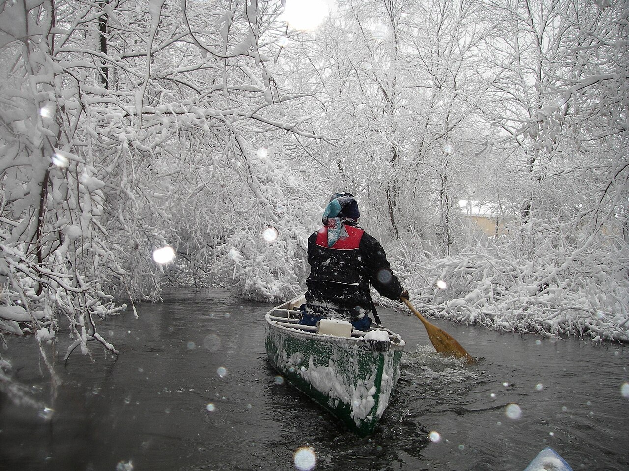
Route gallery
See this route on the water
Photos help show what the access looks like and what the route actually feels like on the water.
Sources
Check the data behind today's call.
Use this section when the page shows stale data, limited confidence, or a call you want to verify before driving.
Why this score Today's data confidence is checking
Data confidence mostly comes down to three things: how direct the gauge is, how clear the range is, and how fresh the data is.
- Checking data confidence notes.
- Checking data confidence cautions.
Outlook Tomorrow and weekend
This is a cautious early look. If the data is too thin, we leave it out.
Waiting on forecast.
Waiting on forecast.
Data behind the score Gauge, thresholds, and timing
These are the live readings and threshold notes behind today's score.
| Gauge site | Shiawassee River at Owosso, MI |
| Gauge height | Checking |
| Discharge | Checking |
| 24h trend | Checking |
| 24h change | Checking |
| Current band | Checking |
| Rain last 24h | Checking |
| Rain last 72h | Checking |
| Air temp | Checking |
| Water temp | Checking |
| Wind | Checking |
| Gusts | Checking |
| Rain timing | Checking |
| Ideal range | Needs paddler reports |
| Known low-water floor | 2.00 ft |
| High threshold | Not calibrated yet |
| Data confidence behind the range | Official and local sources |
| Gauge observed | Checking |
| Paddle Today updated | Checking |
| Main source behind this score | Friends of the Shiawassee River / Shiawassee County Byron-to-Chesaning gauge guidance |
| Gauge source | Checking |
| Weather source | Checking |
| Rainfall source | Checking |
Notes What to know before you go
These notes cover the access details, route quirks, and source caveats most likely to matter once you get there.
- Route map 4.87 river miles
The Shiawassee River Water Trail Coalition publishes Byron High School Ball Fields to Walnut Hills Family Campground as a 4.87-mile beginner trip with endpoint coordinates and service notes.
- Endpoint coordinates 42.840348, -83.945658 to 42.840348, -84.009418
The route PDF gives Byron High School Ball Fields as the start and Walnut Hills Family Campground as the end, with latitude/longitude for both points.
- Gauge corridor Byron to Chesaning
The Friends/Shiawassee County guide says the Owosso gauge is fairly reflective from Byron to Chesaning and that readings at 2.0 ft or lower may be too shallow in some segments.
- Access and character Concrete launch to private campground
The route begins at a concrete launch by the Byron High School ball fields, passes rural residential and forested shoreline, and ends at the Walnut Hills dirt launch on river right.
- Walnut Hills access Private seasonal access
The route sheet says Walnut Hills Family Campground is open May 1 through October 1, with parking available for a small fee.
Verify it yourself Check the source links
Use these links to double-check the gauge, route details, and access notes before you head out.
Paddler reports
Recent notes from paddlers
A few quick notes from people who were on this route recently.
Reports
Photos, paddler notes, and updates.
See what others have shared, then add a condition report, upload photos, or flag anything that needs fixing.
Share your trip
Keep exploring
More routes to check next
Compare another stretch on this river, or jump to nearby options before you pick a plan.
Quick answers
Shiawassee River paddling FAQ
What water level is good for paddling Shiawassee River?
Paddle Today watches Shiawassee River at Owosso, MI and uses 2.00 ft as the conservative low-water floor for this route. The ideal range still needs more paddler reports.
Where does this Shiawassee River route start and end?
This route starts at Byron High School Ball Fields concrete launch and ends at Walnut Hills Family Campground dirt launch, about 4.87 mi on the water.
Is this Shiawassee River route good for beginners?
This is listed as an easy route, but conditions still matter. Check today's score, water level, weather, and access notes before you go.
Flag a change
See something outdated?
Access, hazards, wood, and shuttle details change. Send a quick correction if something looks off.