See all 9 routes on Shiawassee River
Michigan | Central Michigan
Shiawassee River
Harmon Patridge Park to Henderson County Park
Check current paddling conditions for this Shiawassee River route, including water level, recent gauge trend, weather, and route details.
Route snapshot
Loading the route snapshot. This usually takes a few seconds.
Today
Get the answer fast, then scan the route.
Start with the verdict, current conditions, route plan, and quick facts before you commit to the drive.
Today's conditions
Gauge
Recent trend
Checking preferred range.
Checking trend.
Gauge source
-- Checking timestampMN DNR provides the current paddling level here, but not chart-ready recent samples.
Weather
Best window today
Checking weather.
Today by hour
Short-route forecast
Checking the next several hours.
Quick facts
Plan
Dial in the shuttle, distance, and access.
Use this section once the route looks viable and you need to turn it into an actual trip plan.
Access plan
Access, shuttle, and map
Launch at Harmon Patridge Park and take out at Henderson County Park for the 7.78-mile Shiawassee River Water Trail segment north of Owosso. Use the Owosso USGS gauge as a stage-based check for enough depth and bridge clearance.
Put-in
Harmon Patridge Park launch Open mapThe water-trail route sheet identifies Harmon Patridge Park as the start and Henderson County Park as the end, with parking and restroom/porta-john amenities noted for the route.
Take-out
Henderson County Park cement launch Open mapThe route sheet says the Henderson County Park launch is back in the woods and describes the take-out as a designated cement launch with seasonal restrooms, playground, and picnic area.
Pulling access map tiles. Usually under 5 seconds.
Access caveats
- The water-trail route sheet identifies Harmon Patridge Park as the start and Henderson County Park as the end, with parking and restroom/porta-john amenities noted for the route.
- The route sheet says the Henderson County Park launch is back in the woods and describes the take-out as a designated cement launch with seasonal restrooms, playground, and picnic area.
- Respect private property and stop only at designated launches or landings; the water-trail safety section calls this out explicitly.
Watch for
- Scraping, sand bars, large rocks, and harder riffle navigation when the Owosso gauge trends toward 2.5 ft or below.
- High water above 7 ft, faster current, strainers, and bridge-clearance problems.
- Two islands before Juddville Road, shallow rocky sections, late-summer aquatic vegetation, and changing depth in pools and riffles.
- Use good judgment in high water or flood conditions and scout unfamiliar obstructions before committing.
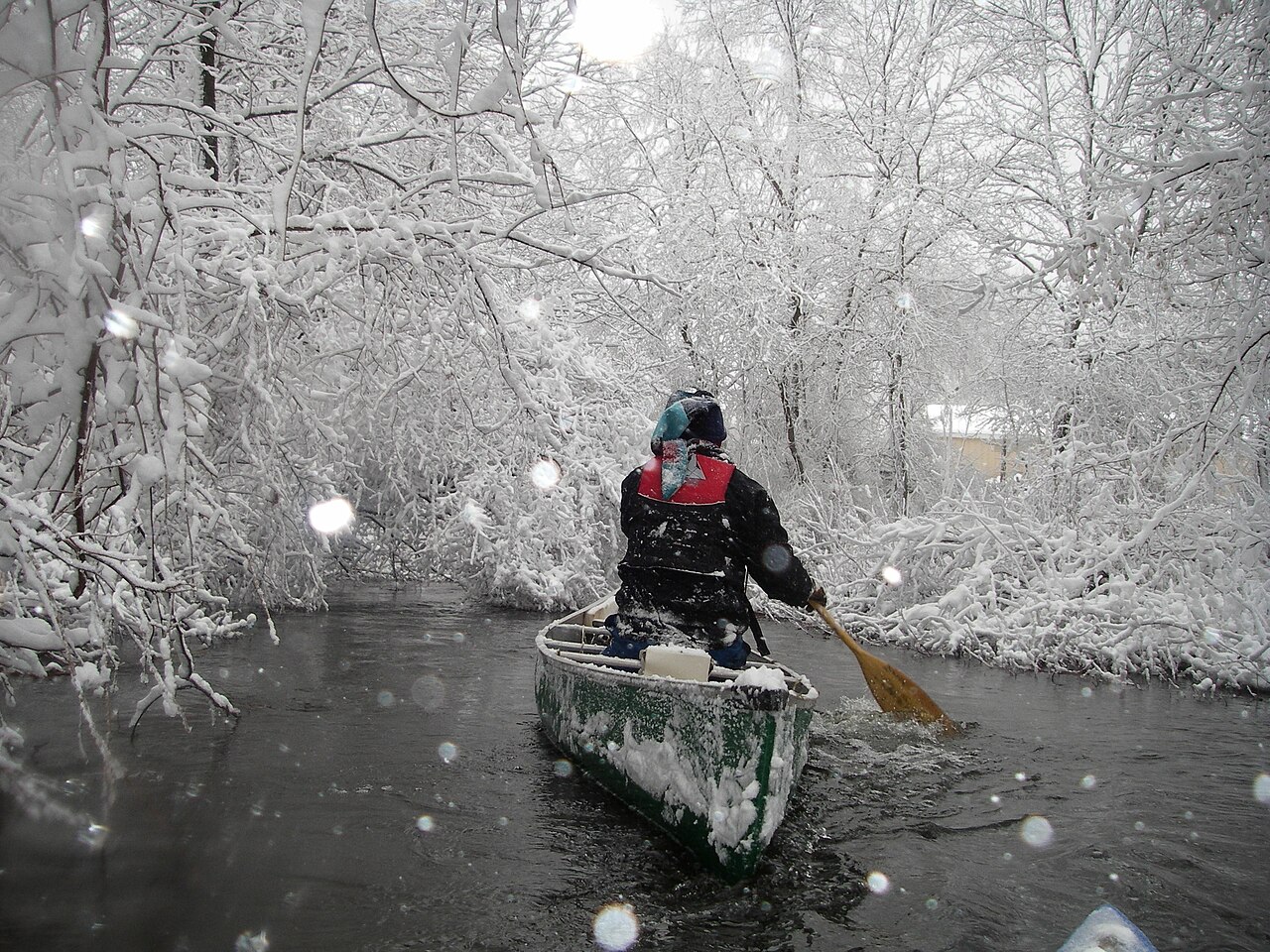
Route gallery
See this route on the water
Photos help show what the access looks like and what the route actually feels like on the water.
Sources
Check the data behind today's call.
Use this section when the page shows stale data, limited confidence, or a call you want to verify before driving.
Why this score Today's data confidence is checking
Data confidence mostly comes down to three things: how direct the gauge is, how clear the range is, and how fresh the data is.
- Checking data confidence notes.
- Checking data confidence cautions.
Outlook Tomorrow and weekend
This is a cautious early look. If the data is too thin, we leave it out.
Waiting on forecast.
Waiting on forecast.
Data behind the score Gauge, thresholds, and timing
These are the live readings and threshold notes behind today's score.
| Gauge site | Shiawassee River at Owosso, MI |
| Gauge height | Checking |
| Discharge | Checking |
| 24h trend | Checking |
| 24h change | Checking |
| Current band | Checking |
| Rain last 24h | Checking |
| Rain last 72h | Checking |
| Air temp | Checking |
| Water temp | Checking |
| Wind | Checking |
| Gusts | Checking |
| Rain timing | Checking |
| Target band | 2.50 ft to 7.00 ft |
| Low threshold | 2.00 ft |
| High threshold | 7.00 ft |
| Data confidence behind the range | Official data source |
| Gauge observed | Checking |
| Paddle Today updated | Checking |
| Main source behind this score | Shiawassee River Water Trail Coalition Owosso-gauge guidance |
| Gauge source | Checking |
| Weather source | Checking |
| Rainfall source | Checking |
Notes What to know before you go
These notes cover the access details, route quirks, and source caveats most likely to matter once you get there.
- Route map 7.78 river miles
The Shiawassee River Water Trail Coalition publishes Harmon Patridge Park to Henderson County Park as a 7.78-mile intermediate trip with endpoint coordinates and access amenities.
- Gauge guidance 2.5 to 7.0 ft at Owosso
The water-trail coalition says the Shiawassee from Owosso to Chesaning is most enjoyable when the Owosso gauge height is above 2.5 ft and below 7 ft; above 7 ft can be dangerous and make many bridges too low.
- Low-water floor 2.0 ft or lower may be too shallow
The coalition brochure says the Owosso gauge is fairly reflective from Byron to Chesaning and that readings at 2 ft or lower may be too shallow in some segments.
- Endpoint coordinates 43.020112, -84.184547 to 43.087788, -84.181933
The route PDF gives Harmon Patridge Park as the start and Henderson County Park as the end, with latitude/longitude for both points.
- Route character Riffles, rocks, sand bars, islands
The route sheet warns that paddlers may scrape in low water and must navigate sand bars, large rocks, riffles, and two islands before Henderson County Park.
Verify it yourself Check the source links
Use these links to double-check the gauge, route details, and access notes before you head out.
Paddler reports
Recent notes from paddlers
A few quick notes from people who were on this route recently.
Reports
Photos, paddler notes, and updates.
See what others have shared, then add a condition report, upload photos, or flag anything that needs fixing.
Share your trip
Keep exploring
More routes to check next
Compare another stretch on this river, or jump to nearby options before you pick a plan.
Quick answers
Shiawassee River paddling FAQ
What water level is good for paddling Shiawassee River?
Paddle Today watches Shiawassee River at Owosso, MI and treats 2.50 ft to 7.00 ft as the target band for this route, with weather and recent trend included in the final score.
Where does this Shiawassee River route start and end?
This route starts at Harmon Patridge Park launch and ends at Henderson County Park cement launch, about 7.78 mi on the water.
Is this Shiawassee River route good for beginners?
This is listed as a moderate route. Expect more planning than an easy float, and use the live score, route notes, and source links before committing.
Flag a change
See something outdated?
Access, hazards, wood, and shuttle details change. Send a quick correction if something looks off.