State routes
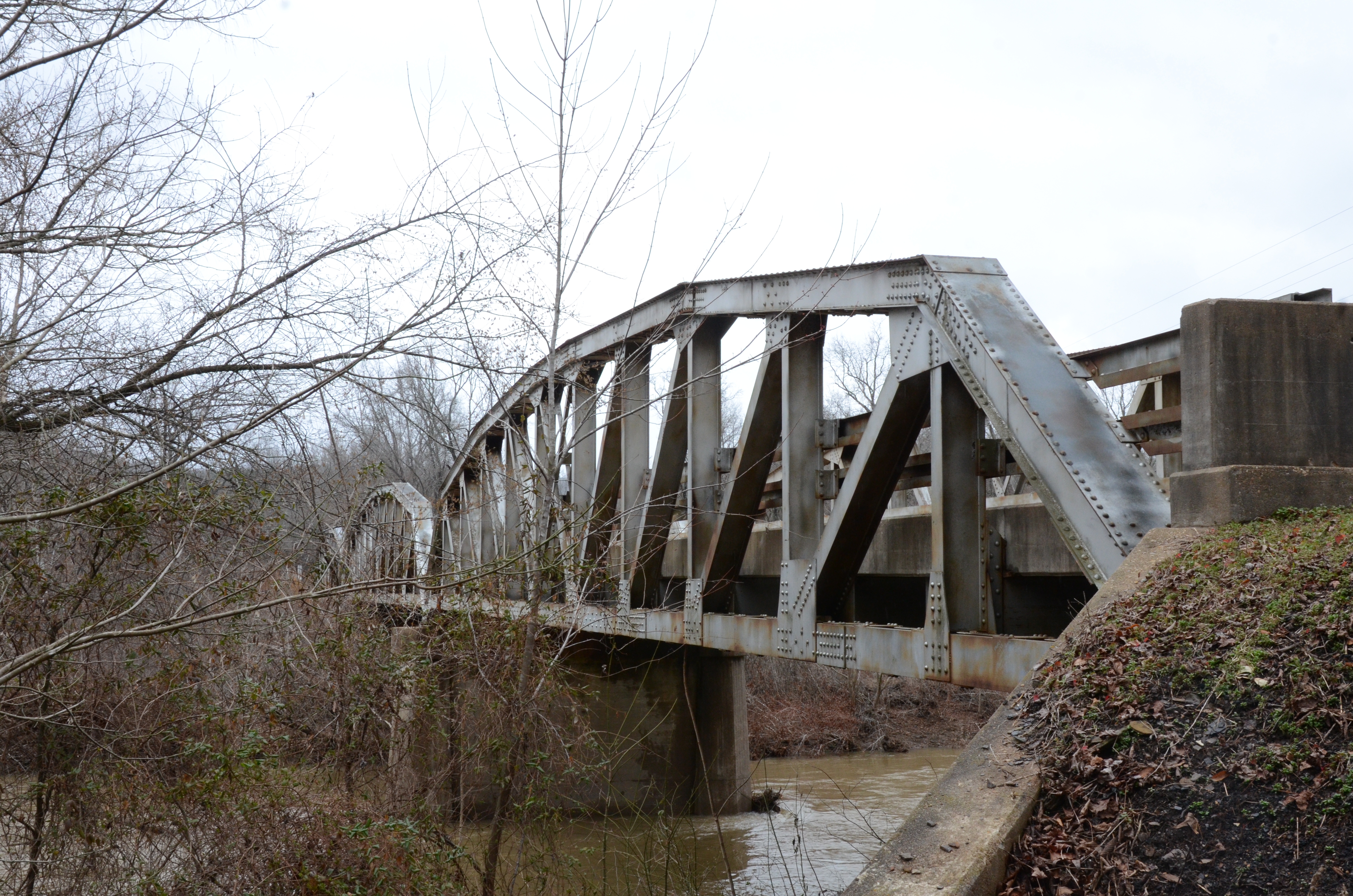
Arkansas Rivers
Compare 8 tracked Arkansas paddle routes with route links, water-level context, difficulty, and access planning details.
Paddle Today only lists routes when the gauge, threshold, and source support are defensible enough for live route scoring.
Showing route starts. Interactive map loading.
Coverage snapshot
Where Paddle Today tracks Arkansas
Use the map to scan route density, then start with beginner routes, planning routes, or the full directory below.
Live conditions
Best Arkansas routes today
Loading current scores, gauge reads, and weather signals.
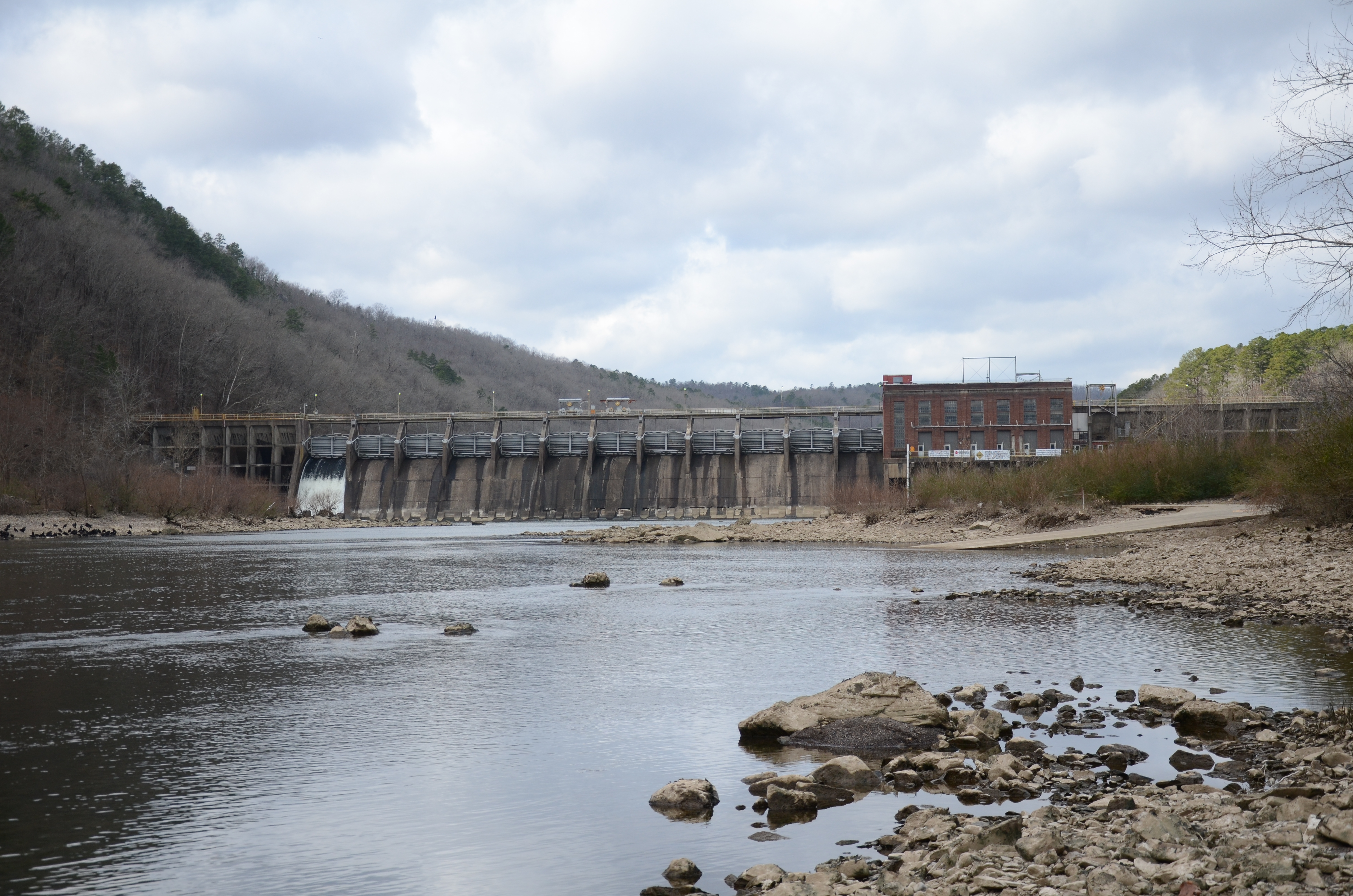
Ouachita River
Remmel Dam to Ouachita River Whitewater Park
Moderate | About 5.9 to 6 mi | About 3 hr to 4 hr during normal recreation releases, longer at low scrape-through flows or with take-out congestionCossatot River
Ed Banks Access to Highway 278 Access
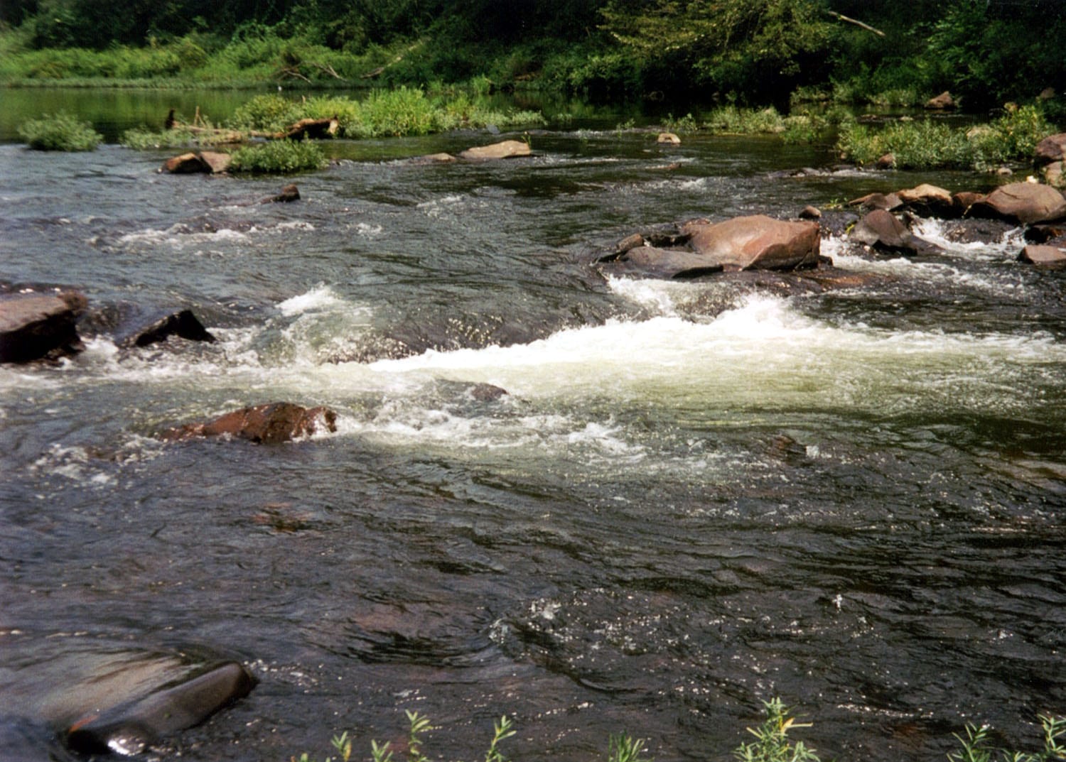
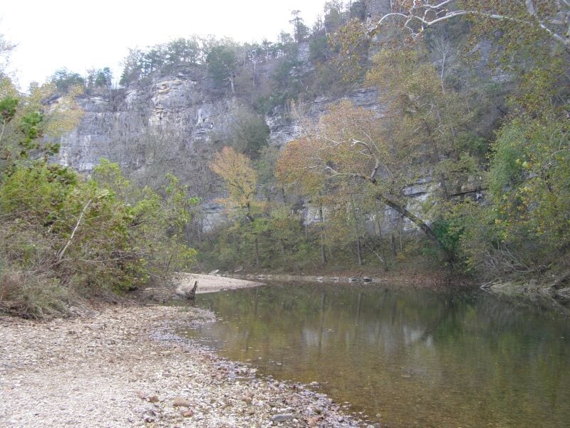
Hard | About 6 to 6.4 mi | Expert whitewater run; allow extra time for scouting, portages, rescue margin, and rough-road shuttle delaysBuffalo River
Kyle's Landing to Pruitt
Hard | About 13.2 mi | About 6 hr to 8 hr, longer with low water, wood, scouting, or slow shuttle roadsBuffalo River
Pruitt to Hasty
Hard | About 6.8 to 7 mi | About 3 hr to 5 hr at moderate water, longer with low water, wood, or stopsThis panel hydrates from live Paddle Today scores. The route links above remain useful when JavaScript or the score API is unavailable.
Best route options
Good starting points in Arkansas
Ranked from route metadata, source support, difficulty, and logistics.
Route facts
Route facts
Route facts
Route facts

Route facts
Route facts
Weekend planning
Routes with practical logistics
Use the live weekend board for score-based recommendations.
Browse coverage
Rivers and regions
Compact directory links for crawlers and planners.
By river
Buffalo River 4
Cossatot River 1
Kings River 1
Mulberry River 1
Ouachita River 1
By region
Ouachita Mountains 2
Need broader planning context?
Weekend board Explore all routes Request a routeAll tracked routes
Every Arkansas route on Paddle Today
8 server-rendered route links.
Showing all 8 routes.
Quick answers
Arkansas paddling FAQ
How does Paddle Today choose Arkansas paddle routes?
Paddle Today lists Arkansas routes when the route has enough defensible gauge, threshold, source, and logistics support to make a live route score useful. The current Arkansas page includes 8 tracked routes across 5 rivers.
Are these Arkansas river conditions live?
The route links on this page are server-rendered and crawlable. Each route page then checks live gauge readings, weather, water-level context, and route score data before you make a same-day call.
Can I request another Arkansas route?
Yes. Use the request form to send the river, reach, access points, and any source links. Paddle Today prioritizes routes where a public gauge or defensible threshold support can back the live score.