State routes
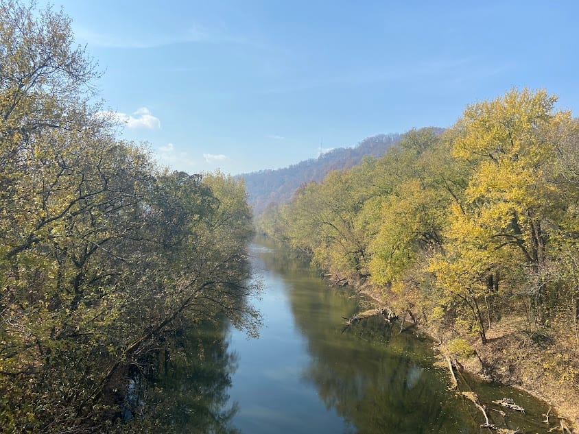
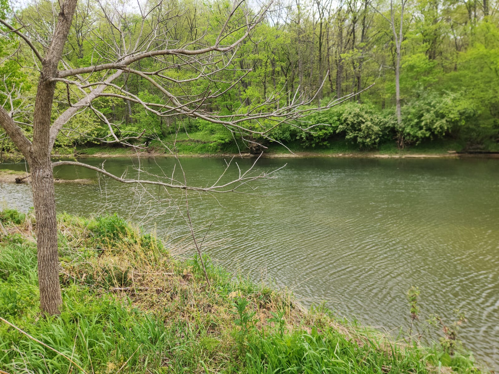
Kentucky Rivers
Compare 8 tracked Kentucky paddle routes with route links, water-level context, difficulty, and access planning details.
Paddle Today only lists routes when the gauge, threshold, and source support are defensible enough for live route scoring.
Showing route starts. Interactive map loading.
Coverage snapshot
Where Paddle Today tracks Kentucky
Use the map to scan route density, then start with beginner routes, planning routes, or the full directory below.
Live conditions
Best Kentucky routes today
Loading current scores, gauge reads, and weather signals.
Levisa Fork
Cedar Creek Ramp to Thompson Road Ramp
Easy | 3.0 mi | About 1.5 hr to 2.5 hr, longer with low water, wood, or a slow take-outSlate Creek
Lions Club Park to Old Slate Furnace Park
Easy | 3.7 mi | About 1.5 hr to 3 hr, longer with low water, fishing stops, or woodSouth Fork Kentucky River
Kay Wood Road Access to Fish Creek Boat Ramp
Easy | 7.9 mi | About 3 hr to 5 hr, longer with low water, fishing stops, wind, or woodFloyds Fork
Fisherville Canoe Access to Cane Run Canoe Access
Moderate | About 4.2 mi | About 2.5 hr to 3.5 hr, longer with low water, scouting, fishing, or woodThis panel hydrates from live Paddle Today scores. The route links above remain useful when JavaScript or the score API is unavailable.
Best route options
Good starting points in Kentucky
Ranked from route metadata, source support, difficulty, and logistics.
Route facts
Route facts

Route facts
Route facts

Route facts
Route facts
Beginner routes
Kentucky beginner routes
These routes are tagged easy in the route data. Today's water can still change the call.
Weekend planning
Routes with practical logistics
Use the live weekend board for score-based recommendations.
Browse coverage
Rivers and regions
Compact directory links for crawlers and planners.
By river
Drakes Creek 1
Elkhorn Creek 1
Floyds Fork 1
Levisa Fork 1
Slate Creek 1
South Fork Kentucky River 1
By region
Bluegrass Region 1
Eastern Kentucky 3
Louisville Metro 1
Northeastern Kentucky 1
Need broader planning context?
Weekend board Explore all routes Request a routeAll tracked routes
Every Kentucky route on Paddle Today
8 server-rendered route links.
Showing all 8 routes.
Quick answers
Kentucky paddling FAQ
How does Paddle Today choose Kentucky paddle routes?
Paddle Today lists Kentucky routes when the route has enough defensible gauge, threshold, source, and logistics support to make a live route score useful. The current Kentucky page includes 8 tracked routes across 8 rivers.
Are these Kentucky river conditions live?
The route links on this page are server-rendered and crawlable. Each route page then checks live gauge readings, weather, water-level context, and route score data before you make a same-day call.
Can I request another Kentucky route?
Yes. Use the request form to send the river, reach, access points, and any source links. Paddle Today prioritizes routes where a public gauge or defensible threshold support can back the live score.