Kentucky | Louisville Metro
Floyds Fork
Fisherville Canoe Access to Cane Run Canoe Access
Check current paddling conditions for this Floyds Fork route, including water level, recent gauge trend, weather, and route details.
Route snapshot
Loading the route snapshot. This usually takes a few seconds.
Today
Get the answer fast, then scan the route.
Start with the verdict, current conditions, route plan, and quick facts before you commit to the drive.
Today's conditions
Gauge
Recent trend
Checking preferred range.
Checking trend.
Gauge source
-- Checking timestampMN DNR provides the current paddling level here, but not chart-ready recent samples.
Weather
Best window today
Checking weather.
Today by hour
Short-route forecast
Checking the next several hours.
Quick facts
Plan
Dial in the shuttle, distance, and access.
Use this section once the route looks viable and you need to turn it into an actual trip plan.
Access plan
Access, shuttle, and map
Launch at Fisherville Canoe Access and take out 4.2 miles downstream at Cane Run Canoe Access for a short Floyds Fork day in The Parklands corridor. KDFWR gives a good Fisherville gauge band of 50 to 300 cfs.
Put-in
Fisherville Canoe Access Open mapFisherville is a KDFWR carry-down site off Old Taylorsville Road with unpaved parking and no listed amenities. Make a same-day visual check before unloading boats.
Take-out
Cane Run Canoe Access Open mapCane Run is a KDFWR carry-down site off Echo Trail with unpaved parking. The Parklands route notes say the take-out is reached by going about 50 yards up the Cane Run side channel after the Fork bends hard right.
Pulling access map tiles. Usually under 5 seconds.
Access caveats
- Fisherville is a KDFWR carry-down site off Old Taylorsville Road with unpaved parking and no listed amenities. Make a same-day visual check before unloading boats.
- Cane Run is a KDFWR carry-down site off Echo Trail with unpaved parking. The Parklands route notes say the take-out is reached by going about 50 yards up the Cane Run side channel after the Fork bends hard right.
- The Parklands says Floyds Fork levels rise and fall quickly. Do not treat the gauge as a substitute for checking rain, trend, and the launch channel before committing.
- Stay on the creek and use named public accesses. Respect private property and managed park boundaries; do not climb banks, scout through yards, or assume gravel bars are legal stopping points.
Watch for
- Class I+ moving water, narrow chutes, small ledges, small waves, and pool-and-drop sections that require boat control.
- Strainers, log jams, root balls, overhanging brush, sharp bends, bridge debris, and fresh storm wood.
- Low water below 50 cfs or 1.3 ft, when shallow chutes, islands, and dragging become likely.
- High water above 300 cfs or 2.5 ft, when KDFWR moves the creek out of the good band and The Parklands cautions that current can be swift with fewer landing beaches.
- Water-quality and runoff concerns after storms in the Louisville metro watershed; avoid paddling after heavy rain or visible contamination.
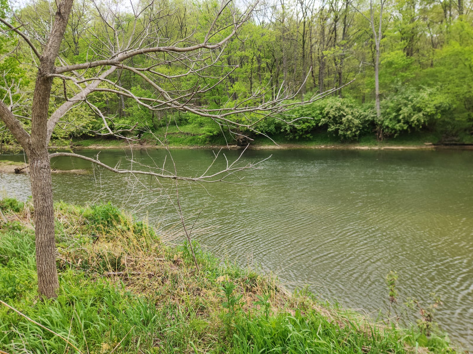
Route gallery
See this route on the water
Photos help show what the access looks like and what the route actually feels like on the water.
Sources
Check the data behind today's call.
Use this section when the page shows stale data, limited confidence, or a call you want to verify before driving.
Why this score Today's data confidence is checking
Data confidence mostly comes down to three things: how direct the gauge is, how clear the range is, and how fresh the data is.
- Checking data confidence notes.
- Checking data confidence cautions.
Outlook Tomorrow and weekend
This is a cautious early look. If the data is too thin, we leave it out.
Waiting on forecast.
Waiting on forecast.
Data behind the score Gauge, thresholds, and timing
These are the live readings and threshold notes behind today's score.
| Gauge site | Floyds Fork at Fisherville, KY |
| Discharge | Checking |
| Gauge height | Checking |
| 24h trend | Checking |
| 24h change | Checking |
| Current band | Checking |
| Rain last 24h | Checking |
| Rain last 72h | Checking |
| Air temp | Checking |
| Water temp | Checking |
| Wind | Checking |
| Gusts | Checking |
| Rain timing | Checking |
| Target band | 50 cfs to 300 cfs |
| Low threshold | 50 cfs |
| High threshold | 300 cfs |
| Data confidence behind the range | Official data source |
| Gauge observed | Checking |
| Paddle Today updated | Checking |
| Main source behind this score | KDFWR recommended river levels for Floyds Fork near Fisherville |
| Gauge source | Checking |
| Weather source | Checking |
| Rainfall source | Checking |
Notes What to know before you go
These notes cover the access details, route quirks, and source caveats most likely to matter once you get there.
- Official level band 50-300 cfs / 1.3-2.5 ft
KDFWR rates Floyds Fork near Fisherville as Low below 50 cfs or 1.3 ft, Good from 50 to 300 cfs or 1.3 to 2.5 ft, and High above 300 cfs or 2.5 ft.
- Official route segment Fisherville Canoe Access to Cane Run Canoe Access, 4.2 miles
KDFWR lists Fisherville Canoe Access to Cane Run Canoe Access as a public-access Floyds Fork segment in its site-to-site mileage table.
- Blue Water Trail map Fisherville to Cane Run mapped as about 4.5 miles
The KDFWR Blue Water Trail map identifies Fisherville Access and Cane Run Access in the public Floyds Fork access chain and labels Fisherville-to-Cane Run as a ramp-to-ramp route.
- Put-in access Fisherville Canoe Access, 38.1887, -85.4779
KDFWR identifies Fisherville Canoe Access as a free carry-down site off Old Taylorsville Road with unpaved parking and year-round 24-hour boat-ramp and shoreline availability.
- Take-out access Cane Run Canoe Access, 38.1519, -85.5026
KDFWR identifies Cane Run Canoe Access as a free carry-down site off Echo Trail with unpaved parking and Floyds Fork access.
- Live-gauge support USGS 03298000
The official USGS legacy current-conditions page showed 108 cfs and 1.52 ft at 2026-05-31 11:20 EDT for Floyds Fork at Fisherville during this run.
- Route hazards Class I+ moving water, chutes, waves, strainers
The Parklands warns that Floyds Fork is Class I+ moving water with small rapids, waves, obstructions, sharp turns, overhanging brush, strainers, and quickly changing water levels.
- Segment notes Pool-and-drop channel to Cane Run
The Parklands Fisherville-to-Cane Run guide describes islands, narrow chutes, a six-inch ledge, a remote pool-and-drop stretch, wave features near the end, and a signed take-out up the Cane Run side channel.
Verify it yourself Check the source links
Use these links to double-check the gauge, route details, and access notes before you head out.
Paddler reports
Recent notes from paddlers
A few quick notes from people who were on this route recently.
Reports
Photos, paddler notes, and updates.
See what others have shared, then add a condition report, upload photos, or flag anything that needs fixing.
Share your trip
Keep exploring
More routes to check next
Compare another stretch on this river, or jump to nearby options before you pick a plan.
More in Kentucky
All 8 routesNearby routes by distance
Quick answers
Floyds Fork paddling FAQ
What water level is good for paddling Floyds Fork?
Paddle Today watches Floyds Fork at Fisherville, KY and treats 50 cfs to 300 cfs as the target band for this route, with weather and recent trend included in the final score.
Where does this Floyds Fork route start and end?
This route starts at Fisherville Canoe Access and ends at Cane Run Canoe Access, about About 4.2 mi on the water.
Is this Floyds Fork route good for beginners?
This is listed as a moderate route. Expect more planning than an easy float, and use the live score, route notes, and source links before committing.
Flag a change
See something outdated?
Access, hazards, wood, and shuttle details change. Send a quick correction if something looks off.