Kentucky | Northeastern Kentucky
Slate Creek
Lions Club Park to Old Slate Furnace Park
Check current paddling conditions for this Slate Creek route, including water level, recent gauge trend, weather, and route details.
Route snapshot
Loading the route snapshot. This usually takes a few seconds.
Today
Get the answer fast, then scan the route.
Start with the verdict, current conditions, route plan, and quick facts before you commit to the drive.
Today's conditions
Gauge
Recent trend
Checking preferred range.
Checking trend.
Gauge source
-- Checking timestampMN DNR provides the current paddling level here, but not chart-ready recent samples.
Weather
Best window today
Checking weather.
Today by hour
Short-route forecast
Checking the next several hours.
Quick facts
Plan
Dial in the shuttle, distance, and access.
Use this section once the route looks viable and you need to turn it into an actual trip plan.
Access plan
Access, shuttle, and map
Launch from the Lions Club Park carry-down access below the low-head-dam area and take out 3.7 miles downstream at Old Slate Furnace Park. KDFWR gives a good Slate Creek boating and fishing band of 100 to 200 cfs.
Put-in
Lions Club Park carry-down access Open mapLions Club Park sits by a low-head dam visible from the Kendall Springs Road bridge. Use the KDFWR-listed carry-down access below the dam and do not launch above the dam for this route.
Take-out
Old Slate Furnace Park carry-down access Open mapOld Slate Furnace Park is a KDFWR carry-down site with unpaved parking, picnic tables, and a historic furnace. Land at the park access rather than spreading onto nearby banks.
Pulling access map tiles. Usually under 5 seconds.
Access caveats
- Lions Club Park sits by a low-head dam visible from the Kendall Springs Road bridge. Use the KDFWR-listed carry-down access below the dam and do not launch above the dam for this route.
- Old Slate Furnace Park is a KDFWR carry-down site with unpaved parking, picnic tables, and a historic furnace. Land at the park access rather than spreading onto nearby banks.
- KDFWR describes Slate Creek as shallow with abundant rock bars and water willow beds, so low water can turn this short float into a draggy creek walk.
- KDFWR notes limited hours or event restrictions at Lions Club Park. Check same-day park access before leaving a shuttle vehicle.
Watch for
- Low-head-dam hydraulics and boils near Lions Club Park; stay below the dam for this segment and avoid fishing or scouting close to the structure.
- Low water below 100 cfs, when rock bars, shallow shoals, and dragging become likely.
- High water above 200 cfs, when KDFWR moves the creek out of the good band and current, wood, and landings deserve extra caution.
- Woody debris, strainers, stained water, and quick rain response on this small creek.
- Private-bank limits away from KDFWR access sites; use public parks and legal gravel-bar stops rather than climbing banks or yards.
Route gallery
See this route on the water
Photos help show what the access looks like and what the route actually feels like on the water.
Sources
Check the data behind today's call.
Use this section when the page shows stale data, limited confidence, or a call you want to verify before driving.
Why this score Today's data confidence is checking
Data confidence mostly comes down to three things: how direct the gauge is, how clear the range is, and how fresh the data is.
- Checking data confidence notes.
- Checking data confidence cautions.
Outlook Tomorrow and weekend
This is a cautious early look. If the data is too thin, we leave it out.
Waiting on forecast.
Waiting on forecast.
Data behind the score Gauge, thresholds, and timing
These are the live readings and threshold notes behind today's score.
| Gauge site | Slate Creek at Highway 713 near Mt. Sterling, KY |
| Discharge | Checking |
| Gauge height | Checking |
| 24h trend | Checking |
| 24h change | Checking |
| Current band | Checking |
| Rain last 24h | Checking |
| Rain last 72h | Checking |
| Air temp | Checking |
| Water temp | Checking |
| Wind | Checking |
| Gusts | Checking |
| Rain timing | Checking |
| Target band | 100 cfs to 200 cfs |
| Low threshold | 100 cfs |
| High threshold | 200 cfs |
| Data confidence behind the range | Official data source |
| Gauge observed | Checking |
| Paddle Today updated | Checking |
| Main source behind this score | KDFWR recommended river levels for Slate Creek downstream of Howards Mill |
| Gauge source | Checking |
| Weather source | Checking |
| Rainfall source | Checking |
Notes What to know before you go
These notes cover the access details, route quirks, and source caveats most likely to matter once you get there.
- Official level band 100-200 cfs
KDFWR rates Slate Creek from Howards Mill downstream to the Licking River as Low below 100 cfs, Good from 100 to 200 cfs, and High above 200 cfs.
- Official route segment Lions Club Park to Old Slate Furnace Park, 3.7 miles
KDFWR lists Lions Club Park to Old Slate Furnace Park as a 3.7-mile public-access segment on Slate Creek.
- Blue Water Trail context Excellent half-day float
KDFWR Blue Water Trails describes the Lions Club access-to-Old Slate Furnace Park float as nearly four miles with a quick shuttle, ending at the park on river right just below Mill Creek.
- Put-in access Lions Club Park, 38.1305, -83.7665
KDFWR identifies Slate Creek - Lions Club as a free carry-down site with unpaved parking, year-round 24-hour boat-ramp availability, and a dam note for the creek here.
- Take-out access Old Slate Furnace Park, 38.1148, -83.7475
KDFWR identifies Slate Creek - Old Slate Furnace as a free carry-down site with unpaved parking, picnic-area availability, and a canoe/kayak launch suitable for carry-down use.
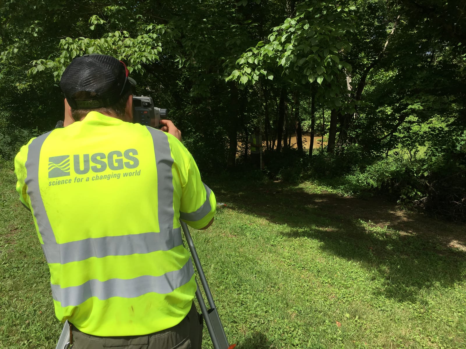
- Live-gauge support USGS 03250190
The official USGS legacy current-conditions page showed May 31, 2026 instantaneous discharge and gage-height values for Slate Creek at Highway 713 near Mt. Sterling during this run.
Verify it yourself Check the source links
Use these links to double-check the gauge, route details, and access notes before you head out.
Paddler reports
Recent notes from paddlers
A few quick notes from people who were on this route recently.
Reports
Photos, paddler notes, and updates.
See what others have shared, then add a condition report, upload photos, or flag anything that needs fixing.
Share your trip
Keep exploring
More routes to check next
Compare another stretch on this river, or jump to nearby options before you pick a plan.
Quick answers
Slate Creek paddling FAQ
What water level is good for paddling Slate Creek?
Paddle Today watches Slate Creek at Highway 713 near Mt. Sterling, KY and treats 100 cfs to 200 cfs as the target band for this route, with weather and recent trend included in the final score.
Where does this Slate Creek route start and end?
This route starts at Lions Club Park carry-down access and ends at Old Slate Furnace Park carry-down access, about 3.7 mi on the water.
Is this Slate Creek route good for beginners?
This is listed as an easy route, but conditions still matter. Check today's score, water level, weather, and access notes before you go.
Flag a change
See something outdated?
Access, hazards, wood, and shuttle details change. Send a quick correction if something looks off.