Wisconsin | Western Wisconsin
Kinnickinnic River
Glen Park to Kinnickinnic State Park
Check current paddling conditions for this Kinnickinnic River route, including water level, recent gauge trend, weather, and route details.
Route snapshot
Loading the route snapshot. This usually takes a few seconds.
Today
Get the answer fast, then scan the route.
Start with the verdict, current conditions, route plan, and quick facts before you commit to the drive.
Today's conditions
Gauge
Recent trend
Checking preferred range.
Checking trend.
Gauge source
-- Checking timestampMN DNR provides the current paddling level here, but not chart-ready recent samples.
Weather
Best window today
Checking weather.
Today by hour
Short-route forecast
Checking the next several hours.
Quick facts
Plan
Dial in the shuttle, distance, and access.
Use this section once the route looks viable and you need to turn it into an actual trip plan.
Access plan
Access, shuttle, and map
Put in below the second River Falls dam at Glen Park and finish at the state-park beach where the Kinnickinnic meets the St. Croix. This is a beautiful but committed swiftwater day, not a casual scenic float.
Put-in
Glen Park (River Falls) Open mapThe Glen Park launch is reached by a footpath and staircase down the bluff, not by a polished ramp, so expect a real carry to the river.
Take-out
St. Croix River beach / concrete take-out at Kinnickinnic State Park Open mapThe official state-park take-out is followed by a steep carry back up to the main parking area. Bring a cart or plan for the climb before you launch.
Pulling access map tiles. Usually under 5 seconds.
Access caveats
- The Glen Park launch is reached by a footpath and staircase down the bluff, not by a polished ramp, so expect a real carry to the river.
- The official state-park take-out is followed by a steep carry back up to the main parking area. Bring a cart or plan for the climb before you launch.
Watch for
- Scraping and boat abuse below about 175 cfs at River Falls.
- Continuous riffles and class II features for miles below the put-in.
- Anglers, strainers after storms, and cold water outside peak summer.
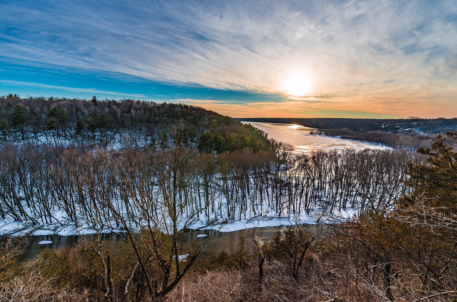
Route gallery
See this route on the water
Photos help show what the access looks like and what the route actually feels like on the water.
Sources
Check the data behind today's call.
Use this section when the page shows stale data, limited confidence, or a call you want to verify before driving.
Why this score Today's data confidence is checking
Data confidence mostly comes down to three things: how direct the gauge is, how clear the range is, and how fresh the data is.
- Checking data confidence notes.
- Checking data confidence cautions.
Outlook Tomorrow and weekend
This is a cautious early look. If the data is too thin, we leave it out.
Waiting on forecast.
Waiting on forecast.
Data behind the score Gauge, thresholds, and timing
These are the live readings and threshold notes behind today's score.
| Gauge site | Kinnickinnic River near River Falls, WI |
| Discharge | Checking |
| Gauge height | Checking |
| 24h trend | Checking |
| 24h change | Checking |
| Current band | Checking |
| Rain last 24h | Checking |
| Rain last 72h | Checking |
| Air temp | Checking |
| Water temp | Checking |
| Wind | Checking |
| Gusts | Checking |
| Rain timing | Checking |
| Target band | 175 cfs to 225 cfs |
| Low threshold | 125 cfs |
| High threshold | 250 cfs |
| Data confidence behind the range | Local route guidance |
| Gauge observed | Checking |
| Paddle Today updated | Checking |
| Main source behind this score | MilesPaddled and Wisconsin River Trips Kinnickinnic flow notes |
| Gauge source | Checking |
| Weather source | Checking |
| Rainfall source | Checking |
Notes What to know before you go
These notes cover the access details, route quirks, and source caveats most likely to matter once you get there.
- Scrape-heavy trip day 125 cfs
MilesPaddled ran the full River Falls to state-park route at 125 cfs and described it as doable but scrape-prone.
- Practical minimum ~175 cfs
The same source says about 175 cfs is the better minimum for a fun run that is less damaging to boats.
- Difficulty Class II swiftwater
The route stays lively for miles below River Falls before easing near the St. Croix.
- Launch support Official Glen Park corridor launch shown on city map
River Falls city mapping for the Kinni Trail System shows a canoe and kayak launch in the Glen Park corridor, which strengthens the below-dam put-in story beyond community trip notes alone.
- Supplemental high-water caution 250+ cfs may get pushy
Wisconsin River Trips treats roughly 250 cfs and above at River Falls as the point where this lower Kinni run may become too pushy and murky for a typical day.
- Take-out friction Steep carry and park admission
The state-park finish uses the official concrete take-out but requires a steep carry back to the parking area and a Wisconsin state-park pass.
Verify it yourself Check the source links
Use these links to double-check the gauge, route details, and access notes before you head out.
- City of River Falls Glen Park
- City of River Falls mapping portal
- City of River Falls Kinni Trail System map
- Wisconsin DNR Kinnickinnic State Park
- Wisconsin DNR Kinnickinnic State Park map
- Wisconsin DNR Kinnickinnic River Gorge and Delta SNA
- Wisconsin DNR Kinnickinnic River Fishery Area
- USGS 05342000 monitoring location
- Wisconsin River Trips Kinnickinnic segment notes
- MilesPaddled Kinnickinnic River
Paddler reports
Recent notes from paddlers
A few quick notes from people who were on this route recently.
Reports
Photos, paddler notes, and updates.
See what others have shared, then add a condition report, upload photos, or flag anything that needs fixing.
Share your trip
Keep exploring
More routes to check next
Compare another stretch on this river, or jump to nearby options before you pick a plan.
More in Wisconsin
All 65 routesNearby routes by distance
Quick answers
Kinnickinnic River paddling FAQ
What water level is good for paddling Kinnickinnic River?
Paddle Today watches Kinnickinnic River near River Falls, WI and treats 175 cfs to 225 cfs as the target band for this route, with weather and recent trend included in the final score.
Where does this Kinnickinnic River route start and end?
This route starts at Glen Park (River Falls) and ends at St. Croix River beach / concrete take-out at Kinnickinnic State Park, about 10 mi on the water.
Is this Kinnickinnic River route good for beginners?
This is listed as a hard route. Treat the live score as a planning aid, then confirm conditions, hazards, access, and group skill before launching.
Flag a change
See something outdated?
Access, hazards, wood, and shuttle details change. Send a quick correction if something looks off.