See all 2 routes on Mississippi River
Minnesota | Twin Cities
Mississippi River
Hidden Falls to Harriet Island
Check current paddling conditions for this Mississippi River route, including water level, recent gauge trend, weather, and route details.
Route snapshot
Loading the route snapshot. This usually takes a few seconds.
Today
Get the answer fast, then scan the route.
Start with the verdict, current conditions, route plan, and quick facts before you commit to the drive.
Today's conditions
Gauge
Recent trend
Checking preferred range.
Checking trend.
Gauge source
-- Checking timestampMN DNR provides the current paddling level here, but not chart-ready recent samples.
Weather
Best window today
Checking weather.
Today by hour
Short-route forecast
Checking the next several hours.
Quick facts
Plan
Dial in the shuttle, distance, and access.
Use this section once the route looks viable and you need to turn it into an actual trip plan.
Access plan
Access, shuttle, and map
Launch at Hidden Falls and take out at Kelley's Landing on Harriet Island for MN DNR's 6.5-mile downstream Twin Cities Mississippi trip.
Put-in
Hidden Falls Regional Park Mississippi River boat ramp Open mapHidden Falls is the confirmed public boat-ramp put-in; use current park access and flood-closure information before launch.
Take-out
Kelley's Landing / Harriet Island Open mapKelley's Landing is the Harriet Island-side take-out. Lambert's Landing is not the endpoint for this route.
Pulling access map tiles. Usually under 5 seconds.
Access caveats
- Hidden Falls is the confirmed public boat-ramp put-in; use current park access and flood-closure information before launch.
- Kelley's Landing is the Harriet Island-side take-out. Lambert's Landing is not the endpoint for this route.
- Saint Paul public dock and park rules may limit docking, tie-up duration, and event-area use.
Watch for
- Swift current, commercial traffic, and large boat wakes through the metro Mississippi corridor.
- Changing water color and converging current near the Minnesota River confluence.
- Urban debris, bridge piers, wind exposure, and limited casual landing options between official access points.
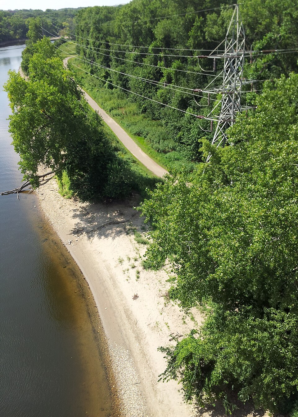
Route gallery
See this route on the water
Photos help show what the access looks like and what the route actually feels like on the water.
Sources
Check the data behind today's call.
Use this section when the page shows stale data, limited confidence, or a call you want to verify before driving.
Why this score Today's data confidence is checking
Data confidence mostly comes down to three things: how direct the gauge is, how clear the range is, and how fresh the data is.
- Checking data confidence notes.
- Checking data confidence cautions.
Outlook Tomorrow and weekend
This is a cautious early look. If the data is too thin, we leave it out.
Waiting on forecast.
Waiting on forecast.
Data behind the score Gauge, thresholds, and timing
These are the live readings and threshold notes behind today's score.
| Gauge site | Mississippi River at St. Paul, MN |
| Discharge | Checking |
| Gauge height | Checking |
| 24h trend | Checking |
| 24h change | Checking |
| Current band | Checking |
| Rain last 24h | Checking |
| Rain last 72h | Checking |
| Air temp | Checking |
| Water temp | Checking |
| Wind | Checking |
| Gusts | Checking |
| Rain timing | Checking |
| Target band | 6,000 cfs to 30,000 cfs |
| Low threshold | 2,000 cfs |
| High threshold | 40,000 cfs |
| Data confidence behind the range | Official data source |
| Gauge observed | Checking |
| Paddle Today updated | Checking |
| Main source behind this score | MN DNR river-level interpretation bands for Mississippi River at St. Paul |
| Gauge source | Checking |
| Weather source | Checking |
| Rainfall source | Checking |
Notes What to know before you go
These notes cover the access details, route quirks, and source caveats most likely to matter once you get there.
- DNR bands 2,000 / 6,000-30,000 / 40,000 cfs
MN DNR interprets the St. Paul reading as Scrapable below 2,000 cfs, Low from 2,000 to 6,000, Medium from 6,000 to 30,000, High from 30,000 to 40,000, and Very High above 40,000.
- Recommended trip 6.5 river miles
MN DNR recommends Hidden Falls to Harriet Island as the Map 10 downstream Twin Cities Mississippi day trip.
- Route character Metro big river
DNR Map 10 cautions that this segment can have deceptively swift current and large wakes from motorboats and barges, and it passes the Minnesota River confluence before downtown Saint Paul.
- Take-out selection Kelley's Landing at Harriet Island
Saint Paul identifies Kelley's Landing as part of Harriet Island Regional Park. Lambert's Landing is farther north and was not selected because the DNR route endpoint is Harriet Island.
Verify it yourself Check the source links
Use these links to double-check the gauge, route details, and access notes before you head out.
Paddler reports
Recent notes from paddlers
A few quick notes from people who were on this route recently.
Reports
Photos, paddler notes, and updates.
See what others have shared, then add a condition report, upload photos, or flag anything that needs fixing.
Share your trip
Keep exploring
More routes to check next
Compare another stretch on this river, or jump to nearby options before you pick a plan.
Quick answers
Mississippi River paddling FAQ
What water level is good for paddling Mississippi River?
Paddle Today watches Mississippi River at St. Paul, MN and treats 6,000 cfs to 30,000 cfs as the target band for this route, with weather and recent trend included in the final score.
Where does this Mississippi River route start and end?
This route starts at Hidden Falls Regional Park Mississippi River boat ramp and ends at Kelley's Landing / Harriet Island, about 6.5 mi on the water.
Is this Mississippi River route good for beginners?
This is listed as a moderate route. Expect more planning than an easy float, and use the live score, route notes, and source links before committing.
Flag a change
See something outdated?
Access, hazards, wood, and shuttle details change. Send a quick correction if something looks off.