Wisconsin | Western Wisconsin
La Crosse River
Veterans Memorial County Park to Holiday Heights Park
Check current paddling conditions for this La Crosse River route, including water level, recent gauge trend, weather, and route details.
Route snapshot
Loading the route snapshot. This usually takes a few seconds.
Today
Get the answer fast, then scan the route.
Start with the verdict, current conditions, route plan, and quick facts before you commit to the drive.
Today's conditions
Gauge
Recent trend
Checking preferred range.
Checking trend.
Gauge source
-- Checking timestampMN DNR provides the current paddling level here, but not chart-ready recent samples.
Weather
Best window today
Checking weather.
Today by hour
Short-route forecast
Checking the next several hours.
Quick facts
Plan
Dial in the shuttle, distance, and access.
Use this section once the route looks viable and you need to turn it into an actual trip plan.
Access plan
Access, shuttle, and map
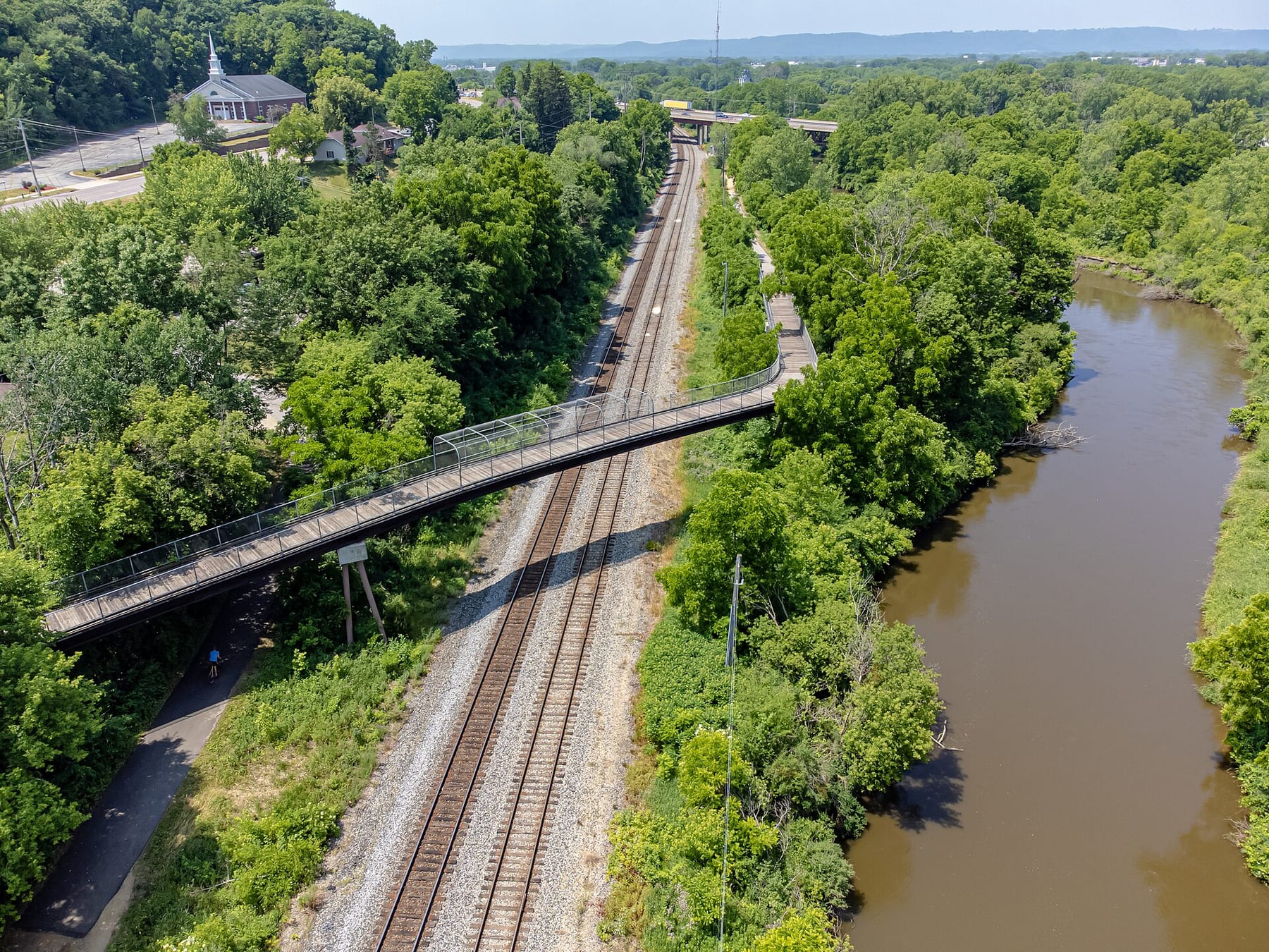
Launch from the Veterans Memorial Campground canoe landing on the La Crosse River and take out at Holiday Heights Landing in Holiday Heights Park. The first miles are straighter and noisier near I-90, while the lower half has better sandbanks, faster current, and bluff views.
Put-in
Veterans Memorial Campground canoe landing Open mapLa Crosse County publishes campground coordinates for Veterans Memorial Campground and confirms river access; Wisconsin River Trips notes the actual canoe landing is inside the campground and parking may be several hundred feet from the water.
Take-out
Holiday Heights Park / Holiday Heights Landing Open mapHoliday Heights Park is a public Onalaska park, and Wisconsin River Trips describes the landing as a good public-access take-out with parking but no restroom.
Pulling access map tiles. Usually under 5 seconds.
Access caveats
- La Crosse County publishes campground coordinates for Veterans Memorial Campground and confirms river access; Wisconsin River Trips notes the actual canoe landing is inside the campground and parking may be several hundred feet from the water.
- Holiday Heights Park is a public Onalaska park, and Wisconsin River Trips describes the landing as a good public-access take-out with parking but no restroom.
- The Holiday Heights access road can be easy to miss from Highway 16; confirm the turn pattern before leaving a shuttle vehicle.
Watch for
- Fast strainers and tight gaps around downed wood, especially in the second half of the trip.
- Pushier current and covered sandbars above about 500 cfs on the La Crosse gauge.
- Minor Class I current around I-90 and changing wood after storms or spring runoff.
- Campground traffic, bike-trail traffic, and limited take-out amenities.
Route gallery
See this route on the water
Photos help show what the access looks like and what the route actually feels like on the water.
Sources
Check the data behind today's call.
Use this section when the page shows stale data, limited confidence, or a call you want to verify before driving.
Why this score Today's data confidence is checking
Data confidence mostly comes down to three things: how direct the gauge is, how clear the range is, and how fresh the data is.
- Checking data confidence notes.
- Checking data confidence cautions.
Outlook Tomorrow and weekend
This is a cautious early look. If the data is too thin, we leave it out.
Waiting on forecast.
Waiting on forecast.
Data behind the score Gauge, thresholds, and timing
These are the live readings and threshold notes behind today's score.
| Gauge site | La Crosse River Near La Crosse, WI |
| Discharge | Checking |
| Gauge height | Checking |
| 24h trend | Checking |
| 24h change | Checking |
| Current band | Checking |
| Rain last 24h | Checking |
| Rain last 72h | Checking |
| Air temp | Checking |
| Water temp | Checking |
| Wind | Checking |
| Gusts | Checking |
| Rain timing | Checking |
| Target band | 301 cfs to 400 cfs |
| Low threshold | 0 cfs |
| High threshold | 601 cfs |
| Data confidence behind the range | Local route guidance |
| Gauge observed | Checking |
| Paddle Today updated | Checking |
| Main source behind this score | Wisconsin River Trips La Crosse River - Veterans Memorial Campground depth guide |
| Gauge source | Checking |
| Weather source | Checking |
| Rainfall source | Checking |
Notes What to know before you go
These notes cover the access details, route quirks, and source caveats most likely to matter once you get there.
- Depth guide 301-400 cfs target
Wisconsin River Trips treats 301-400 cfs as the average target range, 401-500 cfs as high but navigable, 501-600 cfs as very high and skilled-paddler-only, and 601+ cfs as perhaps too high for enjoyable paddling.
- Direct gauge USGS 05383075
USGS operates the La Crosse River Near La Crosse, WI monitoring location used by Wisconsin River Trips for this lower-river route.
- Route shape 8.6 miles
Wisconsin River Trips documents Veterans Memorial Campground to Holiday Heights Park as an 8.6-mile route normally taking about three to four hours.
- Put-in support Veterans Memorial Campground canoe landing
La Crosse County lists Veterans Memorial Campground at N4668 County Road VP with GPS coordinates, confirms it is located on the La Crosse River, and related trail/campground materials list a canoe landing.
- Take-out support Holiday Heights Park / landing
Onalaska records Holiday Heights Park as a public city park, while Wisconsin River Trips describes Holiday Heights Landing as a public-access take-out with parking.
- Hazards Fast strainers and high-water push
Wisconsin River Trips reports fast current, minor Class I riffles, and several strainers that should be avoided or portaged if a paddler is not comfortable squeezing past.
Verify it yourself Check the source links
Use these links to double-check the gauge, route details, and access notes before you head out.
Paddler reports
Recent notes from paddlers
A few quick notes from people who were on this route recently.
Reports
Photos, paddler notes, and updates.
See what others have shared, then add a condition report, upload photos, or flag anything that needs fixing.
Share your trip
Keep exploring
More routes to check next
Compare another stretch on this river, or jump to nearby options before you pick a plan.
More in Wisconsin
All 65 routesNearby routes by distance
Quick answers
La Crosse River paddling FAQ
What water level is good for paddling La Crosse River?
Paddle Today watches La Crosse River Near La Crosse, WI and treats 301 cfs to 400 cfs as the target band for this route, with weather and recent trend included in the final score.
Where does this La Crosse River route start and end?
This route starts at Veterans Memorial Campground canoe landing and ends at Holiday Heights Park / Holiday Heights Landing, about 8.6 mi on the water.
Is this La Crosse River route good for beginners?
This is listed as an easy route, but conditions still matter. Check today's score, water level, weather, and access notes before you go.
Flag a change
See something outdated?
Access, hazards, wood, and shuttle details change. Send a quick correction if something looks off.