See all 2 routes on Flambeau River
Wisconsin | Northwoods Wisconsin
Flambeau River
County Highway W to Hervas Camp Landing
Check current paddling conditions for this Flambeau River route, including water level, recent gauge trend, weather, and route details.
Route snapshot
Loading the route snapshot. This usually takes a few seconds.
Today
Get the answer fast, then scan the route.
Start with the verdict, current conditions, route plan, and quick facts before you commit to the drive.
Today's conditions
Gauge
Recent trend
Checking preferred range.
Checking trend.
Gauge source
-- Checking timestampMN DNR provides the current paddling level here, but not chart-ready recent samples.
Weather
Best window today
Checking weather.
Today by hour
Short-route forecast
Checking the next several hours.
Quick facts
Plan
Dial in the shuttle, distance, and access.
Use this section once the route looks viable and you need to turn it into an actual trip plan.
Access plan
Access, shuttle, and map
Launch at the Highway W landing downstream of Babb's Island and finish at Hervas Camp Landing. This creates a route-sized North Fork Flambeau trip with Porcupine Rapids in the upper half and Wannigan Rapids plus Flambeau Falls below Camp 41.
Access planner
Pick a shorter segment
This changes launch and take-out logistics, not today's river score.
Peltier Lake to Long Lake is the full route. Shorter access pairs are useful when wind, time, or group energy changes the plan.
Put-in
Highway W Landing Open mapUse the County W landing on the east bank for the put-in, not the State Forest Headquarters landing across the river, unless signs or DNR staff direct otherwise.
Take-out
Hervas Camp Landing Open mapHervas is a small state-forest landing with limited parking, water, and toilets. Identify the take-out before launching if you have not used it before.
Pulling access map tiles. Usually under 5 seconds.
Access caveats
- Use the County W landing on the east bank for the put-in, not the State Forest Headquarters landing across the river, unless signs or DNR staff direct otherwise.
- Hervas is a small state-forest landing with limited parking, water, and toilets. Identify the take-out before launching if you have not used it before.
- The live gauge is downstream at Bruce and is only a proxy; local DNR level information and visual checks at the landings matter more than on direct-gauge routes.
Watch for
- Porcupine Rapids above Camp 41, including a third pitch that Wisconsin Trail Guide says should be scouted.
- Wannigan Rapids, Flambeau Falls, boulder gardens, shallow scrape risk at lower flows, and pushier waves after rain.
- Remote shoreline, cold water, wood, long-mileage fatigue, and limited quick exits between landings.
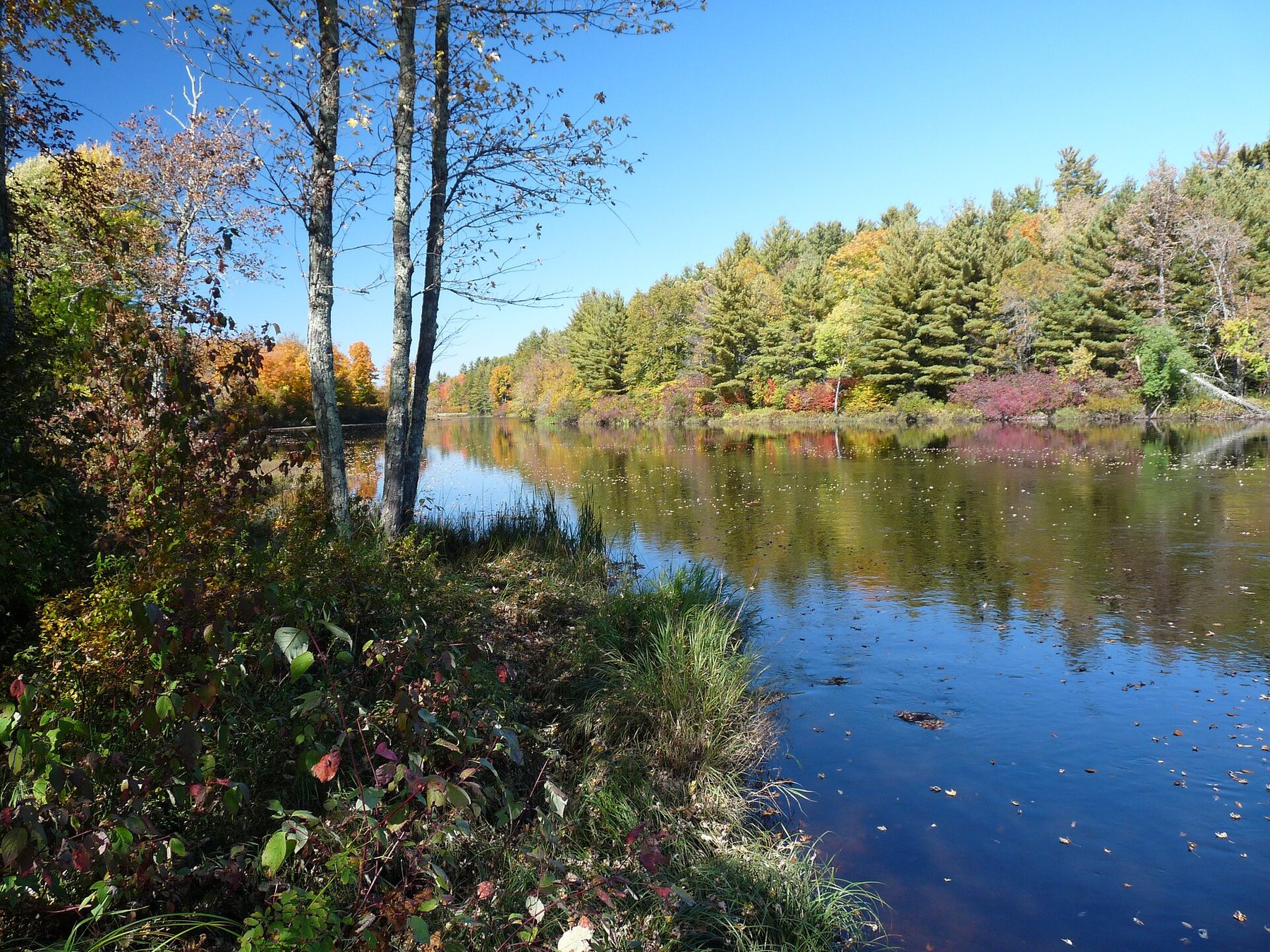
Route gallery
See this route on the water
Photos help show what the access looks like and what the route actually feels like on the water.
Sources
Check the data behind today's call.
Use this section when the page shows stale data, limited confidence, or a call you want to verify before driving.
Why this score Today's data confidence is checking
Data confidence mostly comes down to three things: how direct the gauge is, how clear the range is, and how fresh the data is.
- Checking data confidence notes.
- Checking data confidence cautions.
Outlook Tomorrow and weekend
This is a cautious early look. If the data is too thin, we leave it out.
Waiting on forecast.
Waiting on forecast.
Data behind the score Gauge, thresholds, and timing
These are the live readings and threshold notes behind today's score.
| Gauge site | Flambeau River Near Bruce, WI |
| Discharge | Checking |
| Gauge height | Checking |
| 24h trend | Checking |
| 24h change | Checking |
| Current band | Checking |
| Rain last 24h | Checking |
| Rain last 72h | Checking |
| Air temp | Checking |
| Water temp | Checking |
| Wind | Checking |
| Gusts | Checking |
| Rain timing | Checking |
| Ideal range | Needs paddler reports |
| Known low-water floor | 1,000 cfs |
| High threshold | Not calibrated yet |
| Data confidence behind the range | Partial source data |
| Gauge observed | Checking |
| Paddle Today updated | Checking |
| Main source behind this score | Manual downstream-proxy floor from WI DNR, Wisconsin Trail Guide, and American Whitewater route context |
| Gauge source | Checking |
| Weather source | Checking |
| Rainfall source | Checking |
Notes What to know before you go
These notes cover the access details, route quirks, and source caveats most likely to matter once you get there.
- Route shape County W to Hervas, about 14.2-15 mi
American Whitewater lists Babbs Island / CTH W to Hervas Camp Landing as 14.2 miles. Wisconsin DNR describes the comparable County Highway W to Hervas Camp Landing trip as 15 miles.
- Public landings Highway W, Camp 41, Hervas
Wisconsin DNR lists Highway W, Camp 41, and Hervas ramp as established North Fork Flambeau River State Forest landings with water/toilet access and overnight parking allowed for river camping.
- Endpoint coordinates 45.76812, -90.76075 to 45.64051, -90.83491
Wisconsin Trail Guide publishes NAD83 / WGS84 waypoints for Highway W Landing, Camp 41 Landing, and Hervas Camp Landing across the FN3 and FN4 guide PDFs.
- Whitewater character Class I-II boulder-bed rapids
American Whitewater describes the reach as having many marked, named low-grade boulder-bed rapids. Wisconsin Trail Guide names Porcupine Rapids, Wannigan Rapids, and Flambeau Falls in the Highway W-to-Hervas corridor.
- Camp 41 split option About 8.3 mi from Highway W
Wisconsin Trail Guide river-mile markers place Highway W Landing around mile 60.7 and Camp 41 Landing around mile 52.4, making Camp 41 the main split point before the final 6-mile run to Hervas.
- Gauge limitation No direct USGS gauge for this segment
Wisconsin Trail Guide explicitly says there is no USGS river gauge for the FN3/FN4 North Fork segments. The Bruce gauge is downstream on the main Flambeau and should be treated as a trend proxy, not a direct reach gauge.
- Proxy live gauge USGS 05360500 near Bruce
USGS operates the Flambeau River near Bruce monitoring location downstream of the route and below the forked-river corridor. It provides live discharge and stage for a cautious broader-corridor trend check.
Verify it yourself Check the source links
Use these links to double-check the gauge, route details, and access notes before you head out.
- WI DNR Paddling the Flambeau River
- WI DNR Paddle the Flambeau River booklet
- American Whitewater North Fork Flambeau - Babbs Island to Hervas
- Wisconsin Trail Guide Flambeau FN3
- Wisconsin Trail Guide FN3 PDF
- Wisconsin Trail Guide Flambeau FN4
- Wisconsin Trail Guide FN4 PDF
- USGS 05360500 Flambeau River Near Bruce
Paddler reports
Recent notes from paddlers
A few quick notes from people who were on this route recently.
Reports
Photos, paddler notes, and updates.
See what others have shared, then add a condition report, upload photos, or flag anything that needs fixing.
Share your trip
Keep exploring
More routes to check next
Compare another stretch on this river, or jump to nearby options before you pick a plan.
Quick answers
Flambeau River paddling FAQ
What water level is good for paddling Flambeau River?
Paddle Today watches Flambeau River Near Bruce, WI and uses 1,000 cfs as the conservative low-water floor for this route. The ideal range still needs more paddler reports.
Where does this Flambeau River route start and end?
This route starts at Highway W Landing and ends at Hervas Camp Landing, about 14.2 mi on the water.
Is this Flambeau River route good for beginners?
This is listed as a moderate route. Expect more planning than an easy float, and use the live score, route notes, and source links before committing.
Flag a change
See something outdated?
Access, hazards, wood, and shuttle details change. Send a quick correction if something looks off.