See all 2 routes on Middle River
Iowa | Central Iowa
Middle River
Schildberg Access to Roseman Covered Bridge Access
Check current paddling conditions for this Middle River route, including water level, recent gauge trend, weather, and route details.
Route snapshot
Loading the route snapshot. This usually takes a few seconds.
Today
Get the answer fast, then scan the route.
Start with the verdict, current conditions, route plan, and quick facts before you commit to the drive.
Today's conditions
Gauge
Recent trend
Checking preferred range.
Checking trend.
Gauge source
-- Checking timestampMN DNR provides the current paddling level here, but not chart-ready recent samples.
Weather
Best window today
Checking weather.
Today by hour
Short-route forecast
Checking the next several hours.
Quick facts
Plan
Dial in the shuttle, distance, and access.
Use this section once the route looks viable and you need to turn it into an actual trip plan.
Access plan
Access, shuttle, and map
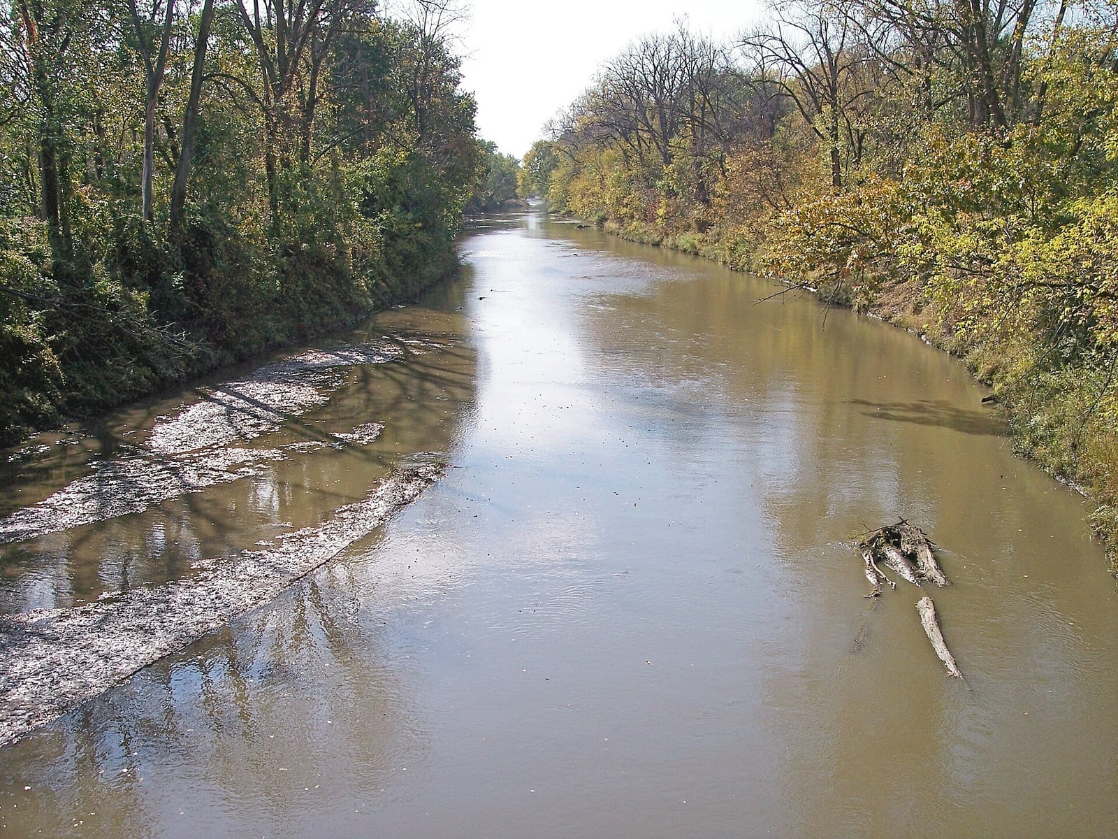
Launch from Schildberg Access #78 and take out at Roseman Covered Bridge Access #71. This official Middle River Water Trail section is short enough for a focused half-day, but the chutes, riffles, and shale ledge keep it more technical than a simple float.
Put-in
Schildberg Access #78 / Highway 92 Open mapSchildberg is a walk-down canoe/kayak access on river left near the northeast corner of the Highway 92 bridge.
Take-out
Roseman Covered Bridge Access #71 Open mapRoseman is a paved carry-down access at the covered bridge area; use the signed water-trail access rather than informal bridge-bank paths.
Pulling access map tiles. Usually under 5 seconds.
Access caveats
- Schildberg is a walk-down canoe/kayak access on river left near the northeast corner of the Highway 92 bridge.
- Roseman is a paved carry-down access at the covered bridge area; use the signed water-trail access rather than informal bridge-bank paths.
- The Indianola gauge is the official flow reference for Adair / Madison County but is downstream, so local rainfall and on-site scouting still matter.
Watch for
- Scattered chutes and riffles across timbered valleys and pasture bends.
- A moderately challenging shale ledge a few hundred yards upstream of the P53 bridge.
- Fallen trees, strainers, low-water dragging, and high-water push outside the 600-900 cfs optimum band.
Route gallery
See this route on the water
Photos help show what the access looks like and what the route actually feels like on the water.
Sources
Check the data behind today's call.
Use this section when the page shows stale data, limited confidence, or a call you want to verify before driving.
Why this score Today's data confidence is checking
Data confidence mostly comes down to three things: how direct the gauge is, how clear the range is, and how fresh the data is.
- Checking data confidence notes.
- Checking data confidence cautions.
Outlook Tomorrow and weekend
This is a cautious early look. If the data is too thin, we leave it out.
Waiting on forecast.
Waiting on forecast.
Data behind the score Gauge, thresholds, and timing
These are the live readings and threshold notes behind today's score.
| Gauge site | Middle River near Indianola, IA |
| Discharge | Checking |
| Gauge height | Checking |
| 24h trend | Checking |
| 24h change | Checking |
| Current band | Checking |
| Rain last 24h | Checking |
| Rain last 72h | Checking |
| Air temp | Checking |
| Water temp | Checking |
| Wind | Checking |
| Gusts | Checking |
| Rain timing | Checking |
| Target band | 600 cfs to 900 cfs |
| Low threshold | 600 cfs |
| High threshold | 900 cfs |
| Data confidence behind the range | Official data source |
| Gauge observed | Checking |
| Paddle Today updated | Checking |
| Main source behind this score | Iowa DNR / Middle River Water Trail map optimum-flow note |
| Gauge source | Checking |
| Weather source | Checking |
| Rainfall source | Checking |
Notes What to know before you go
These notes cover the access details, route quirks, and source caveats most likely to matter once you get there.
- Official route Access #78 to Access #71
Madison County says Roseman Covered Bridge Access is about 7 river miles downstream from Schildberg Access, through timbered valleys and open pasture.
- Endpoint support Schildberg and Roseman accesses
The Middle River Water Trail map lists Schildberg Access #78 and Roseman Access #71 with carry-down canoe access, surface type, distance to next access, gradient, estimated time, and UTM coordinates.
- Optimum flow 600 to 900 cfs
The official map says optimum flow for Adair / Madison County is 600 to 900 cfs at the Indianola station and points paddlers to USGS real-time Middle River data.
- Direct gauge USGS 05486490
USGS operates Middle River near Indianola, IA, a downstream same-river station that the official water-trail map uses for the Adair / Madison County optimum-flow note.
- Hazards Chutes, riffles, shale ledge
Madison County calls out a moderately challenging shale ledge a few hundred yards upstream of the P53 bridge, along with chutes and riffles across this reach.
Verify it yourself Check the source links
Use these links to double-check the gauge, route details, and access notes before you head out.
Paddler reports
Recent notes from paddlers
A few quick notes from people who were on this route recently.
Reports
Photos, paddler notes, and updates.
See what others have shared, then add a condition report, upload photos, or flag anything that needs fixing.
Share your trip
Keep exploring
More routes to check next
Compare another stretch on this river, or jump to nearby options before you pick a plan.
Quick answers
Middle River paddling FAQ
What water level is good for paddling Middle River?
Paddle Today watches Middle River near Indianola, IA and treats 600 cfs to 900 cfs as the target band for this route, with weather and recent trend included in the final score.
Where does this Middle River route start and end?
This route starts at Schildberg Access #78 / Highway 92 and ends at Roseman Covered Bridge Access #71, about About 6.9 mi on the water.
Is this Middle River route good for beginners?
This is listed as a moderate route. Expect more planning than an easy float, and use the live score, route notes, and source links before committing.
Flag a change
See something outdated?
Access, hazards, wood, and shuttle details change. Send a quick correction if something looks off.