Minnesota | Mankato Area
Blue Earth River
Rapidan Dam Park to County Road 90
Check current paddling conditions for this Blue Earth River route, including water level, recent gauge trend, weather, and route details.
Route snapshot
Loading the route snapshot. This usually takes a few seconds.
Today
Get the answer fast, then scan the route.
Start with the verdict, current conditions, route plan, and quick facts before you commit to the drive.
Today's conditions
Gauge
Recent trend
Checking preferred range.
Checking trend.
Gauge source
-- Checking timestampMN DNR provides the current paddling level here, but not chart-ready recent samples.
Weather
Best window today
Checking weather.
Today by hour
Short-route forecast
Checking the next several hours.
Quick facts
Plan
Dial in the shuttle, distance, and access.
Use this section once the route looks viable and you need to turn it into an actual trip plan.
Access plan
Access, shuttle, and map
Put in at Rapidan Dam Park and take out at County Road 90 for the DNR-recommended hard Blue Earth run. The Rapidan gauge gives this route a real level ladder, but the rapids and dam context still deserve experienced judgment.
Put-in
Rapidan Dam Park carry-in access Open mapRapidan Dam Park is the stronger endpoint because Blue Earth County directly manages the canoe launch and campground there.
Take-out
County Road 90 bridge access Open mapCounty Road 90 is clearly documented by MN DNR as the take-out, but it still lacks the cleaner standalone access page you get on the best county-park finishes, so confirm landing and parking conditions on site.
Pulling access map tiles. Usually under 5 seconds.
Access caveats
- Rapidan Dam Park is the stronger endpoint because Blue Earth County directly manages the canoe launch and campground there.
- County Road 90 is clearly documented by MN DNR as the take-out, but it still lacks the cleaner standalone access page you get on the best county-park finishes, so confirm landing and parking conditions on site.
Watch for
- Rapidan Dam hazard and any signed portage or exclusion zones near the put-in corridor.
- Class I rapids and a stronger current than the easy day-trip rivers in the app.
- Fast rises, waves, and fresh debris after rain.
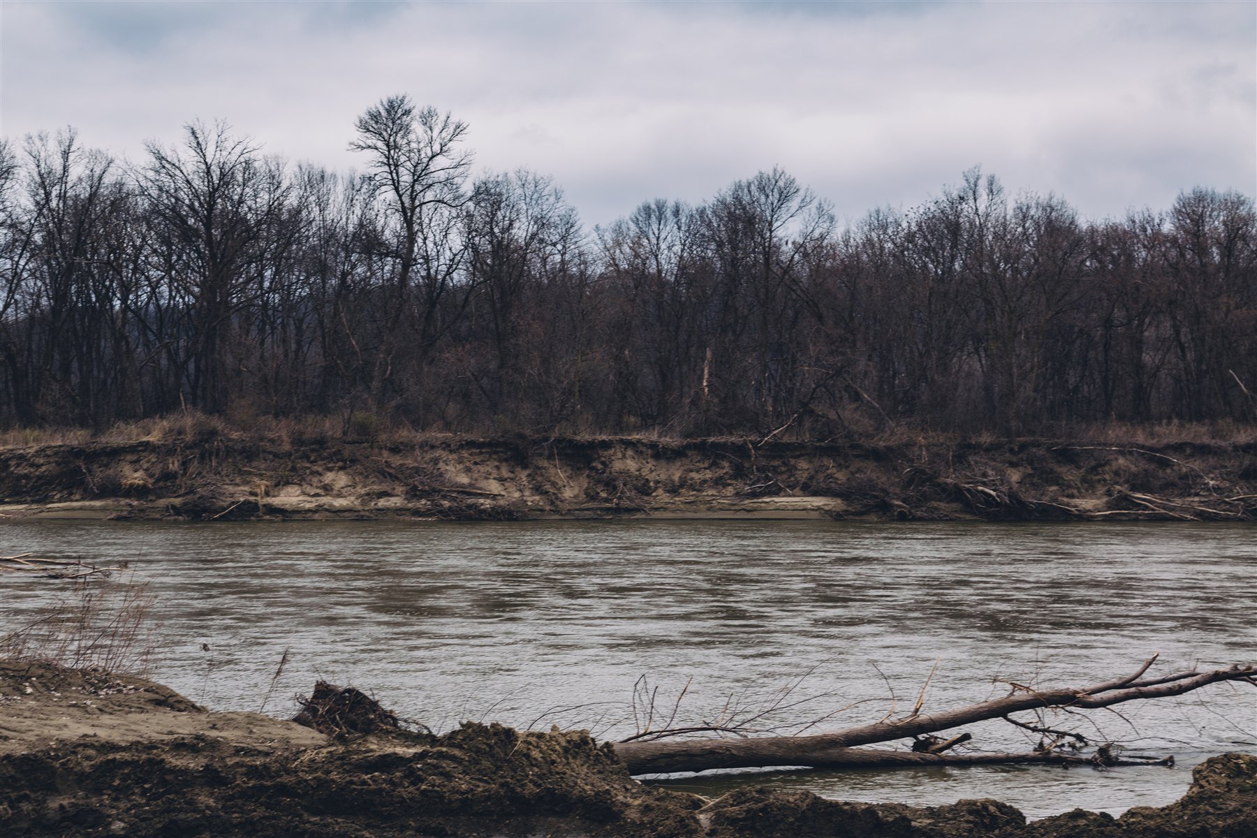
Route gallery
See this route on the water
Photos help show what the access looks like and what the route actually feels like on the water.
Sources
Check the data behind today's call.
Use this section when the page shows stale data, limited confidence, or a call you want to verify before driving.
Why this score Today's data confidence is checking
Data confidence mostly comes down to three things: how direct the gauge is, how clear the range is, and how fresh the data is.
- Checking data confidence notes.
- Checking data confidence cautions.
Outlook Tomorrow and weekend
This is a cautious early look. If the data is too thin, we leave it out.
Waiting on forecast.
Waiting on forecast.
Data behind the score Gauge, thresholds, and timing
These are the live readings and threshold notes behind today's score.
| Gauge site | Blue Earth River near Rapidan, MN |
| Gauge height | Checking |
| Discharge | Checking |
| 24h trend | Checking |
| 24h change | Checking |
| Current band | Checking |
| Rain last 24h | Checking |
| Rain last 72h | Checking |
| Air temp | Checking |
| Water temp | Checking |
| Wind | Checking |
| Gusts | Checking |
| Rain timing | Checking |
| Target band | 4.00 ft to 6.00 ft |
| Low threshold | 2.00 ft |
| High threshold | 15.00 ft |
| Data confidence behind the range | Official data source |
| Gauge observed | Checking |
| Paddle Today updated | Checking |
| Main source behind this score | MN DNR river-level interpretation bands for Blue Earth River near Rapidan |
| Gauge source | Checking |
| Weather source | Checking |
| Rainfall source | Checking |
Notes What to know before you go
These notes cover the access details, route quirks, and source caveats most likely to matter once you get there.
- DNR bands 2.0 / 4.0 / 6.0 / 15.0 ft
MN DNR interprets this gauge as Scrapable below 2.0 ft, Low from 2.0 to 4.0, Medium from 4.0 to 6.0, High from 6.0 to 15.0, and Very High above 15.0.
- Recommended trip 9.1 river miles
MN DNR treats Rapidan Dam Park to County Road 90 as the recommended Blue Earth day trip and explicitly marks it for experienced paddlers.
- Primary hazards Rapids, dam context, post-rain push
MN DNR warns about Rapidan Dam, Class I rapids, and rainfall-driven fast water and waves on this corridor.
- Put-in support County park launch and camping
Blue Earth County manages Rapidan Dam Park and identifies a canoe launch, campground, and posted park operations there.
- Difficulty Hard
Worth adding because the route is complete and well supported, but it is not the same kind of beginner-friendly product citizen as the easy Cannon or Root reaches.
Verify it yourself Check the source links
Use these links to double-check the gauge, route details, and access notes before you head out.
Paddler reports
Recent notes from paddlers
A few quick notes from people who were on this route recently.
Reports
Photos, paddler notes, and updates.
See what others have shared, then add a condition report, upload photos, or flag anything that needs fixing.
Share your trip
Keep exploring
More routes to check next
Compare another stretch on this river, or jump to nearby options before you pick a plan.
More in Minnesota
All 46 routesNearby routes by distance
Quick answers
Blue Earth River paddling FAQ
What water level is good for paddling Blue Earth River?
Paddle Today watches Blue Earth River near Rapidan, MN and treats 4.00 ft to 6.00 ft as the target band for this route, with weather and recent trend included in the final score.
Where does this Blue Earth River route start and end?
This route starts at Rapidan Dam Park carry-in access and ends at County Road 90 bridge access, about 9.1 mi on the water.
Is this Blue Earth River route good for beginners?
This is listed as a hard route. Treat the live score as a planning aid, then confirm conditions, hazards, access, and group skill before launching.
Flag a change
See something outdated?
Access, hazards, wood, and shuttle details change. Send a quick correction if something looks off.