Missouri | Southwest Missouri
Shoal Creek
Tipton Ford Access to Wildcat Access
Check current paddling conditions for this Shoal Creek route, including water level, recent gauge trend, weather, and route details.
Route snapshot
Loading the route snapshot. This usually takes a few seconds.
Today
Get the answer fast, then scan the route.
Start with the verdict, current conditions, route plan, and quick facts before you commit to the drive.
Today's conditions
Gauge
Recent trend
Checking preferred range.
Checking trend.
Gauge source
-- Checking timestampMN DNR provides the current paddling level here, but not chart-ready recent samples.
Weather
Best window today
Checking weather.
Today by hour
Short-route forecast
Checking the next several hours.
Quick facts
Plan
Dial in the shuttle, distance, and access.
Use this section once the route looks viable and you need to turn it into an actual trip plan.
Access plan
Access, shuttle, and map
Launch at MDC Tipton Ford Access and take out at MDC Wildcat Access for a 6.9-mile lower Shoal Creek day in the Joplin area. Use the Joplin USGS gauge as a conservative low-water check, then make a same-day call for wood, high-water current, and bridge approaches.
Put-in
Tipton Ford Access Open mapTipton Ford is an MDC public access with a small-boat concrete ramp and parking, but posted signs and area maps control exact use.
Take-out
Wildcat Access Open mapWildcat Access is an MDC / City of Joplin public access with a boat ramp and parking, but it sits in a busy recreation corridor; inspect the landing before launching upstream.
Pulling access map tiles. Usually under 5 seconds.
Access caveats
- Tipton Ford is an MDC public access with a small-boat concrete ramp and parking, but posted signs and area maps control exact use.
- Wildcat Access is an MDC / City of Joplin public access with a boat ramp and parking, but it sits in a busy recreation corridor; inspect the landing before launching upstream.
- Coordinates are practical access anchors from public paddling/location records paired with MDC access confirmation; follow on-site signs for the exact ramp, parking, and any temporary restrictions.
Watch for
- Dragging, shallow chert riffles, and possible walking when the Joplin gauge is near or below the 225 cfs floor.
- High or rising water after rain, especially split channels, pushy bridge current, strainers, and log jams.
- The Highway 171 area, where MoHERP high-water trip notes warn of a treacherous split channel and capsizes.
- Class I-II riffles, chert ledges, brush piles, root wads, anglers, swimmers, and local park users near Wildcat.
- Private land away from public accesses and lawful gravel-bar stops; do not assume banks are public picnic or camping areas.
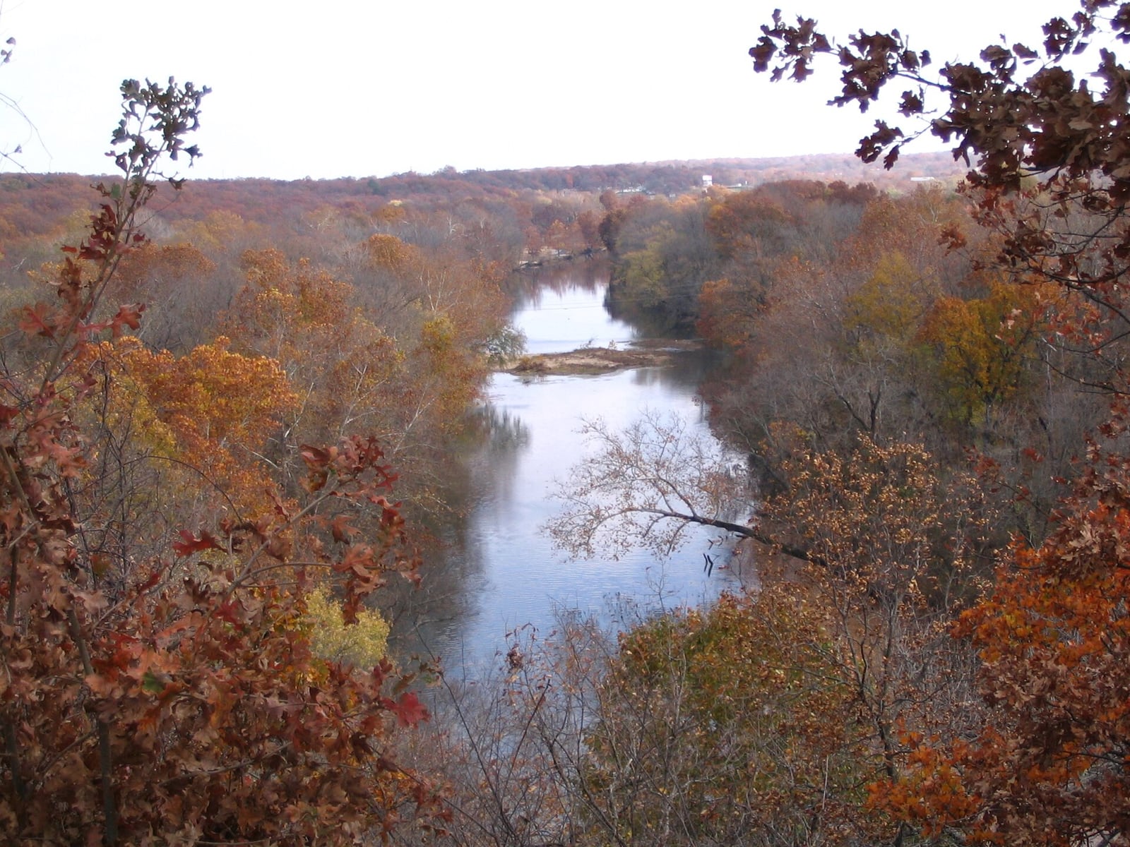
Route gallery
See this route on the water
Photos help show what the access looks like and what the route actually feels like on the water.
Sources
Check the data behind today's call.
Use this section when the page shows stale data, limited confidence, or a call you want to verify before driving.
Why this score Today's data confidence is checking
Data confidence mostly comes down to three things: how direct the gauge is, how clear the range is, and how fresh the data is.
- Checking data confidence notes.
- Checking data confidence cautions.
Outlook Tomorrow and weekend
This is a cautious early look. If the data is too thin, we leave it out.
Waiting on forecast.
Waiting on forecast.
Data behind the score Gauge, thresholds, and timing
These are the live readings and threshold notes behind today's score.
| Gauge site | Shoal Creek above Joplin, MO |
| Discharge | Checking |
| Gauge height | Checking |
| 24h trend | Checking |
| 24h change | Checking |
| Current band | Checking |
| Rain last 24h | Checking |
| Rain last 72h | Checking |
| Air temp | Checking |
| Water temp | Checking |
| Wind | Checking |
| Gusts | Checking |
| Rain timing | Checking |
| Ideal range | Needs paddler reports |
| Known low-water floor | 225 cfs |
| High threshold | Not calibrated yet |
| Data confidence behind the range | Local route guidance |
| Gauge observed | Checking |
| Paddle Today updated | Checking |
| Main source behind this score | Rivers.MOHERP Joplin gauge ratings and lower Shoal Creek trip logs |
| Gauge source | Checking |
| Weather source | Checking |
| Rainfall source | Checking |
Notes What to know before you go
These notes cover the access details, route quirks, and source caveats most likely to matter once you get there.
- Public put-in MDC Tipton Ford Access
MDC says Tipton Ford Access was acquired to provide Shoal Creek access and includes a concrete ramp and parking lot for small boats.
- Public take-out MDC Wildcat Access
MDC says Wildcat Access provides Shoal Creek access through a City of Joplin partnership, with a parking lot and boat ramp.
- Official route spacing 6.9 river miles
MDC planning material says Wildcat Access lies 6.9 river miles downstream of Tipton Ford Access.
- Direct gauge USGS 07187000
USGS operates Shoal Creek above Joplin, MO, and the official legacy page showed same-day May 30, 2026 discharge and gage-height values during review.
- Low-water floor 225 cfs minimum-only
Rivers.MOHERP lower-Shoal trip rows include good-condition reports around 229, 240, 408, and 765 cfs on the Joplin gauge. The app uses a conservative 225 cfs floor and does not infer an ideal range.
- High-water caution High reports include capsizes
A MoHERP Tipton-Ford-to-Wildcat trip at 1,370 cfs was marked high and noted a treacherous split channel with many capsizes after the Highway 171 bridge. Treat high or rising water as unsuitable for casual trips.
- Route character Class I-II chert-bed creek
National Rivers Project describes the broader Smack Out-to-Wildcat Shoal Creek corridor as swift-flowing Class I-II water with chert bedrock, pools, runs, and public MDC access points including Tipton Ford and Wildcat Glade.
Verify it yourself Check the source links
Use these links to double-check the gauge, route details, and access notes before you head out.
Paddler reports
Recent notes from paddlers
A few quick notes from people who were on this route recently.
Reports
Photos, paddler notes, and updates.
See what others have shared, then add a condition report, upload photos, or flag anything that needs fixing.
Share your trip
Keep exploring
More routes to check next
Compare another stretch on this river, or jump to nearby options before you pick a plan.
More in Missouri
All 34 routesNearby routes by distance
Quick answers
Shoal Creek paddling FAQ
What water level is good for paddling Shoal Creek?
Paddle Today watches Shoal Creek above Joplin, MO and uses 225 cfs as the conservative low-water floor for this route. The ideal range still needs more paddler reports.
Where does this Shoal Creek route start and end?
This route starts at Tipton Ford Access and ends at Wildcat Access, about About 6.9 mi on the water.
Is this Shoal Creek route good for beginners?
This is listed as a moderate route. Expect more planning than an easy float, and use the live score, route notes, and source links before committing.
Flag a change
See something outdated?
Access, hazards, wood, and shuttle details change. Send a quick correction if something looks off.