State routes
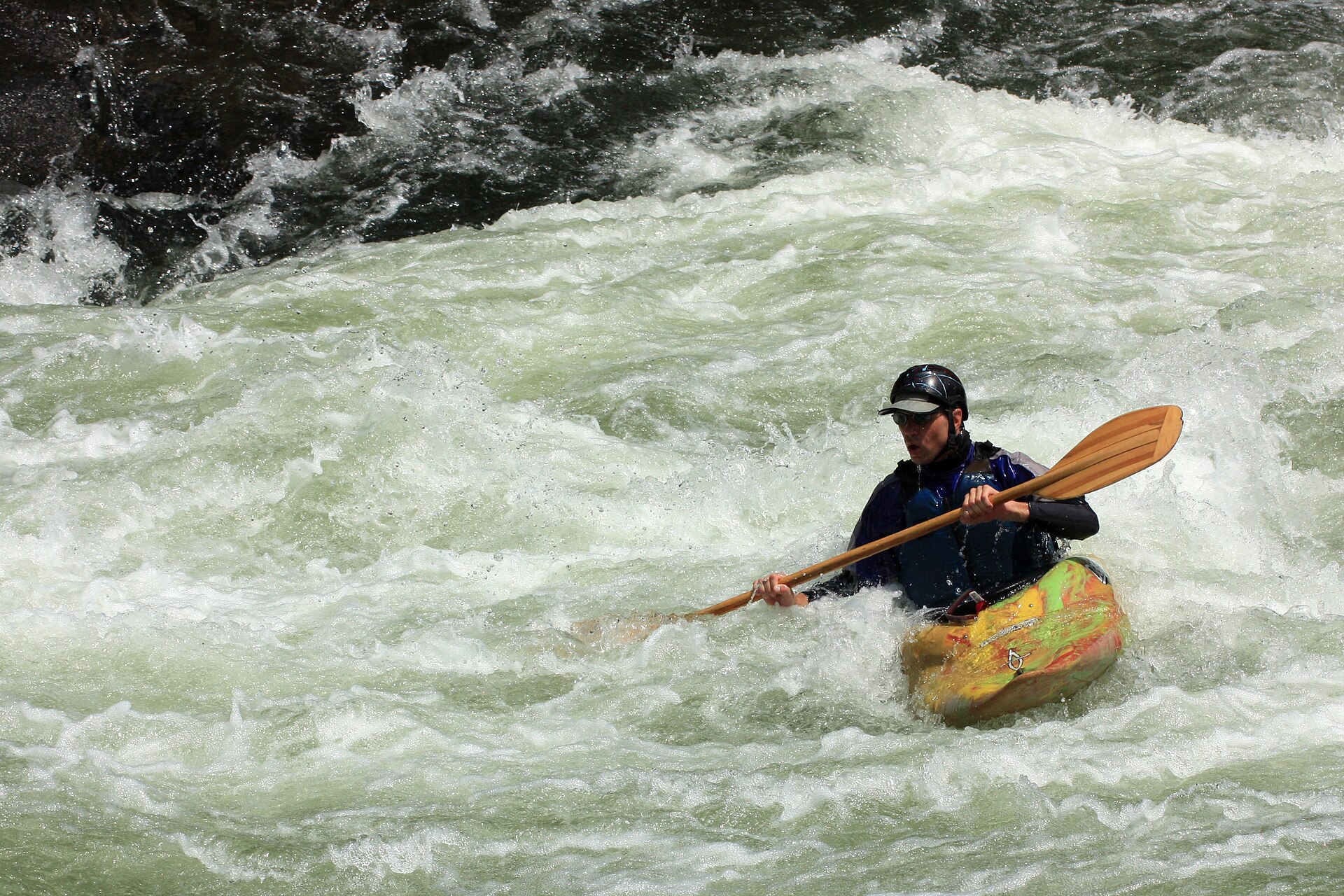
Pennsylvania Rivers
Compare 2 tracked Pennsylvania paddle routes with route links, water-level context, difficulty, and access planning details.
Paddle Today only lists routes when the gauge, threshold, and source support are defensible enough for live route scoring.
Showing route starts. Interactive map loading.
Coverage snapshot
Where Paddle Today tracks Pennsylvania
Use the map to scan route density, then start with beginner routes, planning routes, or the full directory below.
Live conditions
Best Pennsylvania routes today
Loading current scores, gauge reads, and weather signals.
Lehigh River
White Haven to Rockport
Hard | About 8.7 mi | About 3 hr to 5 hr for qualified whitewater groups, longer with low water, release crowds, scouting, or a conservative take-out planYoughiogheny River
Lower Yough: Ohiopyle to Bruner Run
Hard | About 7 to 7.2 mi | About 3 hr to 5 hr for qualified whitewater groups, longer with scouting, portages, crowds, or high-water spacingThis panel hydrates from live Paddle Today scores. The route links above remain useful when JavaScript or the score API is unavailable.
Best route options
Good starting points in Pennsylvania
Ranked from route metadata, source support, difficulty, and logistics.

Route facts
Route facts
Weekend planning
Routes with practical logistics
Use the live weekend board for score-based recommendations.
Browse coverage
Rivers and regions
Compact directory links for crawlers and planners.
By river
Lehigh River 1
Youghiogheny River 1
By region
Laurel Highlands 1
Pocono Mountains 1
Need broader planning context?
Weekend board Explore all routes Request a routeAll tracked routes
Every Pennsylvania route on Paddle Today
2 server-rendered route links.
Showing all 2 routes.
Quick answers
Pennsylvania paddling FAQ
How does Paddle Today choose Pennsylvania paddle routes?
Paddle Today lists Pennsylvania routes when the route has enough defensible gauge, threshold, source, and logistics support to make a live route score useful. The current Pennsylvania page includes 2 tracked routes across 2 rivers.
Are these Pennsylvania river conditions live?
The route links on this page are server-rendered and crawlable. Each route page then checks live gauge readings, weather, water-level context, and route score data before you make a same-day call.
Can I request another Pennsylvania route?
Yes. Use the request form to send the river, reach, access points, and any source links. Paddle Today prioritizes routes where a public gauge or defensible threshold support can back the live score.