See all 2 routes on Vermilion River
Illinois | North-Central Illinois
Vermilion River
Lowell to Oglesby Boat Launch
Check current paddling conditions for this Vermilion River route, including water level, recent gauge trend, weather, and route details.
Route snapshot
Loading the route snapshot. This usually takes a few seconds.
Today
Get the answer fast, then scan the route.
Start with the verdict, current conditions, route plan, and quick facts before you commit to the drive.
Today's conditions
Gauge
Recent trend
Checking preferred range.
Checking trend.
Gauge source
-- Checking timestampMN DNR provides the current paddling level here, but not chart-ready recent samples.
Weather
Best window today
Checking weather.
Today by hour
Short-route forecast
Checking the next several hours.
Quick facts
Plan
Dial in the shuttle, distance, and access.
Use this section once the route looks viable and you need to turn it into an actual trip plan.
Access plan
Access, shuttle, and map
Launch at the Lowell-side rafting put-in and take out at the Oglesby Vermilion River Boat Launch. The route follows American Whitewater's Wildcat Canyon reach through Matthiessen-area bluffs, pool-drop rapids, and the former cement-dam corridor.
Put-in
Lowell / Vermillion River Rafting put-in Open mapAmerican Whitewater specifically says access from N.2219th Road is no longer advised because of private-property concerns; use the Lowell rafting access instead.
Take-out
Oglesby Vermilion River Boat Launch Open mapThe take-out is a city-built public boat ramp with limited parking, so leave room for other boaters and rafting groups.
Pulling access map tiles. Usually under 5 seconds.
Access caveats
- American Whitewater specifically says access from N.2219th Road is no longer advised because of private-property concerns; use the Lowell rafting access instead.
- The take-out is a city-built public boat ramp with limited parking, so leave room for other boaters and rafting groups.
- Some side canyons and former industrial/state-addition lands are not necessarily open for public hiking, scouting, or portaging even when the river itself is runnable.
Watch for
- Wildcat, a Class III rapid that changes character with flow and has multiple lines depending on level.
- Pushy current, large wave trains, and harder swims when the Leonore gauge climbs above the conservative target window.
- Cold water, strainers, wood piles, limited legal scout/portage options, and commercial rafting traffic.
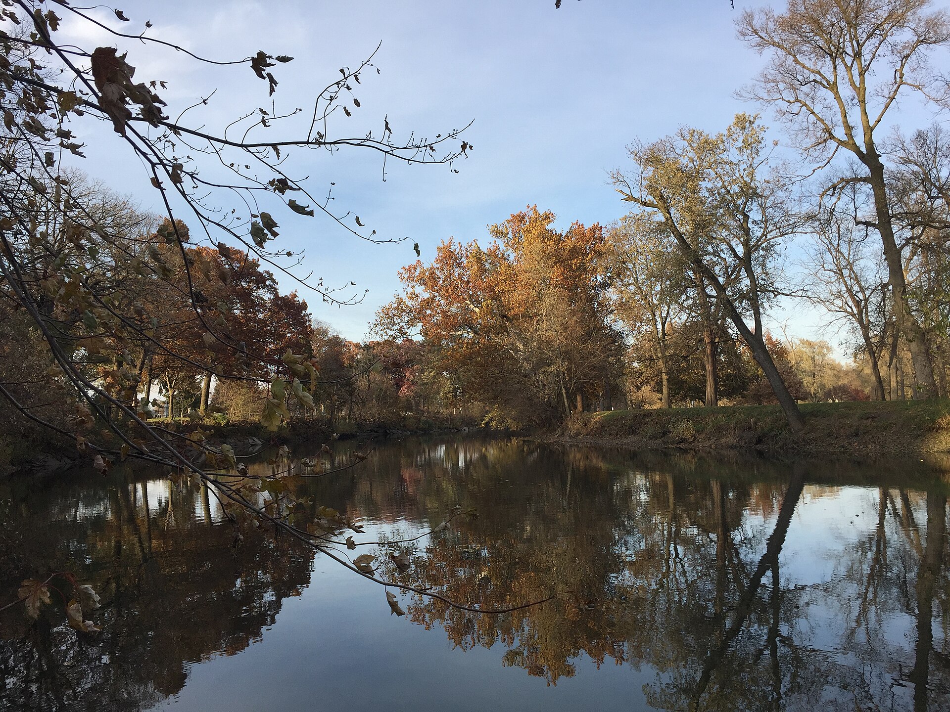
Route gallery
See this route on the water
Photos help show what the access looks like and what the route actually feels like on the water.
Sources
Check the data behind today's call.
Use this section when the page shows stale data, limited confidence, or a call you want to verify before driving.
Why this score Today's data confidence is checking
Data confidence mostly comes down to three things: how direct the gauge is, how clear the range is, and how fresh the data is.
- Checking data confidence notes.
- Checking data confidence cautions.
Outlook Tomorrow and weekend
This is a cautious early look. If the data is too thin, we leave it out.
Waiting on forecast.
Waiting on forecast.
Data behind the score Gauge, thresholds, and timing
These are the live readings and threshold notes behind today's score.
| Gauge site | Vermilion River Near Leonore, IL |
| Discharge | Checking |
| Gauge height | Checking |
| 24h trend | Checking |
| 24h change | Checking |
| Current band | Checking |
| Rain last 24h | Checking |
| Rain last 72h | Checking |
| Air temp | Checking |
| Water temp | Checking |
| Wind | Checking |
| Gusts | Checking |
| Rain timing | Checking |
| Target band | 1,000 cfs to 3,000 cfs |
| Low threshold | 500 cfs |
| High threshold | 12,000 cfs |
| Data confidence behind the range | Official and local sources |
| Gauge observed | Checking |
| Paddle Today updated | Checking |
| Main source behind this score | American Whitewater Vermilion / Wildcat Canyon flow correlation |
| Gauge source | Checking |
| Weather source | Checking |
| Rainfall source | Checking |
Notes What to know before you go
These notes cover the access details, route quirks, and source caveats most likely to matter once you get there.
- Whitewater reach 8.15 miles, Class II-III
American Whitewater lists the route as N.2249th Road to the landing off Ed Hand Highway, with II-III difficulty and named features including Wildcat, Railroad, and The Narrows.
- Gauge range 500 to 12,000 cfs runnable correlation
American Whitewater ties the reach to USGS 05555300 at Leonore and exposes a low-runnable to high-runnable flow correlation in cfs.
- Best-zone rationale 1,000 to 3,000 cfs conservative target
The app uses a narrower target than the full AW runnable range: AW says the river becomes good and pushy over 1,000 cfs, and trip-report evidence at roughly 3,000 cfs reads as high-water whitewater rather than a normal broad recommendation.
- Take-out access Oglesby Vermilion River Boat Ramp
The City of Oglesby describes the lower Vermilion boat ramp as a take-out for rafting, canoeing, and kayaking, with a launch and parking.
- Public-facing route context 14 rapids, 9.5-mile outfitter trip
Enjoy Illinois and Vermillion River Rafting describe guided/self-guided rafting on this Lowell-to-Oglesby corridor, supporting the route as a normal local paddling use pattern rather than a speculative line.
Verify it yourself Check the source links
Use these links to double-check the gauge, route details, and access notes before you head out.
Paddler reports
Recent notes from paddlers
A few quick notes from people who were on this route recently.
Reports
Photos, paddler notes, and updates.
See what others have shared, then add a condition report, upload photos, or flag anything that needs fixing.
Share your trip
Keep exploring
More routes to check next
Compare another stretch on this river, or jump to nearby options before you pick a plan.
Quick answers
Vermilion River paddling FAQ
What water level is good for paddling Vermilion River?
Paddle Today watches Vermilion River Near Leonore, IL and treats 1,000 cfs to 3,000 cfs as the target band for this route, with weather and recent trend included in the final score.
Where does this Vermilion River route start and end?
This route starts at Lowell / Vermillion River Rafting put-in and ends at Oglesby Vermilion River Boat Launch, about 8.2 mi on the water.
Is this Vermilion River route good for beginners?
This is listed as a hard route. Treat the live score as a planning aid, then confirm conditions, hazards, access, and group skill before launching.
Flag a change
See something outdated?
Access, hazards, wood, and shuttle details change. Send a quick correction if something looks off.