Missouri | Missouri Ozarks
Bryant Creek
Sycamore Access to Warren Bridge Access
Check current paddling conditions for this Bryant Creek route, including water level, recent gauge trend, weather, and route details.
Route snapshot
Loading the route snapshot. This usually takes a few seconds.
Today
Get the answer fast, then scan the route.
Start with the verdict, current conditions, route plan, and quick facts before you commit to the drive.
Today's conditions
Gauge
Recent trend
Checking preferred range.
Checking trend.
Gauge source
-- Checking timestampMN DNR provides the current paddling level here, but not chart-ready recent samples.
Weather
Best window today
Checking weather.
Today by hour
Short-route forecast
Checking the next several hours.
Quick facts
Plan
Dial in the shuttle, distance, and access.
Use this section once the route looks viable and you need to turn it into an actual trip plan.
Access plan
Access, shuttle, and map
Launch at MDC Sycamore Access just downstream of the Highway 181 bridge by Hodgson Mill and take out at MDC Warren Bridge Access. This is the standard upper-to-middle Bryant Creek day float, with a direct Tecumseh gauge used as a conservative low-water check.
Put-in
Sycamore Access / Hodgson Mill Open mapSycamore Access is the public MDC launch; nearby Hodgson Water Mill is private, so use the access area and posted signs rather than mill property.
Take-out
Warren Bridge Access Open mapWarren Bridge Access is currently listed by MDC as fishing and floating access, but older flood-damage reporting described rough or closed conditions there. Scout the take-out before committing and obey any current closures or signs.
Pulling access map tiles. Usually under 5 seconds.
Access caveats
- Sycamore Access is the public MDC launch; nearby Hodgson Water Mill is private, so use the access area and posted signs rather than mill property.
- Warren Bridge Access is currently listed by MDC as fishing and floating access, but older flood-damage reporting described rough or closed conditions there. Scout the take-out before committing and obey any current closures or signs.
- Put-in coordinates are anchored to the adjacent Hodgson-Aid Mill / Highway 181 crossing context because MDC describes Sycamore Access by its position below that bridge; use on-site signage for the exact gravel launch.
Watch for
- Shallow shoals, gravel scraping, and slower travel when the Tecumseh gauge falls near or below the 300 cfs floor.
- Swift narrow-channel current, tight bends, limestone bluffs, low-water bridge areas, and possible strainers or fresh wood after storms.
- Loose gravel, deep sand, changed banks, and limited recovery options at access roads after floods or high-water events.
- Private property along Bryant Creek away from public access points and lawful gravel-bar stops.
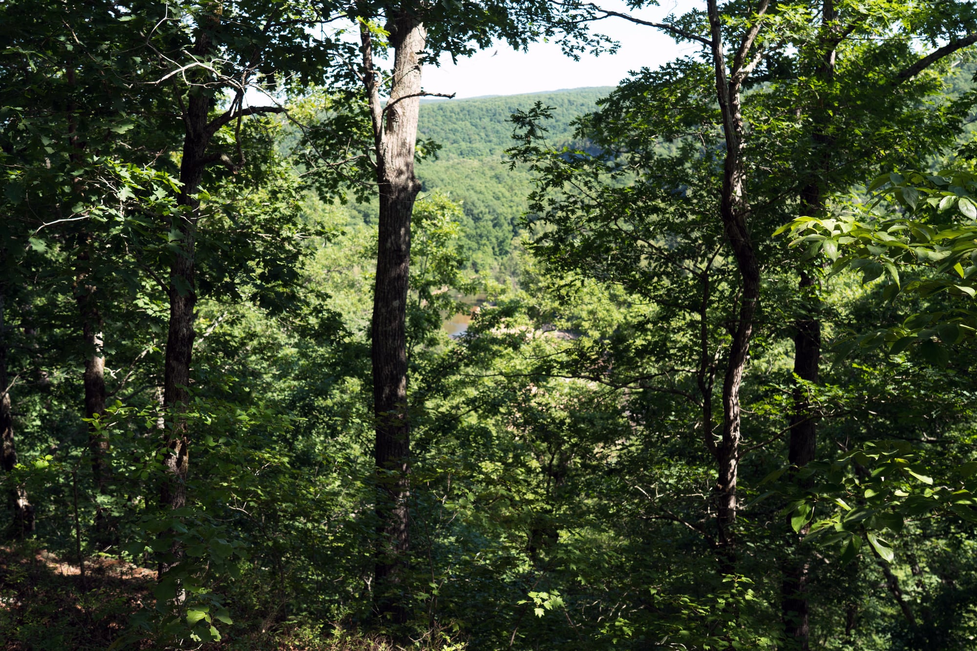
Route gallery
See this route on the water
Photos help show what the access looks like and what the route actually feels like on the water.
Sources
Check the data behind today's call.
Use this section when the page shows stale data, limited confidence, or a call you want to verify before driving.
Why this score Today's data confidence is checking
Data confidence mostly comes down to three things: how direct the gauge is, how clear the range is, and how fresh the data is.
- Checking data confidence notes.
- Checking data confidence cautions.
Outlook Tomorrow and weekend
This is a cautious early look. If the data is too thin, we leave it out.
Waiting on forecast.
Waiting on forecast.
Data behind the score Gauge, thresholds, and timing
These are the live readings and threshold notes behind today's score.
| Gauge site | Bryant Creek near Tecumseh, MO |
| Discharge | Checking |
| Gauge height | Checking |
| 24h trend | Checking |
| 24h change | Checking |
| Current band | Checking |
| Rain last 24h | Checking |
| Rain last 72h | Checking |
| Air temp | Checking |
| Water temp | Checking |
| Wind | Checking |
| Gusts | Checking |
| Rain timing | Checking |
| Ideal range | Needs paddler reports |
| Known low-water floor | 300 cfs |
| High threshold | Not calibrated yet |
| Data confidence behind the range | Local route guidance |
| Gauge observed | Checking |
| Paddle Today updated | Checking |
| Main source behind this score | Rivers.MOHERP Tecumseh gauge rating and Bryant Creek trip logs |
| Gauge source | Checking |
| Weather source | Checking |
| Rainfall source | Checking |
Notes What to know before you go
These notes cover the access details, route quirks, and source caveats most likely to matter once you get there.
- Public put-in Sycamore Access / Hodgson Mill
MDC says Sycamore Access is on Bryant Creek downstream of the Highway 181 bridge, adjacent to historic Hodgson Water Mill, and serves as a popular launching point for canoeists and kayakers floating the upper Bryant.
- Public take-out Warren Bridge Access
MDC says Warren Bridge Access provides fishing and floating access to Bryant Creek and gives directions from Dora via Highway 181, Route H, and County Road 328.
- Route shape About 7 to 7.6 river miles
Public Bryant Creek guides identify Hodgson Mill or Sycamore Access to Warren Bridge as a standard day float, with mileage around 7 to 7.6 miles and typical travel time around 4 to 5 hours.
- Direct gauge USGS 07058000
USGS operates Bryant Creek near Tecumseh, MO. The legacy current-conditions page showed same-day discharge and gage-height observations during the May 26, 2026 review.
- Low-water floor 300 cfs minimum-only
Rivers.MOHERP rates the Bryant Creek Tecumseh gauge good beginning at 300 cfs and includes exact Hodgson Mill-to-Warren Bridge trip evidence plus nearby Bryant Creek good-condition trips around that floor.
- Access history Flood-damage caution
Older local reporting after the 2017 floods described Warren Bridge as officially closed and Sycamore as rough with loose gravel and deep sand. Current MDC pages list both areas as public access, but the route notes keep a same-day access/scouting caution.
Verify it yourself Check the source links
Use these links to double-check the gauge, route details, and access notes before you head out.
Paddler reports
Recent notes from paddlers
A few quick notes from people who were on this route recently.
Reports
Photos, paddler notes, and updates.
See what others have shared, then add a condition report, upload photos, or flag anything that needs fixing.
Share your trip
Keep exploring
More routes to check next
Compare another stretch on this river, or jump to nearby options before you pick a plan.
Quick answers
Bryant Creek paddling FAQ
What water level is good for paddling Bryant Creek?
Paddle Today watches Bryant Creek near Tecumseh, MO and uses 300 cfs as the conservative low-water floor for this route. The ideal range still needs more paddler reports.
Where does this Bryant Creek route start and end?
This route starts at Sycamore Access / Hodgson Mill and ends at Warren Bridge Access, about About 7 to 7.6 mi on the water.
Is this Bryant Creek route good for beginners?
This is listed as a moderate route. Expect more planning than an easy float, and use the live score, route notes, and source links before committing.
Flag a change
See something outdated?
Access, hazards, wood, and shuttle details change. Send a quick correction if something looks off.