See all 4 routes on Root River
Minnesota | Southeast Minnesota
Root River
Lanesboro to Peterson
Check current paddling conditions for this Root River route, including water level, recent gauge trend, weather, and route details.
Route snapshot
Loading the route snapshot. This usually takes a few seconds.
Today
Get the answer fast, then scan the route.
Start with the verdict, current conditions, route plan, and quick facts before you commit to the drive.
Today's conditions
Gauge
Recent trend
Checking preferred range.
Checking trend.
Gauge source
-- Checking timestampMN DNR provides the current paddling level here, but not chart-ready recent samples.
Weather
Best window today
Checking weather.
Today by hour
Short-route forecast
Checking the next several hours.
Quick facts
Plan
Dial in the shuttle, distance, and access.
Use this section once the route looks viable and you need to turn it into an actual trip plan.
Access plan
Access, shuttle, and map
Put in at the Hwy 16 access in Lanesboro and take out at the Hwy 16 access in Peterson. This is one of the cleaner Root River shuttle days, but low-water riffles and changing access details still deserve a same-day check.
Put-in
Highway 16 / Lanesboro access Open mapBoth endpoints are supported by MN DNR public water access records, and trail-town guidance adds parking and restroom support in both Lanesboro and Peterson, but same-day signage still deserves a check.
Take-out
Highway 16 / Peterson access Open mapDo not assume every roadside pull-off near the bridge is valid long-term parking without checking signage.
Pulling access map tiles. Usually under 5 seconds.
Access caveats
- Both endpoints are supported by MN DNR public water access records, and trail-town guidance adds parking and restroom support in both Lanesboro and Peterson, but same-day signage still deserves a check.
- Do not assume every roadside pull-off near the bridge is valid long-term parking without checking signage.
Watch for
- Shallow riffles and scrape risk when the gauge is near the low end.
- Fresh wood or strainers after rain, especially on blind bends.
- Cold-water exposure outside midsummer, even on an easy-current day.
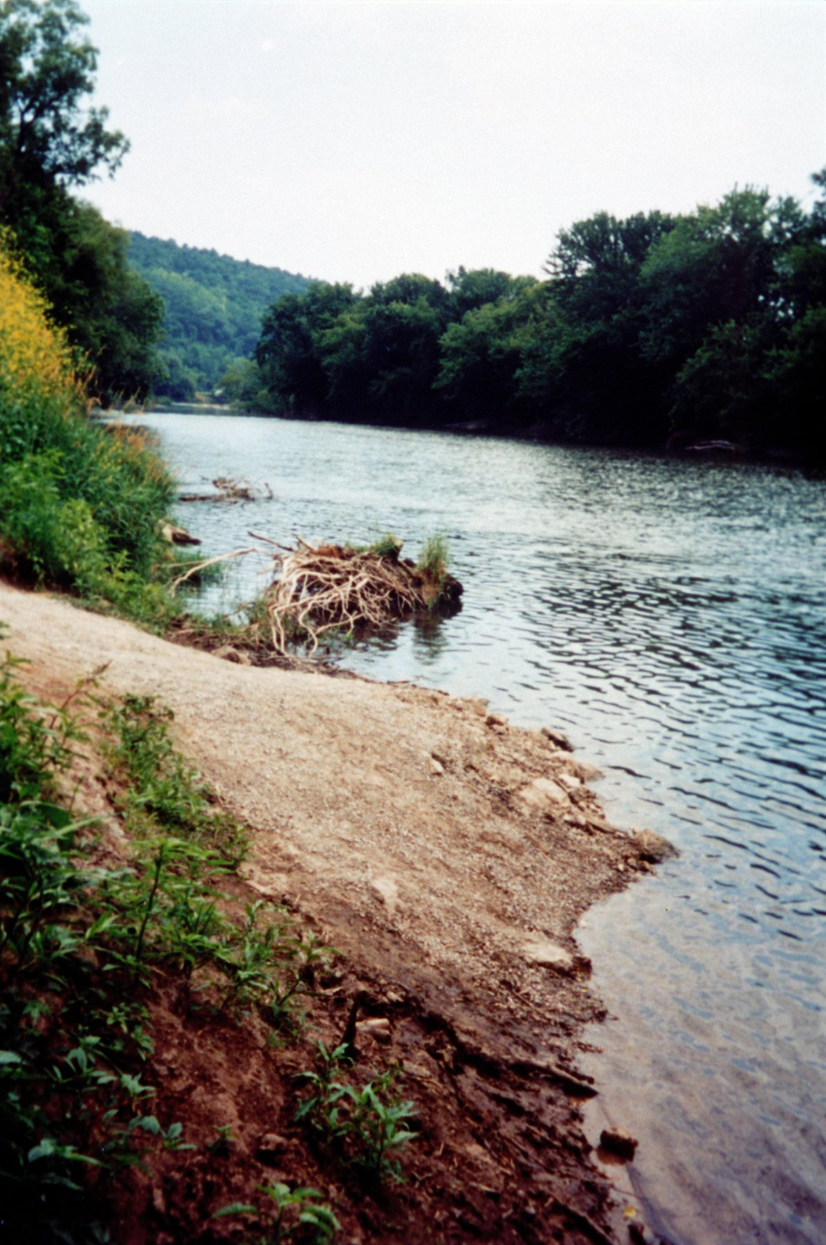
Route gallery
See this route on the water
Photos help show what the access looks like and what the route actually feels like on the water.
Sources
Check the data behind today's call.
Use this section when the page shows stale data, limited confidence, or a call you want to verify before driving.
Why this score Today's data confidence is checking
Data confidence mostly comes down to three things: how direct the gauge is, how clear the range is, and how fresh the data is.
- Checking data confidence notes.
- Checking data confidence cautions.
Outlook Tomorrow and weekend
This is a cautious early look. If the data is too thin, we leave it out.
Waiting on forecast.
Waiting on forecast.
Data behind the score Gauge, thresholds, and timing
These are the live readings and threshold notes behind today's score.
| Gauge site | Root River near Lanesboro, MN |
| Discharge | Checking |
| Gauge height | Checking |
| 24h trend | Checking |
| 24h change | Checking |
| Current band | Checking |
| Rain last 24h | Checking |
| Rain last 72h | Checking |
| Air temp | Checking |
| Water temp | Checking |
| Wind | Checking |
| Gusts | Checking |
| Rain timing | Checking |
| Target band | 325 cfs to 700 cfs |
| Low threshold | 200 cfs |
| High threshold | 1,200 cfs |
| Data confidence behind the range | Official and local sources |
| Gauge observed | Checking |
| Paddle Today updated | Checking |
| Main source behind this score | MilesPaddled Root River I same-segment gauge note |
| Gauge source | Checking |
| Weather source | Checking |
| Rainfall source | Checking |
Notes What to know before you go
These notes cover the access details, route quirks, and source caveats most likely to matter once you get there.
- Exact-route gauge note 2.4 ft / 300 cfs = recommended, but low
MilesPaddled ties this exact Lanesboro to Peterson route to a 300 cfs day at the Lanesboro gauge and describes it as a recommended but low-water run.
- Route context MN DNR recommended day trip
MN DNR supports Lanesboro to Peterson as a marquee Root River day trip with public accesses at both ends.
- Trail-town amenities Lanesboro and Peterson both support launches and parking
The official DNR Guide to Trail Towns says Lanesboro has a trail center, parking, campground, and public restrooms at the trailhead, while Peterson has a canoe launch plus public restrooms, parking, and a campground in town.
- Primary caution Low water and post-rain debris
Low water means scraping and channel-picking. After rain, current and wood risk rise before a simple score fully captures it.
- Threshold confidence Mixed
The route and gauge are direct, but the usable range is still an estimate rather than an official paddling range.
Verify it yourself Check the source links
Use these links to double-check the gauge, route details, and access notes before you head out.
Paddler reports
Recent notes from paddlers
A few quick notes from people who were on this route recently.
Reports
Photos, paddler notes, and updates.
See what others have shared, then add a condition report, upload photos, or flag anything that needs fixing.
Share your trip
Keep exploring
More routes to check next
Compare another stretch on this river, or jump to nearby options before you pick a plan.
Quick answers
Root River paddling FAQ
What water level is good for paddling Root River?
Paddle Today watches Root River near Lanesboro, MN and treats 325 cfs to 700 cfs as the target band for this route, with weather and recent trend included in the final score.
Where does this Root River route start and end?
This route starts at Highway 16 / Lanesboro access and ends at Highway 16 / Peterson access, about 13.5 mi on the water.
Is this Root River route good for beginners?
This is listed as an easy route, but conditions still matter. Check today's score, water level, weather, and access notes before you go.
Flag a change
See something outdated?
Access, hazards, wood, and shuttle details change. Send a quick correction if something looks off.