See all 5 routes on Upper Iowa River
Iowa | Northeast Iowa
Upper Iowa River
Kendallville Park to Bluffton Fir Stand Access
Check current paddling conditions for this Upper Iowa River route, including water level, recent gauge trend, weather, and route details.
Route snapshot
Loading the route snapshot. This usually takes a few seconds.
Today
Get the answer fast, then scan the route.
Start with the verdict, current conditions, route plan, and quick facts before you commit to the drive.
Today's conditions
Gauge
Recent trend
Checking preferred range.
Checking trend.
Gauge source
-- Checking timestampMN DNR provides the current paddling level here, but not chart-ready recent samples.
Weather
Best window today
Checking weather.
Today by hour
Short-route forecast
Checking the next several hours.
Quick facts
Plan
Dial in the shuttle, distance, and access.
Use this section once the route looks viable and you need to turn it into an actual trip plan.
Access plan
Access, shuttle, and map
This is a long Driftless day with county-park staging at Kendallville and a Bluffton Palisades finish. Low water hurts trip quality well before it becomes unsafe.
Put-in
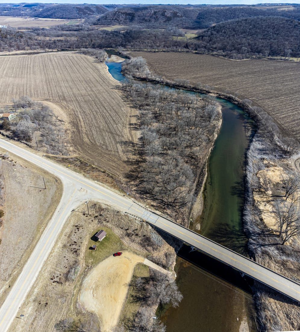
Kendallville Park Canoe Access Open mapKendallville is a strong staging access with county campground support, and the Upper Iowa River Paddler's Guide identifies Bluffton Fir Stand Access at the downstream end of this segment.
Take-out
Bluffton Fir Stand Access / Bluffton Road-W20 canoe ramp Open mapThis is a long day for beginners, so consider splitting it if your group is new.
Pulling access map tiles. Usually under 5 seconds.
Access caveats
- Kendallville is a strong staging access with county campground support, and the Upper Iowa River Paddler's Guide identifies Bluffton Fir Stand Access at the downstream end of this segment.
- This is a long day for beginners, so consider splitting it if your group is new.
Watch for
- Strainers or logjams after high water.
- Cold-water exposure in spring or fall.
- Faster current and fewer margins when levels rise.
Route gallery
See this route on the water
Photos help show what the access looks like and what the route actually feels like on the water.
Sources
Check the data behind today's call.
Use this section when the page shows stale data, limited confidence, or a call you want to verify before driving.
Why this score Today's data confidence is checking
Data confidence mostly comes down to three things: how direct the gauge is, how clear the range is, and how fresh the data is.
- Checking data confidence notes.
- Checking data confidence cautions.
Outlook Tomorrow and weekend
This is a cautious early look. If the data is too thin, we leave it out.
Waiting on forecast.
Waiting on forecast.
Data behind the score Gauge, thresholds, and timing
These are the live readings and threshold notes behind today's score.
| Gauge site | Upper Iowa River at Bluffton, IA |
| Discharge | Checking |
| Gauge height | Checking |
| 24h trend | Checking |
| 24h change | Checking |
| Current band | Checking |
| Rain last 24h | Checking |
| Rain last 72h | Checking |
| Air temp | Checking |
| Water temp | Checking |
| Wind | Checking |
| Gusts | Checking |
| Rain timing | Checking |
| Ideal range | Needs paddler reports |
| Known low-water floor | 200 cfs |
| High threshold | Not calibrated yet |
| Data confidence behind the range | Local route guidance |
| Gauge observed | Checking |
| Paddle Today updated | Checking |
| Main source behind this score | MilesPaddled Upper Iowa River III minimum-flow note |
| Gauge source | Checking |
| Weather source | Checking |
| Rainfall source | Checking |
Notes What to know before you go
These notes cover the access details, route quirks, and source caveats most likely to matter once you get there.
- Published minimum 200 cfs
MilesPaddled treats anything below 200 cfs on the Decorah gauge as a scrape-prone day to avoid.
- Route shape Long Driftless day trip
Kendallville to Bluffton is a scenic but full-length outing through the Upper Iowa bluff corridor. Low water hurts trip quality before it becomes unsafe.
- Kendallville staging County park access and campground
The Winneshiek County paddlers guide lists Kendallville Park Access and campground support, which strengthens the upstream endpoint as a real staging access rather than just a dropped pin.
- Bluffton take-out support Paddler guide access shown
The Upper Iowa River Paddler's Guide identifies Bluffton Fir Stand Access as a public access at the downstream end of this segment.
- Flood caution Rain matters quickly
Fast rises and fresh wood after storms lower confidence because the high end is still not well defined.
- Difficulty Easy
Easy current at normal levels, but still a real river day rather than a guaranteed family float.
Verify it yourself Check the source links
Use these links to double-check the gauge, route details, and access notes before you head out.
Paddler reports
Recent notes from paddlers
A few quick notes from people who were on this route recently.
Reports
Photos, paddler notes, and updates.
See what others have shared, then add a condition report, upload photos, or flag anything that needs fixing.
Share your trip
Keep exploring
More routes to check next
Compare another stretch on this river, or jump to nearby options before you pick a plan.
Quick answers
Upper Iowa River paddling FAQ
What water level is good for paddling Upper Iowa River?
Paddle Today watches Upper Iowa River at Bluffton, IA and uses 200 cfs as the conservative low-water floor for this route. The ideal range still needs more paddler reports.
Where does this Upper Iowa River route start and end?
This route starts at Kendallville Park Canoe Access and ends at Bluffton Fir Stand Access / Bluffton Road-W20 canoe ramp, about 16.5 mi on the water.
Is this Upper Iowa River route good for beginners?
This is listed as an easy route, but conditions still matter. Check today's score, water level, weather, and access notes before you go.
Flag a change
See something outdated?
Access, hazards, wood, and shuttle details change. Send a quick correction if something looks off.