See all 3 routes on Volga River
Iowa | Northeast Iowa
Volga River
Mederville Canoe Access to Littleport Canoe Access
Check current paddling conditions for this Volga River route, including water level, recent gauge trend, weather, and route details.
Route snapshot
Loading the route snapshot. This usually takes a few seconds.
Today
Get the answer fast, then scan the route.
Start with the verdict, current conditions, route plan, and quick facts before you commit to the drive.
Today's conditions
Gauge
Recent trend
Checking preferred range.
Checking trend.
Gauge source
-- Checking timestampMN DNR provides the current paddling level here, but not chart-ready recent samples.
Weather
Best window today
Checking weather.
Today by hour
Short-route forecast
Checking the next several hours.
Quick facts
Plan
Dial in the shuttle, distance, and access.
Use this section once the route looks viable and you need to turn it into an actual trip plan.
Access plan
Access, shuttle, and map
Launch at Mederville Canoe Access below the Evergreen Road / Eclipse Road bridge corridor and take out at Littleport Canoe Access by the Bridge Street / X21 bridge. This short Volga River leg has limestone outcrops, wooded banks, sandbars, and quick Class I riffles.
Put-in
Mederville Canoe Access Open mapMederville Canoe Access is hidden below the bridge corridor and reached from Eclipse Road; the path to the water is steep enough that rope or a second person is useful.
Take-out
Littleport Canoe Access Open mapLittleport Canoe Access uses steep stairs near the southeast corner of the bridge, and boats may need to be carried or dragged under the bridge because of the guardrail and shoulder parking pattern.
Pulling access map tiles. Usually under 5 seconds.
Access caveats
- Mederville Canoe Access is hidden below the bridge corridor and reached from Eclipse Road; the path to the water is steep enough that rope or a second person is useful.
- Littleport Canoe Access uses steep stairs near the southeast corner of the bridge, and boats may need to be carried or dragged under the bridge because of the guardrail and shoulder parking pattern.
- Both endpoints are named public-access locations in route and water-quality records, but they are not polished ramp launches. Scout the take-out before launching if you have not used it before.
Watch for
- About 15 easy Class I riffle pitches that become scrape-prone near the low band and pushier above the broad target window.
- Low branches over faster current, especially after storms or when the Littleport gauge is in the high band.
- Steep, slippery banks and stairs at both landings, cold spring/fall water, and fast rises after heavy rain in the Driftless hills.
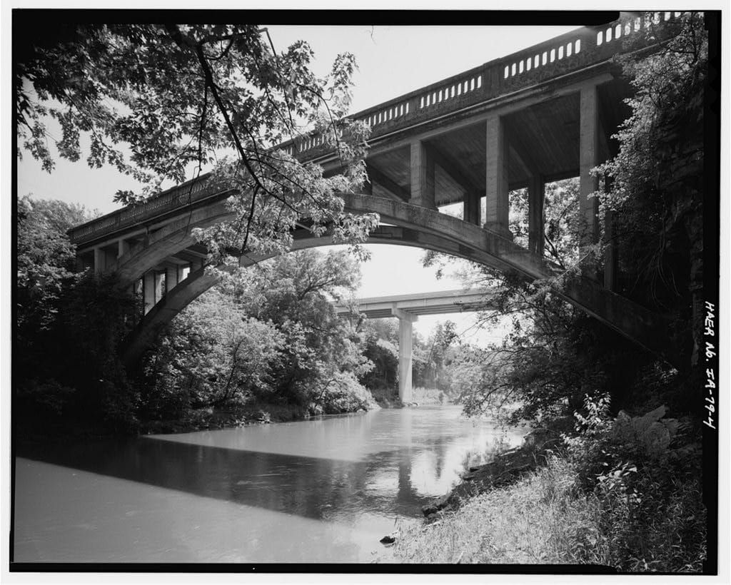
Route gallery
See this route on the water
Photos help show what the access looks like and what the route actually feels like on the water.
Sources
Check the data behind today's call.
Use this section when the page shows stale data, limited confidence, or a call you want to verify before driving.
Why this score Today's data confidence is checking
Data confidence mostly comes down to three things: how direct the gauge is, how clear the range is, and how fresh the data is.
- Checking data confidence notes.
- Checking data confidence cautions.
Outlook Tomorrow and weekend
This is a cautious early look. If the data is too thin, we leave it out.
Waiting on forecast.
Waiting on forecast.
Data behind the score Gauge, thresholds, and timing
These are the live readings and threshold notes behind today's score.
| Gauge site | Volga River at Littleport, IA |
| Gauge height | Checking |
| Discharge | Checking |
| 24h trend | Checking |
| 24h change | Checking |
| Current band | Checking |
| Rain last 24h | Checking |
| Rain last 72h | Checking |
| Air temp | Checking |
| Water temp | Checking |
| Wind | Checking |
| Gusts | Checking |
| Rain timing | Checking |
| Target band | 4.40 ft to 4.90 ft |
| Low threshold | 4.10 ft |
| High threshold | 5.40 ft |
| Data confidence behind the range | Local route guidance |
| Gauge observed | Checking |
| Paddle Today updated | Checking |
| Main source behind this score | Wisconsin River Trips Volga River Mederville gauge-height ladder |
| Gauge source | Checking |
| Weather source | Checking |
| Rainfall source | Checking |
Notes What to know before you go
These notes cover the access details, route quirks, and source caveats most likely to matter once you get there.
- Published route report Mederville to Littleport, 5.7 miles
Wisconsin River Trips documents Mederville Canoe Access to Littleport Canoe Access as a 5.7-mile Volga River route with mostly undeveloped banks, outcrops, bluffs, and about 15 Class I pitches.
- Target range 4.4 to 4.9 ft
The route ladder treats 4.4 to 4.6 ft as shallow but fine, 4.7 ft as average and a good target, and 4.8 to 4.9 ft as above average but still okay for paddling.
- Low-water floor 4.1 ft
The same Littleport-gauge ladder says less than 4.1 ft is likely too shallow and 4.2 to 4.3 ft might be too shallow.
- High-water ceiling 5.4+ ft
Wisconsin River Trips describes 5.4 to 5.8 ft as high and perhaps only suitable for experienced paddlers, with 5.9 ft and higher as very high and expert-only.
- Direct gauge USGS 05412400
USGS operates Volga River at Littleport, IA on the same river at the route take-out bridge, with current discharge and gage-height observations.
- Put-in coordinate support Volga River at Mederville Access
The Water Quality Portal / Iowa DNR site named Volga River at Mederville Access places the access at 42.7637267, -91.4218817, matching the Mederville bridge-area launch corridor described by the route report.
- Take-out coordinate support Volga River at Littleport (32)
The Iowa DNR AQuIA / Water Quality Portal site named Volga River at Littleport (32) places the bridge-area take-out corridor at 42.7536533, -91.3690117, matching the Littleport Canoe Access and USGS gauge location.
- Public access context Clayton County canoe-access map context
Clayton County trout-fishing guide map context marks canoe access symbols around the Mederville, Littleport, and lower Volga corridor, corroborating the named public access pattern used by the route report.
Verify it yourself Check the source links
Use these links to double-check the gauge, route details, and access notes before you head out.
Paddler reports
Recent notes from paddlers
A few quick notes from people who were on this route recently.
Reports
Photos, paddler notes, and updates.
See what others have shared, then add a condition report, upload photos, or flag anything that needs fixing.
Share your trip
Keep exploring
More routes to check next
Compare another stretch on this river, or jump to nearby options before you pick a plan.
Quick answers
Volga River paddling FAQ
What water level is good for paddling Volga River?
Paddle Today watches Volga River at Littleport, IA and treats 4.40 ft to 4.90 ft as the target band for this route, with weather and recent trend included in the final score.
Where does this Volga River route start and end?
This route starts at Mederville Canoe Access and ends at Littleport Canoe Access, about 5.7 mi on the water.
Is this Volga River route good for beginners?
This is listed as an easy route, but conditions still matter. Check today's score, water level, weather, and access notes before you go.
Flag a change
See something outdated?
Access, hazards, wood, and shuttle details change. Send a quick correction if something looks off.