See all 14 routes on Kansas River
Kansas | Northeast Kansas
Kansas River
Belvue to Kaw River State Park
Check current paddling conditions for this Kansas River route, including water level, recent gauge trend, weather, and route details.
Route snapshot
Loading the route snapshot. This usually takes a few seconds.
Today
Get the answer fast, then scan the route.
Start with the verdict, current conditions, route plan, and quick facts before you commit to the drive.
Today's conditions
Gauge
Recent trend
Checking preferred range.
Checking trend.
Gauge source
-- Checking timestampMN DNR provides the current paddling level here, but not chart-ready recent samples.
Weather
Best window today
Checking weather.
Today by hour
Short-route forecast
Checking the next several hours.
Quick facts
Plan
Dial in the shuttle, distance, and access.
Use this section once the route looks viable and you need to turn it into an actual trip plan.
Access plan
Access, shuttle, and map
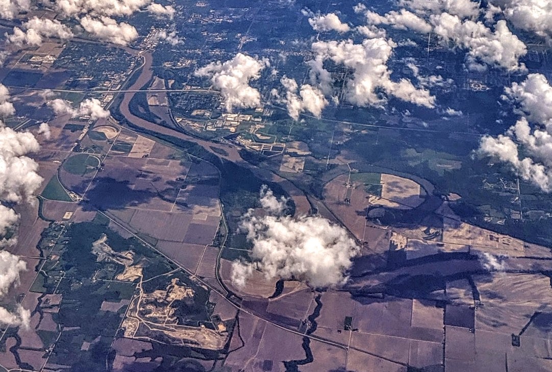
Launch at Belvue and take out at Kaw River State Park in Topeka for a 29-mile public Kansas River Water Trail segment. Friends of the Kaw describes this as non-novice and suitable as an overnight when sandbars are available; the Topeka Weir USGS gauge is near the downstream end.
Put-in
Belvue Access Ramp Open mapFriends of the Kaw says Belvue to Kaw River State Park is a 29-mile stretch with no normal intermediate access. Do not launch unless the group can complete the distance or has a legal emergency plan.
Take-out
Kaw River State Park Access Ramp Open mapKaw River State Park gates are locked at night even though Friends of the Kaw says parking is allowed 24 hours; verify current state-park access, parking, and retrieval logistics before leaving a vehicle.
Pulling access map tiles. Usually under 5 seconds.
Access caveats
- Friends of the Kaw says Belvue to Kaw River State Park is a 29-mile stretch with no normal intermediate access. Do not launch unless the group can complete the distance or has a legal emergency plan.
- Kaw River State Park gates are locked at night even though Friends of the Kaw says parking is allowed 24 hours; verify current state-park access, parking, and retrieval logistics before leaving a vehicle.
- The Kaw River State Park ramp can have a sandbar at its base after high water, and low water may require carrying boats and gear across sand.
- The Topeka Water Plant low-head dam is two miles below Kaw River State Park. End at the state park unless your group has a separate dam portage or paddler-chute plan.
- All access and parking are subject to same-day city, county, state-park, and ramp conditions. Mud, silt, high-water closures, locked gates, and shifted sand can change ramp usability.
Watch for
- Long exposed mileage, fatigue, heat, storms, and wind across open bends. This is not a novice day-trip distance.
- Low flows below about 1,000 cfs can make the channel narrow and make sandbar navigation slow, while very low water can turn 29 miles into a much longer effort.
- Flows above 5,000 cfs are outside the novice band, and above 8,000 cfs Friends of the Kaw says sandbar rest stops are scarce, which also undermines overnight camp planning.
- Floating wood, strainers, bank hooks and fishing lines, changing sandbars, and private banks along the Kaw.
- Use only public ramps and legal sandbar stops; do not rely on private banks or road bridges as planned exits.
Route gallery
See this route on the water
Photos help show what the access looks like and what the route actually feels like on the water.
Sources
Check the data behind today's call.
Use this section when the page shows stale data, limited confidence, or a call you want to verify before driving.
Why this score Today's data confidence is checking
Data confidence mostly comes down to three things: how direct the gauge is, how clear the range is, and how fresh the data is.
- Checking data confidence notes.
- Checking data confidence cautions.
Outlook Tomorrow and weekend
This is a cautious early look. If the data is too thin, we leave it out.
Waiting on forecast.
Waiting on forecast.
Data behind the score Gauge, thresholds, and timing
These are the live readings and threshold notes behind today's score.
| Gauge site | Kansas River above Topeka Weir at Topeka, KS |
| Discharge | Checking |
| Gauge height | Checking |
| 24h trend | Checking |
| 24h change | Checking |
| Current band | Checking |
| Rain last 24h | Checking |
| Rain last 72h | Checking |
| Air temp | Checking |
| Water temp | Checking |
| Wind | Checking |
| Gusts | Checking |
| Rain timing | Checking |
| Target band | 1,500 cfs to 5,000 cfs |
| Low threshold | 1,000 cfs |
| High threshold | 8,000 cfs |
| Data confidence behind the range | Official and local sources |
| Gauge observed | Checking |
| Paddle Today updated | Checking |
| Main source behind this score | Friends of the Kaw safety bands and USACE Kansas River recreation flow impacts |
| Gauge source | Checking |
| Weather source | Checking |
| Rainfall source | Checking |
Notes What to know before you go
These notes cover the access details, route quirks, and source caveats most likely to matter once you get there.
- Public put-in Belvue Access Ramp, RM 119
Friends of the Kaw lists Belvue with GPS 39.20284, -96.17552, a river-left access ramp, gravel parking, picnic tables, kiosk, trash can, fire ring, and no restrooms or lighting.
- Public take-out Kaw River State Park, RM 90
Friends of the Kaw lists Kaw River State Park with GPS 39.06907, -95.75342, a river-right wide concrete ramp, paved parking for 20 or more vehicles, kiosk, trash can, and state-park context.
- Route distance About 29 river miles
The Belvue access page says the next access is Kaw River State Park at Topeka, 29 miles downstream, and says this section is not recommended for novice boaters but can be a good overnight when sandbars are exposed.
- No intermediate ramp Belvue-to-Kaw River State Park gap
Friends of the Kaw says Kansas River ramps are generally about every 10 miles except De Soto to Cedar Creek and Belvue to Kaw River State Park, the latter being a 29-mile stretch.
- Public river and ramps Kansas, Arkansas, and Missouri Rivers public in Kansas
Friends of the Kaw says the Kansas, Arkansas, and Missouri Rivers are public rivers in Kansas and that all Kansas River boat ramps are open to the public.
- Flow safety bands Novices under 5,000 cfs; all paddlers under 8,000 cfs
Friends of the Kaw recommends novice paddlers stay below 5,000 cfs and more experienced paddlers stay below 8,000 cfs; at 8,000 cfs and higher, few sandbars remain for rest stops.
- Low-flow recreation impacts <1,000 / 1,500-5,000 / 8,000+ cfs
USACE Kansas River recreation material identifies difficult paddling below 1,000 cfs, no recreation impacts from 1,500 to 5,000 cfs, novice impacts from 5,000 to 8,000 cfs, and extremely difficult paddling from 8,000 to 11,000 cfs.
- Gauge USGS 06888990 above Topeka Weir
USGS operates Kansas River above Topeka Weir at Topeka, KS near the downstream end of this route. Use it as the lower-route same-river gauge, with PaddleTodayV2 handling live USGS observations.
- Downstream dam caveat Topeka dam two miles below take-out
Friends of the Kaw says the next access below Kaw River State Park is the Topeka Water Plant Low-Head Dam and Access Ramp two miles downriver and that paddlers should not go over the dam in any vessel.
Verify it yourself Check the source links
Use these links to double-check the gauge, route details, and access notes before you head out.
Paddler reports
Recent notes from paddlers
A few quick notes from people who were on this route recently.
Reports
Photos, paddler notes, and updates.
See what others have shared, then add a condition report, upload photos, or flag anything that needs fixing.
Share your trip
Keep exploring
More routes to check next
Compare another stretch on this river, or jump to nearby options before you pick a plan.
Quick answers
Kansas River paddling FAQ
What water level is good for paddling Kansas River?
Paddle Today watches Kansas River above Topeka Weir at Topeka, KS and treats 1,500 cfs to 5,000 cfs as the target band for this route, with weather and recent trend included in the final score.
Where does this Kansas River route start and end?
This route starts at Belvue Access Ramp and ends at Kaw River State Park Access Ramp, about About 29 mi on the water.
Is this Kansas River route good for beginners?
This is listed as a hard route. Treat the live score as a planning aid, then confirm conditions, hazards, access, and group skill before launching.
Flag a change
See something outdated?
Access, hazards, wood, and shuttle details change. Send a quick correction if something looks off.