See all 14 routes on Kansas River
Kansas | Northeast Kansas
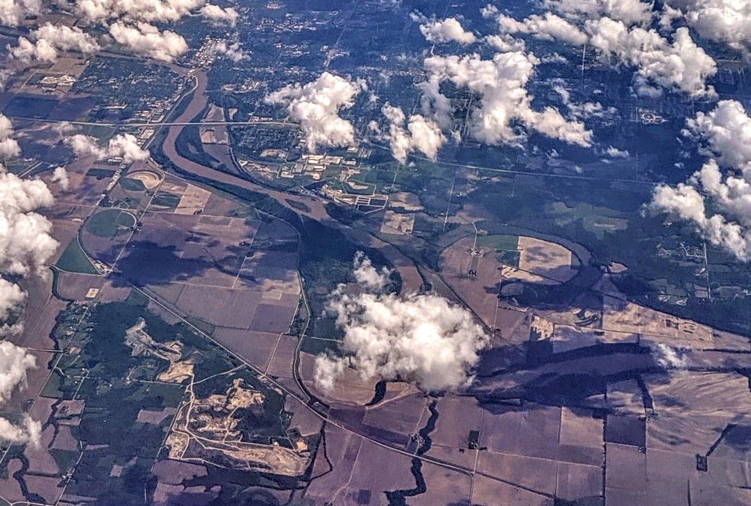
Kansas River
Wamego to Belvue
Check current paddling conditions for this Kansas River route, including water level, recent gauge trend, weather, and route details.
Route snapshot
Loading the route snapshot. This usually takes a few seconds.
Today
Get the answer fast, then scan the route.
Start with the verdict, current conditions, route plan, and quick facts before you commit to the drive.
Today's conditions
Gauge
Recent trend
Checking preferred range.
Checking trend.
Gauge source
-- Checking timestampMN DNR provides the current paddling level here, but not chart-ready recent samples.
Weather
Best window today
Checking weather.
Today by hour
Short-route forecast
Checking the next several hours.
Quick facts
Plan
Dial in the shuttle, distance, and access.
Use this section once the route looks viable and you need to turn it into an actual trip plan.
Access plan
Access, shuttle, and map
Launch at Wamego and take out at Belvue for a guarded 9.5-mile Kansas River Water Trail segment. The Wamego USGS gauge is in the put-in corridor, and the reach includes the Belvue partial low-head dam about one mile above the take-out.
Put-in
Wamego Access Ramp Open mapAt Wamego, Friends of the Kaw says it is often advisable to pass under the K-99 bridge and turn upstream next to the bank to reach the ramp; launching is simpler, but inspect bridge current and ramp condition before committing.
Take-out
Belvue Access Ramp Open mapThe Belvue partial low-head dam is at river mile 120, about one mile above the Belvue ramp. Friends of the Kaw says the dam begins on river right and extends more than halfway across the river; stay river left and watch for exposed or submerged rocks.
Pulling access map tiles. Usually under 5 seconds.
Access caveats
- At Wamego, Friends of the Kaw says it is often advisable to pass under the K-99 bridge and turn upstream next to the bank to reach the ramp; launching is simpler, but inspect bridge current and ramp condition before committing.
- The Belvue partial low-head dam is at river mile 120, about one mile above the Belvue ramp. Friends of the Kaw says the dam begins on river right and extends more than halfway across the river; stay river left and watch for exposed or submerged rocks.
- Belvue has primitive camping only by reservation through the city; do not assume overnight parking, camping, or adjacent-bank use is allowed without checking current local rules.
- All access and parking are subject to same-day city, county, and ramp conditions. Mud, silt, event closures, high-water cleanup, and shifted sand can change ramp usability.
Watch for
- The partial low-head dam and associated exposed or submerged rocks near Belvue. Do not run right-side dam structures, and do not attempt this reach if visibility, flow, or group skill makes the left-side line uncertain.
- Low flows below about 1,000 cfs can make the channel narrow and sandbar or rock navigation slow and technical.
- Flows above 5,000 cfs are outside the novice band, and above 8,000 cfs Friends of the Kaw says sandbar rest stops become scarce.
- Wind across open bends, storms, rising water, floating wood, strainers, bank hooks and fishing lines, and changing sandbars.
- Private banks along the Kaw; stay with public ramps and legal sandbar stops rather than climbing banks or using private land.
Route gallery
See this route on the water
Photos help show what the access looks like and what the route actually feels like on the water.
Sources
Check the data behind today's call.
Use this section when the page shows stale data, limited confidence, or a call you want to verify before driving.
Why this score Today's data confidence is checking
Data confidence mostly comes down to three things: how direct the gauge is, how clear the range is, and how fresh the data is.
- Checking data confidence notes.
- Checking data confidence cautions.
Outlook Tomorrow and weekend
This is a cautious early look. If the data is too thin, we leave it out.
Waiting on forecast.
Waiting on forecast.
Data behind the score Gauge, thresholds, and timing
These are the live readings and threshold notes behind today's score.
| Gauge site | Kansas River at Wamego, KS |
| Discharge | Checking |
| Gauge height | Checking |
| 24h trend | Checking |
| 24h change | Checking |
| Current band | Checking |
| Rain last 24h | Checking |
| Rain last 72h | Checking |
| Air temp | Checking |
| Water temp | Checking |
| Wind | Checking |
| Gusts | Checking |
| Rain timing | Checking |
| Target band | 1,500 cfs to 5,000 cfs |
| Low threshold | 1,000 cfs |
| High threshold | 8,000 cfs |
| Data confidence behind the range | Official and local sources |
| Gauge observed | Checking |
| Paddle Today updated | Checking |
| Main source behind this score | Friends of the Kaw safety bands and USACE Kansas River recreation flow impacts |
| Gauge source | Checking |
| Weather source | Checking |
| Rainfall source | Checking |
Notes What to know before you go
These notes cover the access details, route quirks, and source caveats most likely to matter once you get there.
- Public put-in Wamego Access Ramp, RM 128.5
Friends of the Kaw lists the Wamego ramp beneath the Kansas Highway 99 bridge with GPS 39.19828, -96.30537, river-left concrete ramp, parking, trash can, picnic table, kiosk, and downtown services nearby.
- Public take-out Belvue Access Ramp, RM 119
Friends of the Kaw lists Belvue with GPS 39.21644, -96.17678, a river-left concrete ramp, parking, portable toilet, trash can, picnic table, kiosk, and primitive camping by reservation through the city.
- Route distance About 9.5 river miles
The Wamego access page says the next access is Belvue, 9.5 miles downriver at river mile 119.
- Dam hazard Belvue partial low-head dam at RM 120
Friends of the Kaw flags a partial low-head dam about one mile above Belvue. It starts on river right and extends more than halfway across the river, so paddlers should stay river left and watch for exposed or submerged rocks.
- Public river and ramps Kansas, Arkansas, and Missouri Rivers public in Kansas
Friends of the Kaw says the Kansas, Arkansas, and Missouri Rivers are public rivers in Kansas and that all Kansas River boat ramps are open to the public.
- Flow safety bands Novices under 5,000 cfs; all paddlers under 8,000 cfs
Friends of the Kaw recommends novice paddlers stay below 5,000 cfs and more experienced paddlers stay below 8,000 cfs; at 8,000 cfs and higher, few sandbars remain for rest stops.
- Low-flow recreation impacts <1,000 / 1,500-5,000 / 8,000+ cfs
USACE Kansas River recreation material identifies difficult paddling below 1,000 cfs, no recreation impacts from 1,500 to 5,000 cfs, novice impacts from 5,000 to 8,000 cfs, and extremely difficult paddling from 8,000 to 11,000 cfs.
- Gauge USGS 06887500 at Wamego
USGS operates Kansas River at Wamego, KS in the put-in corridor with discharge and gage-height observations used by PaddleTodayV2 as the live same-river gauge.
Verify it yourself Check the source links
Use these links to double-check the gauge, route details, and access notes before you head out.
Paddler reports
Recent notes from paddlers
A few quick notes from people who were on this route recently.
Reports
Photos, paddler notes, and updates.
See what others have shared, then add a condition report, upload photos, or flag anything that needs fixing.
Share your trip
Keep exploring
More routes to check next
Compare another stretch on this river, or jump to nearby options before you pick a plan.
Quick answers
Kansas River paddling FAQ
What water level is good for paddling Kansas River?
Paddle Today watches Kansas River at Wamego, KS and treats 1,500 cfs to 5,000 cfs as the target band for this route, with weather and recent trend included in the final score.
Where does this Kansas River route start and end?
This route starts at Wamego Access Ramp and ends at Belvue Access Ramp, about About 9.5 mi on the water.
Is this Kansas River route good for beginners?
This is listed as a moderate route. Expect more planning than an easy float, and use the live score, route notes, and source links before committing.
Flag a change
See something outdated?
Access, hazards, wood, and shuttle details change. Send a quick correction if something looks off.